
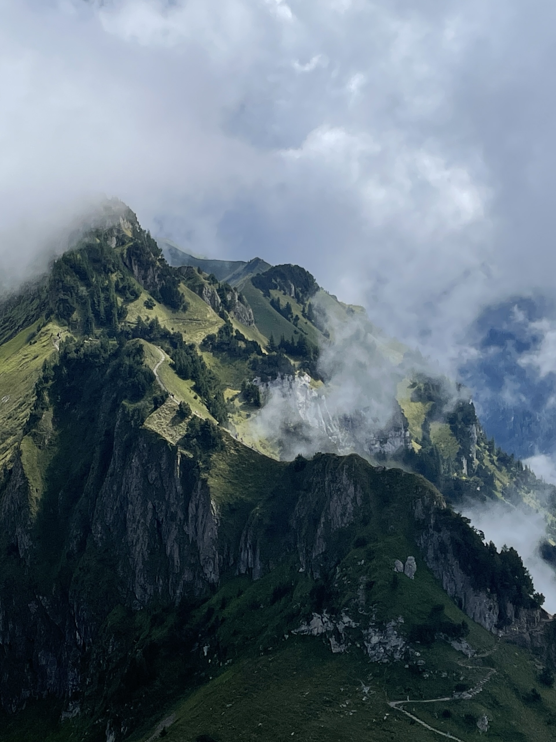
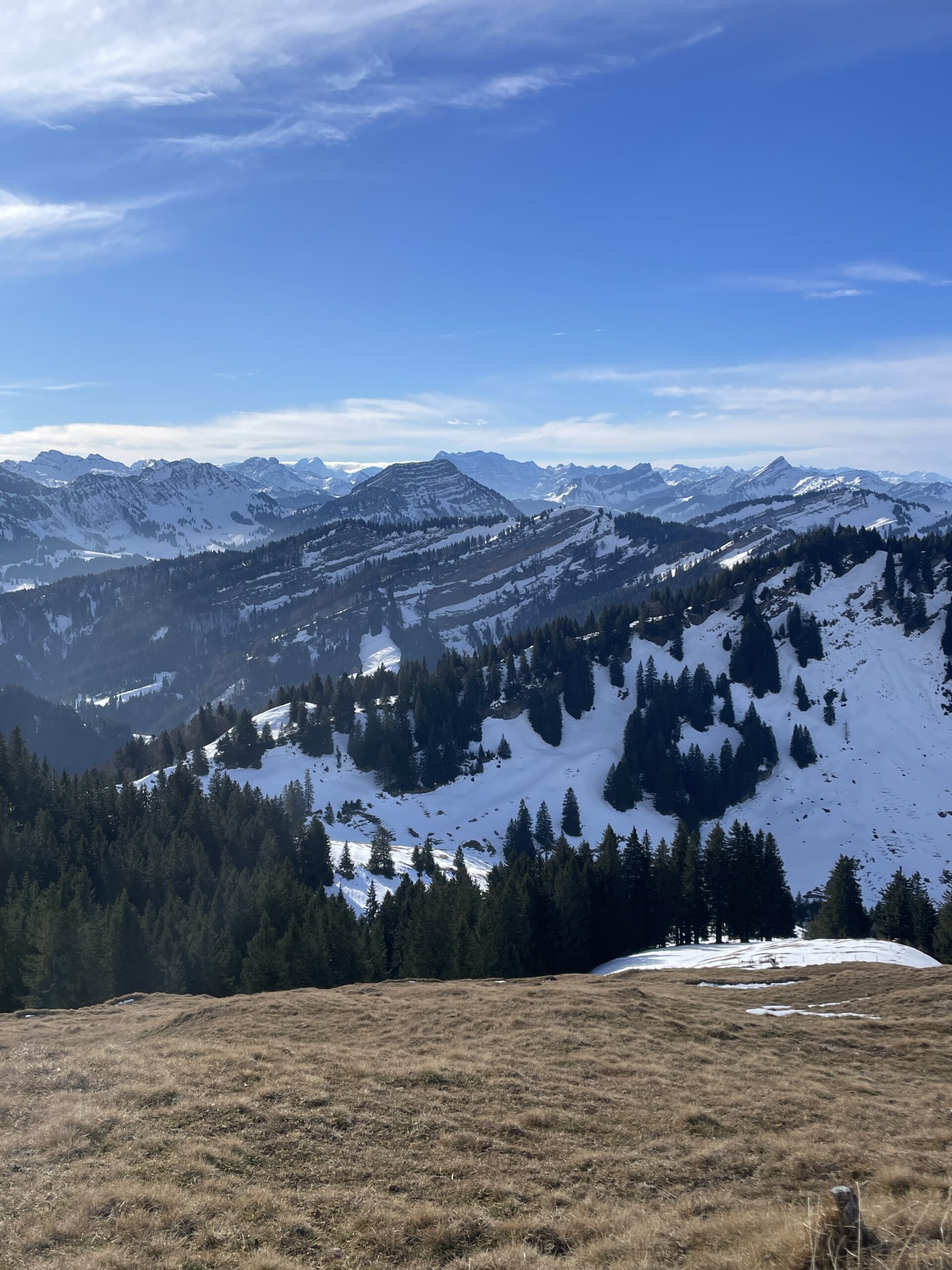
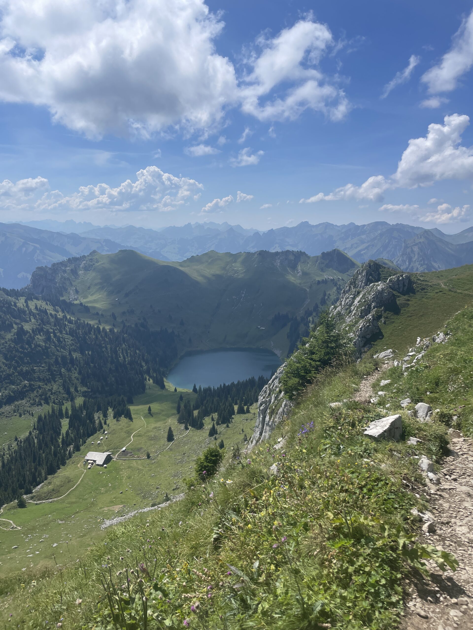
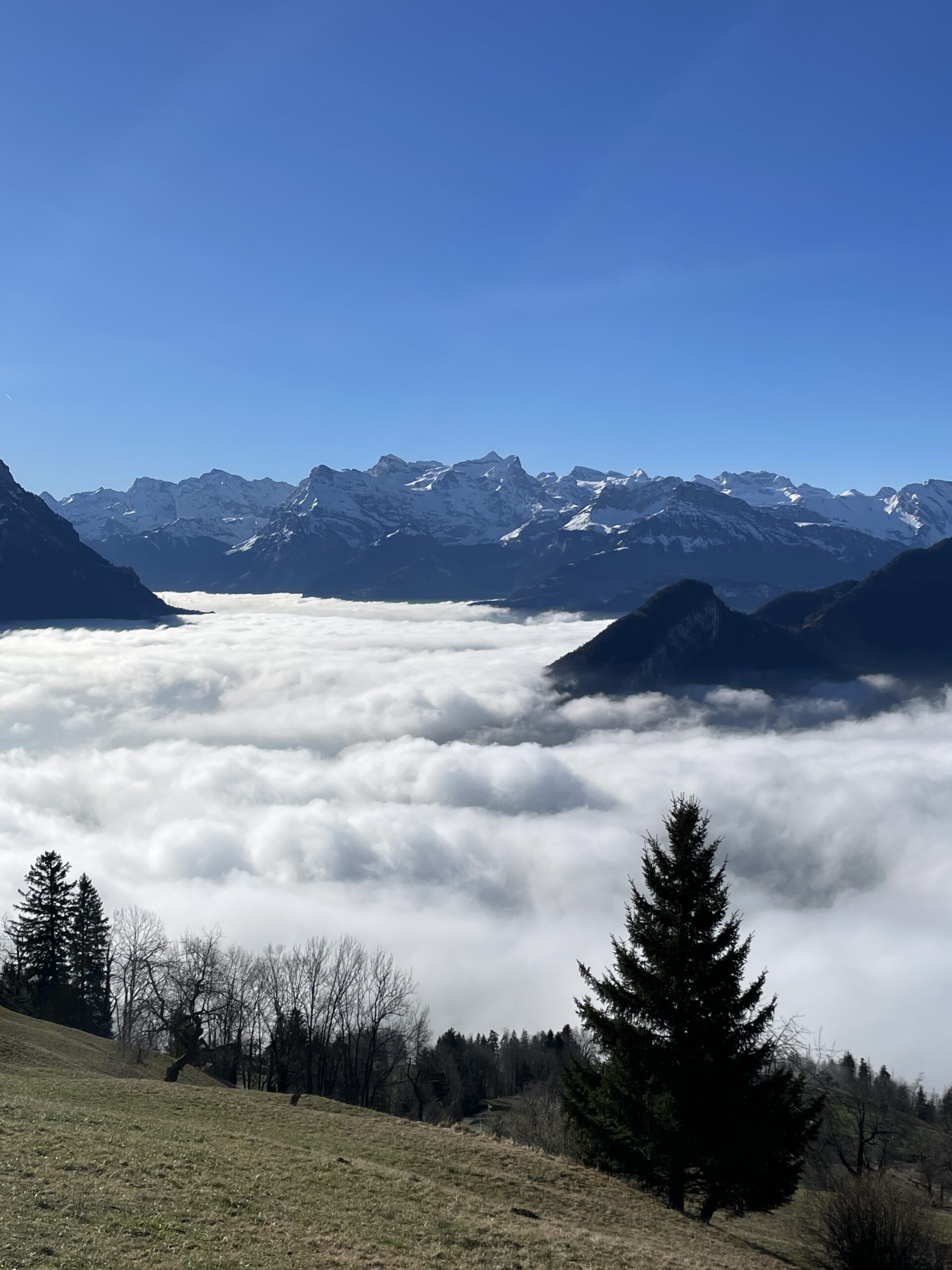
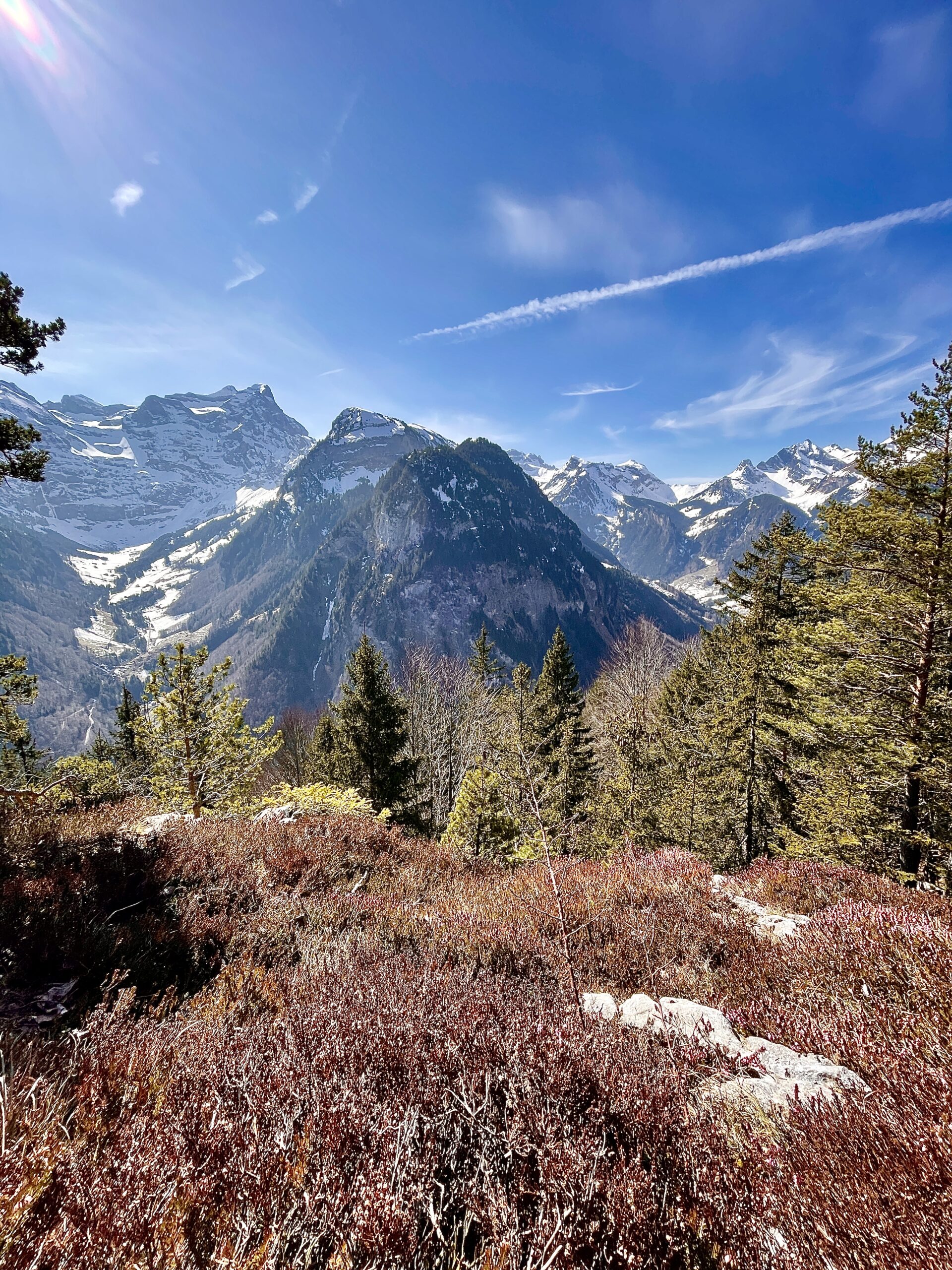
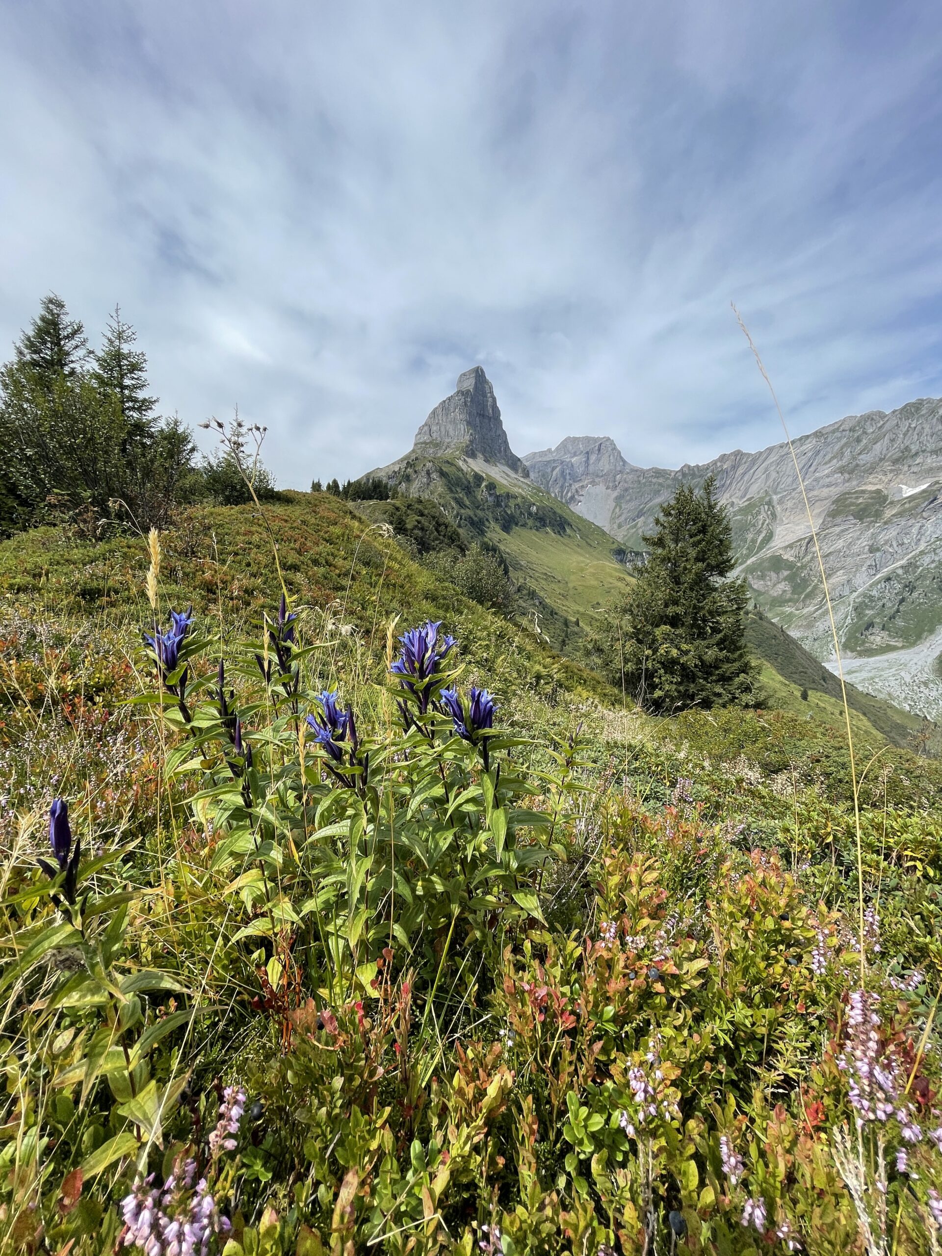
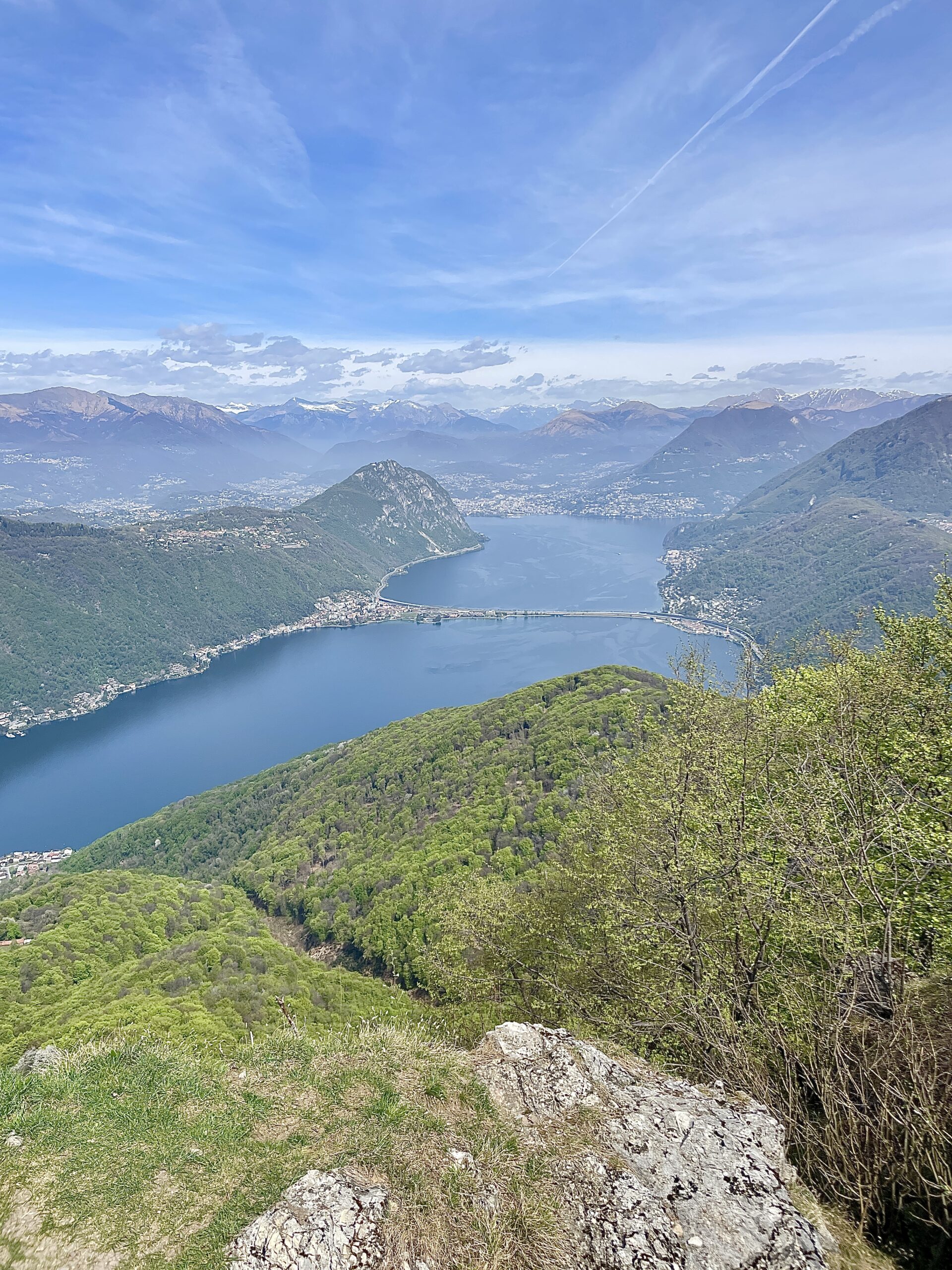
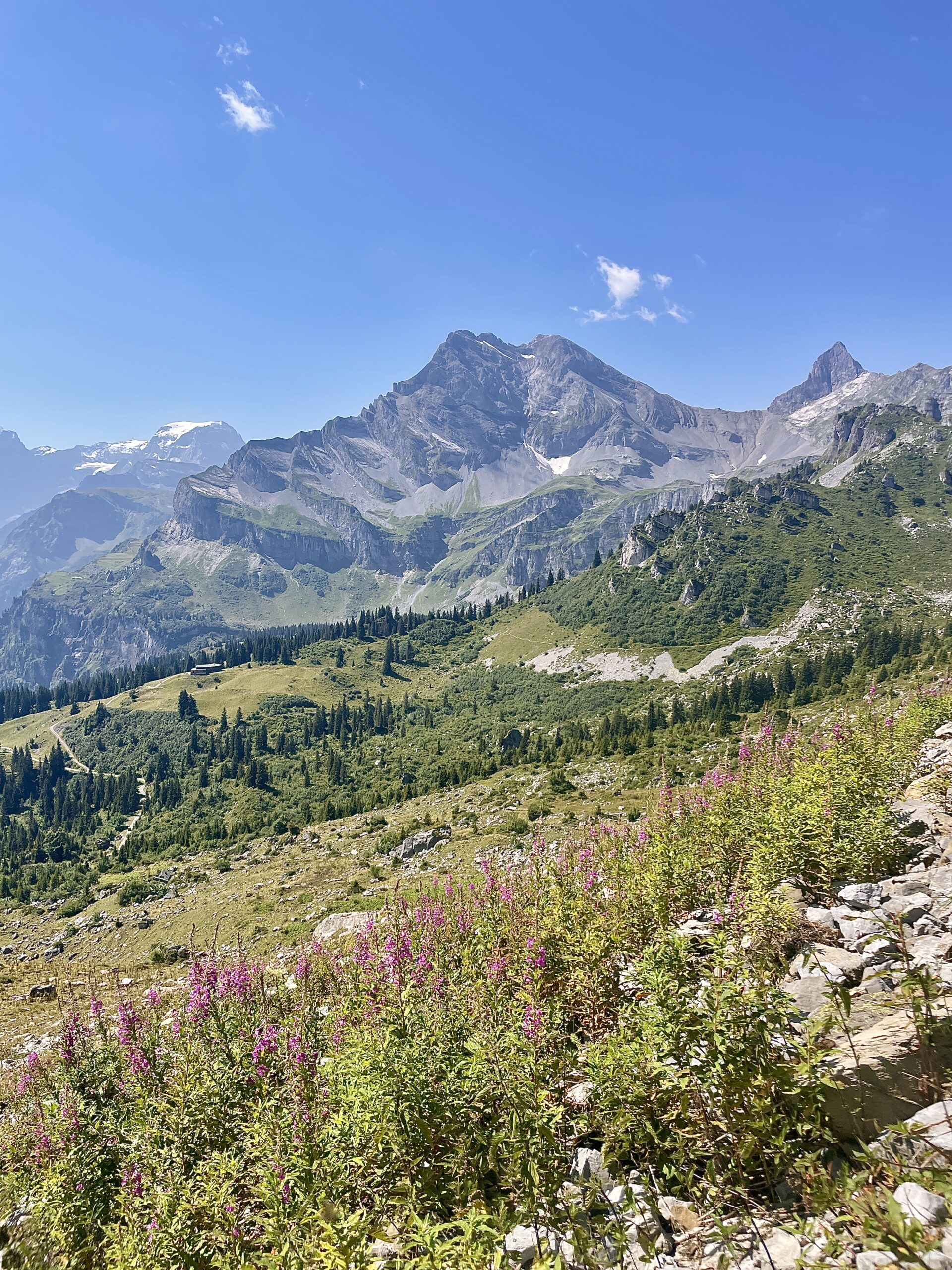
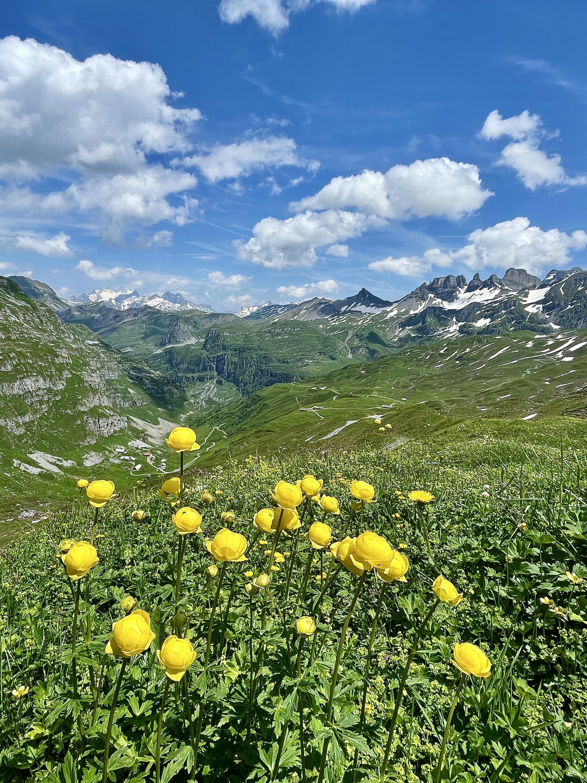
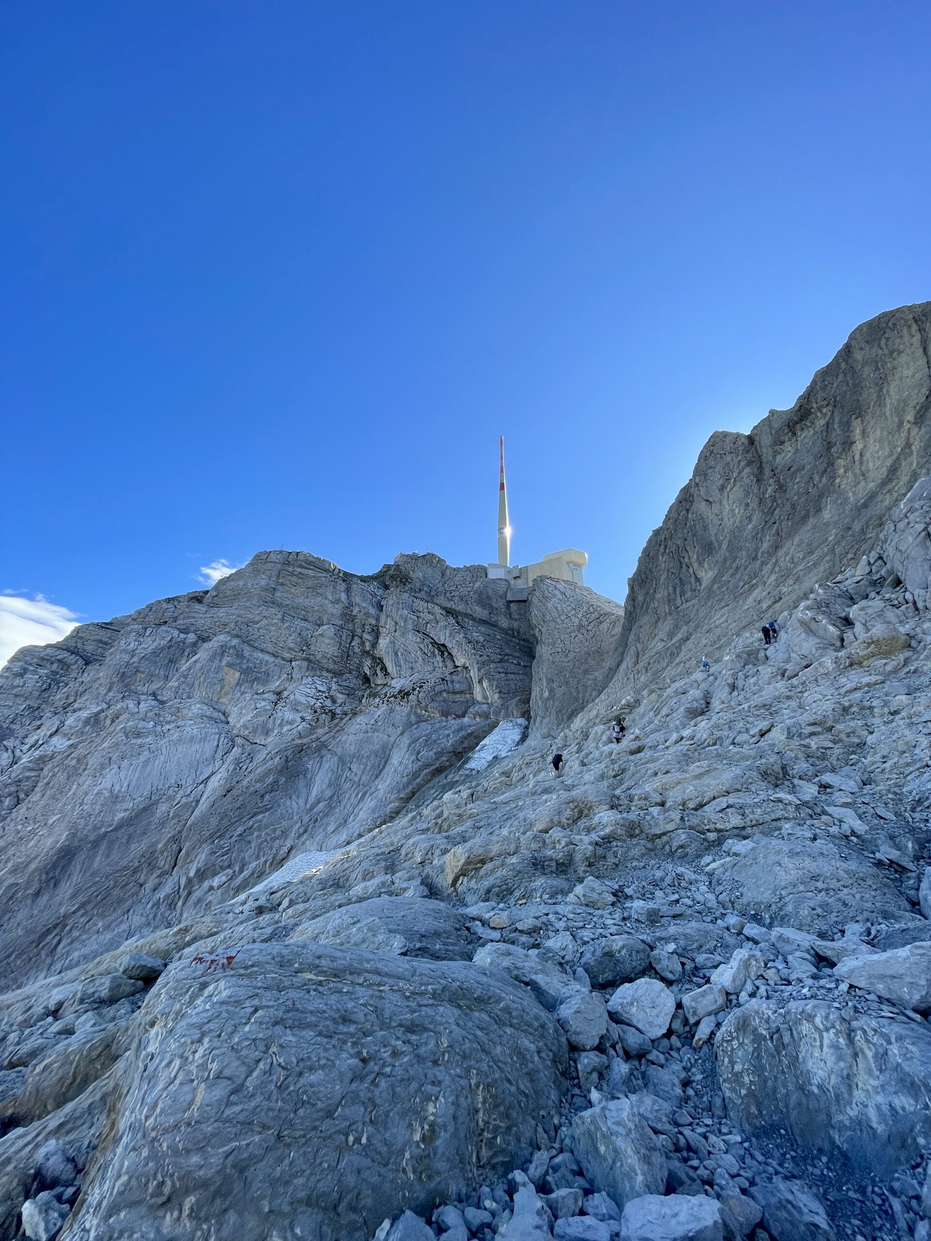
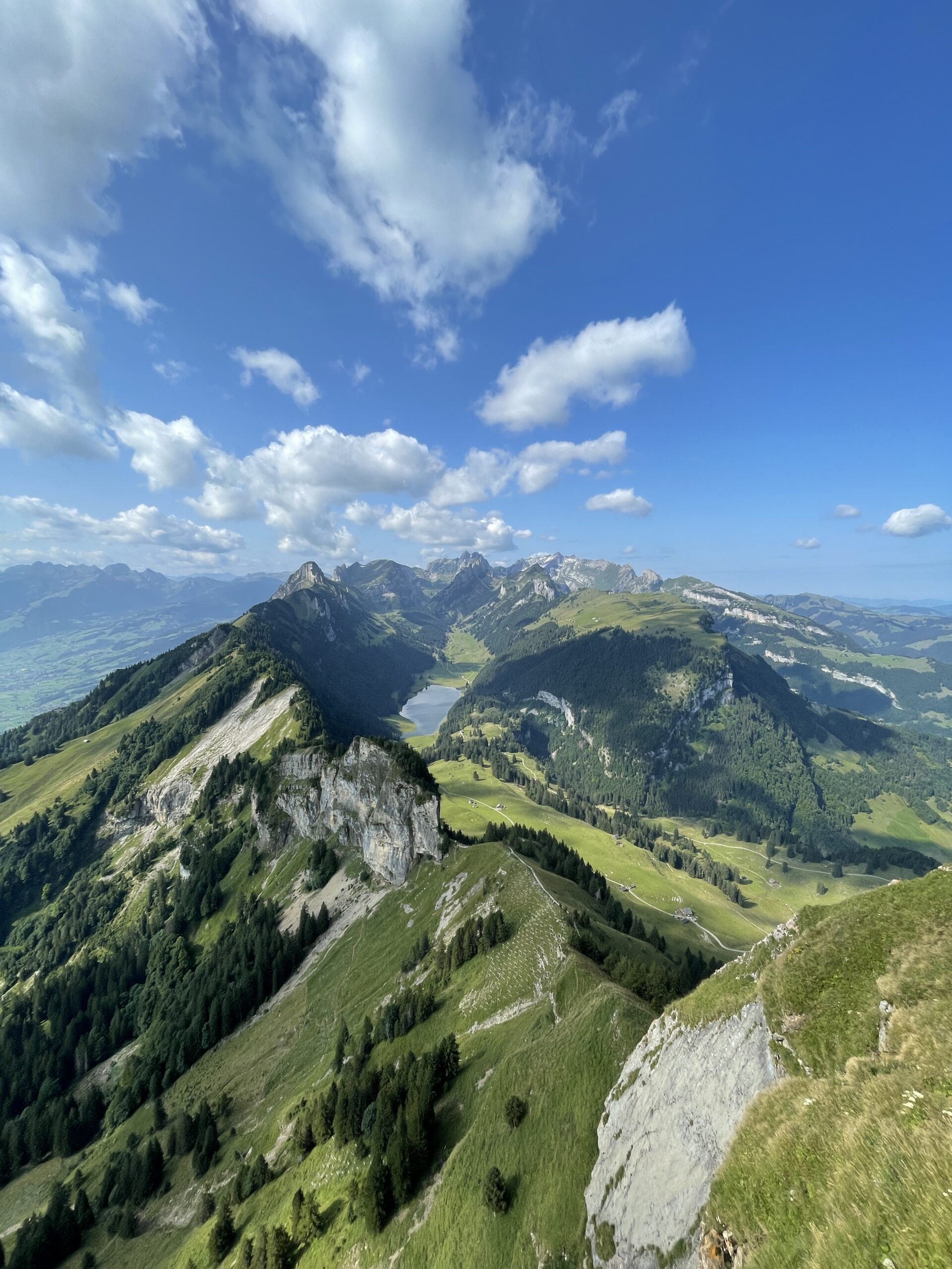
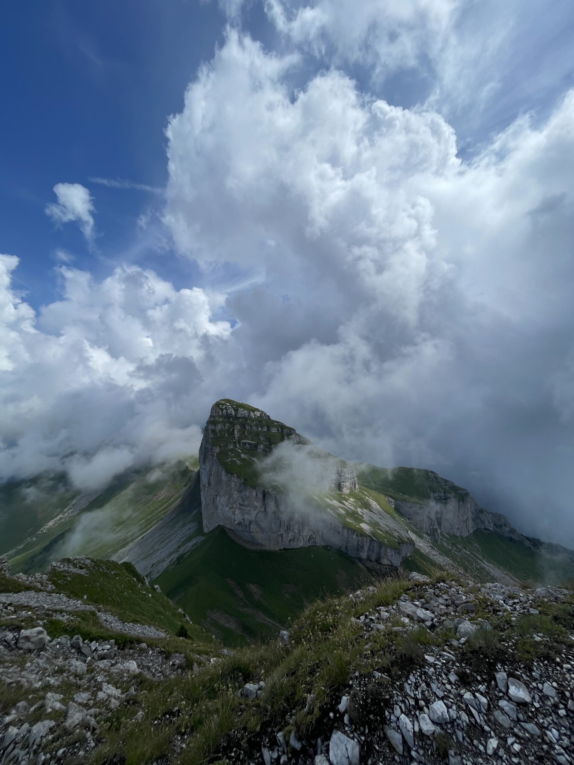
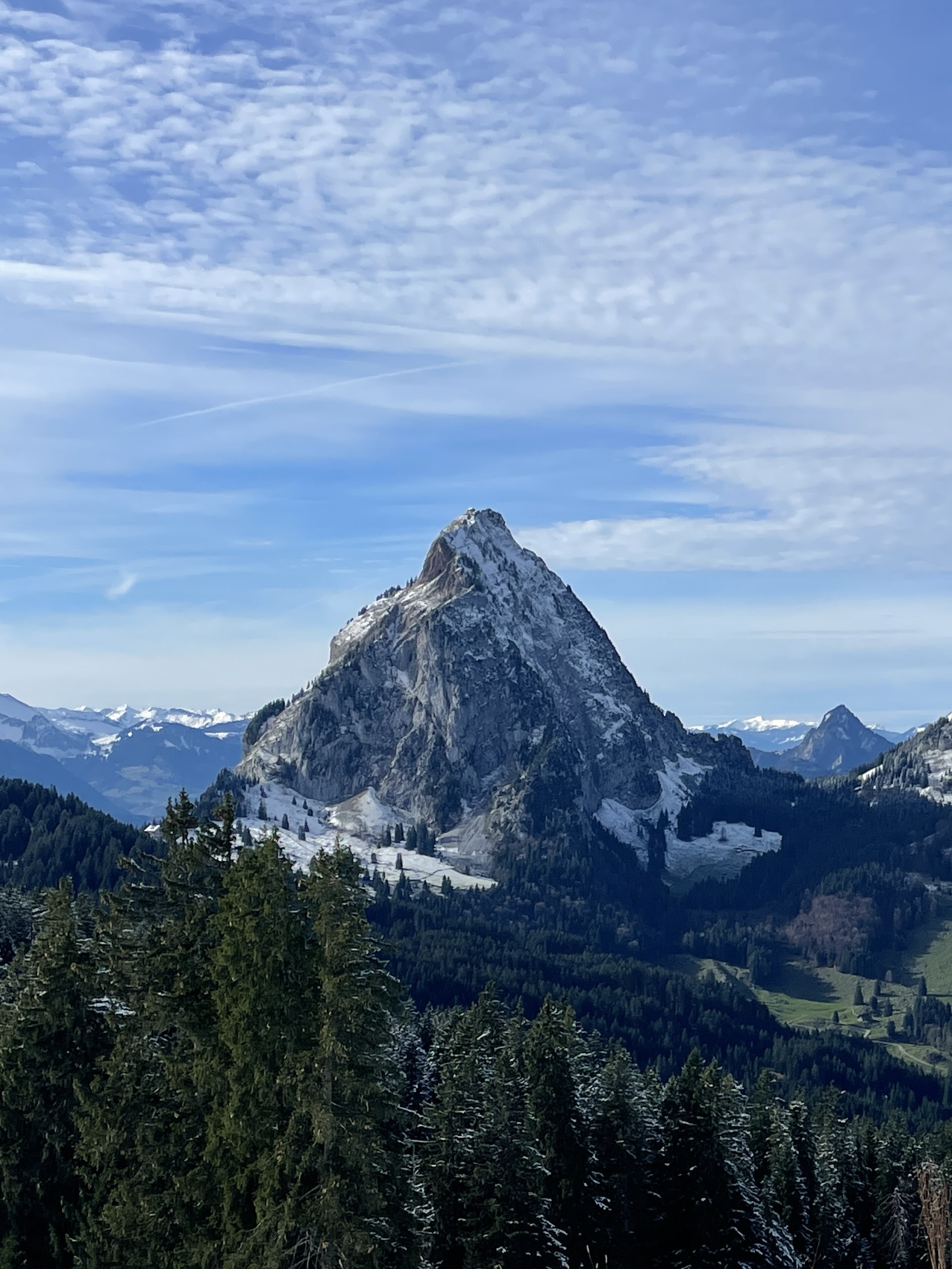
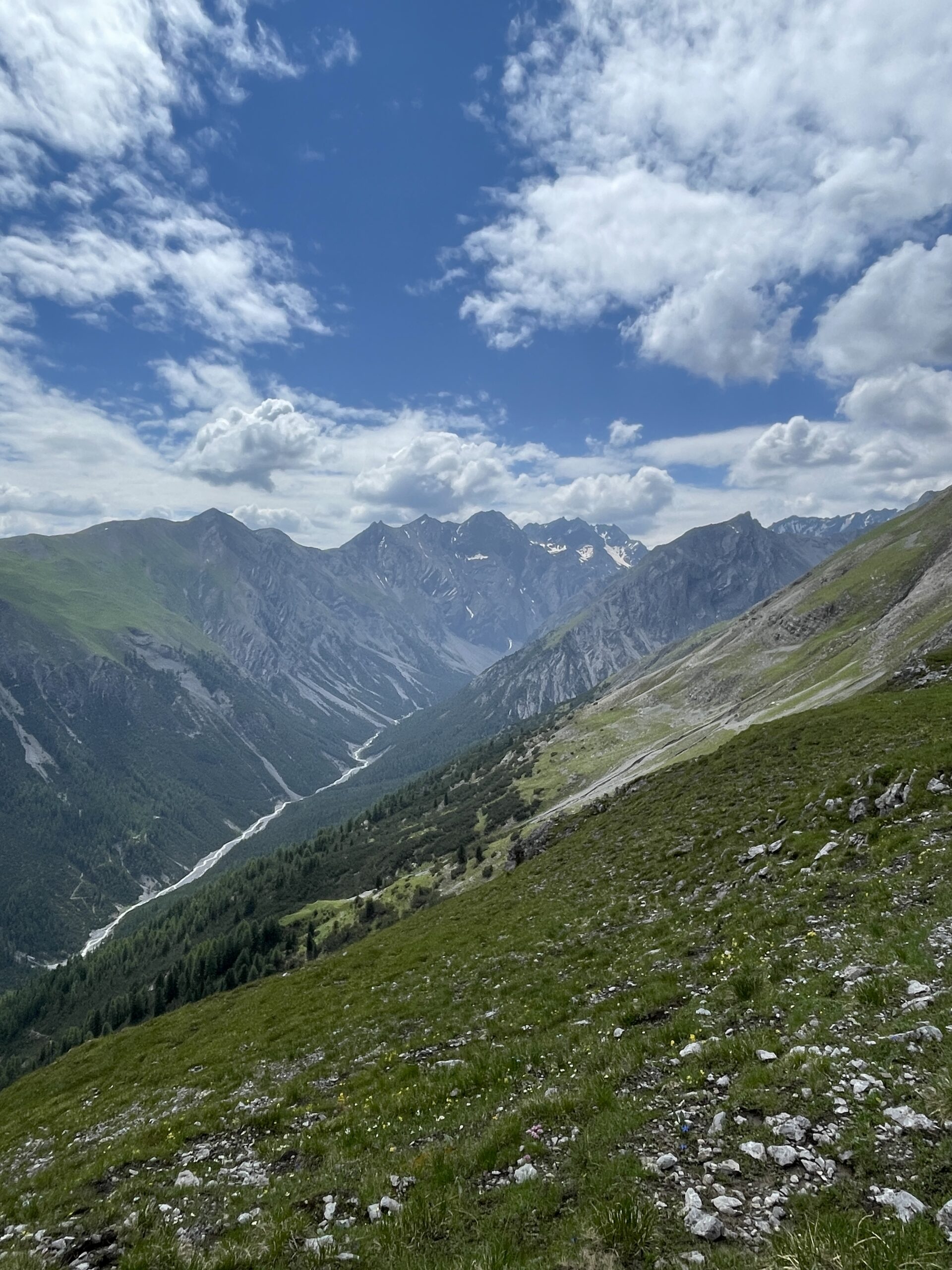
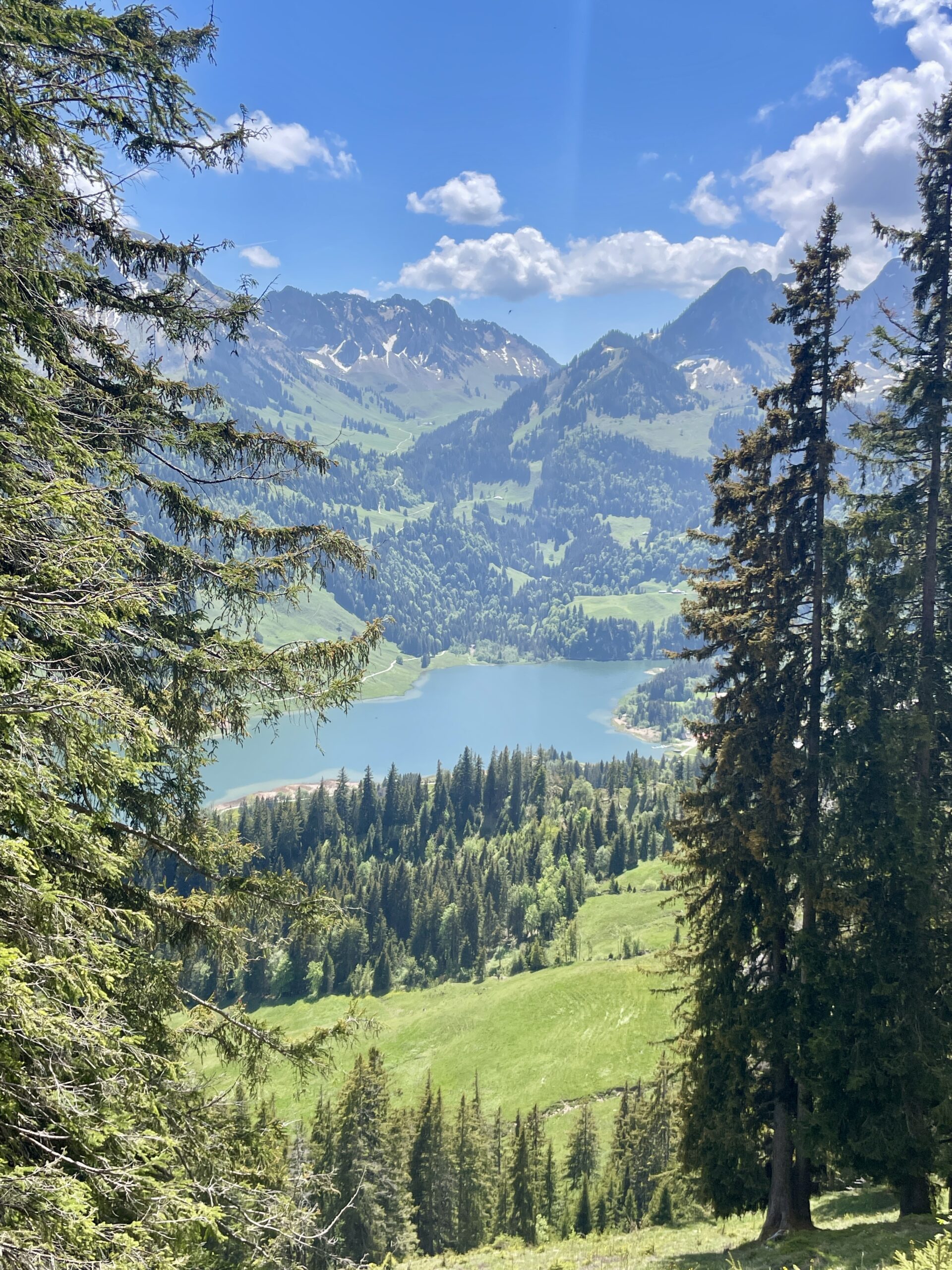
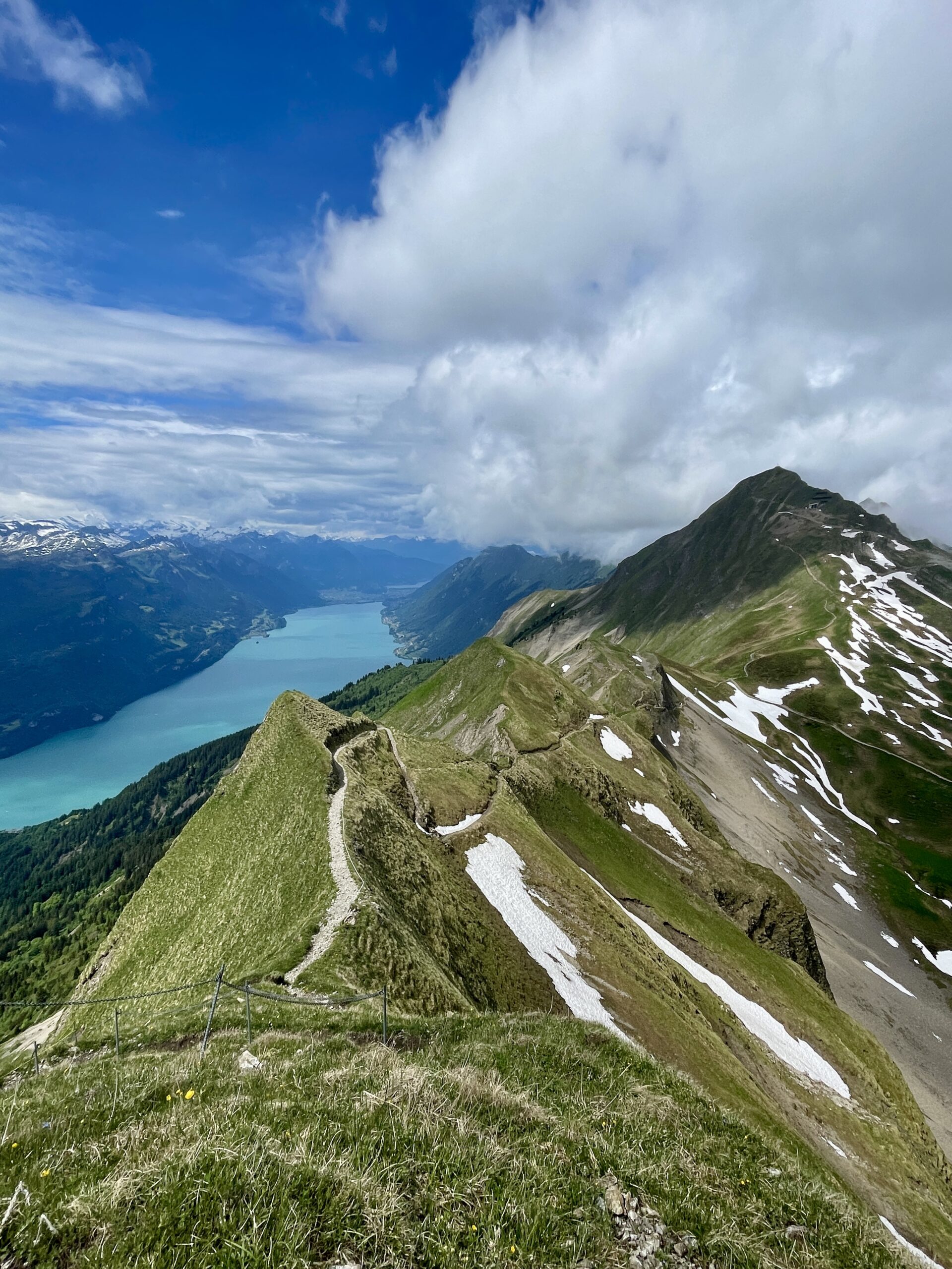
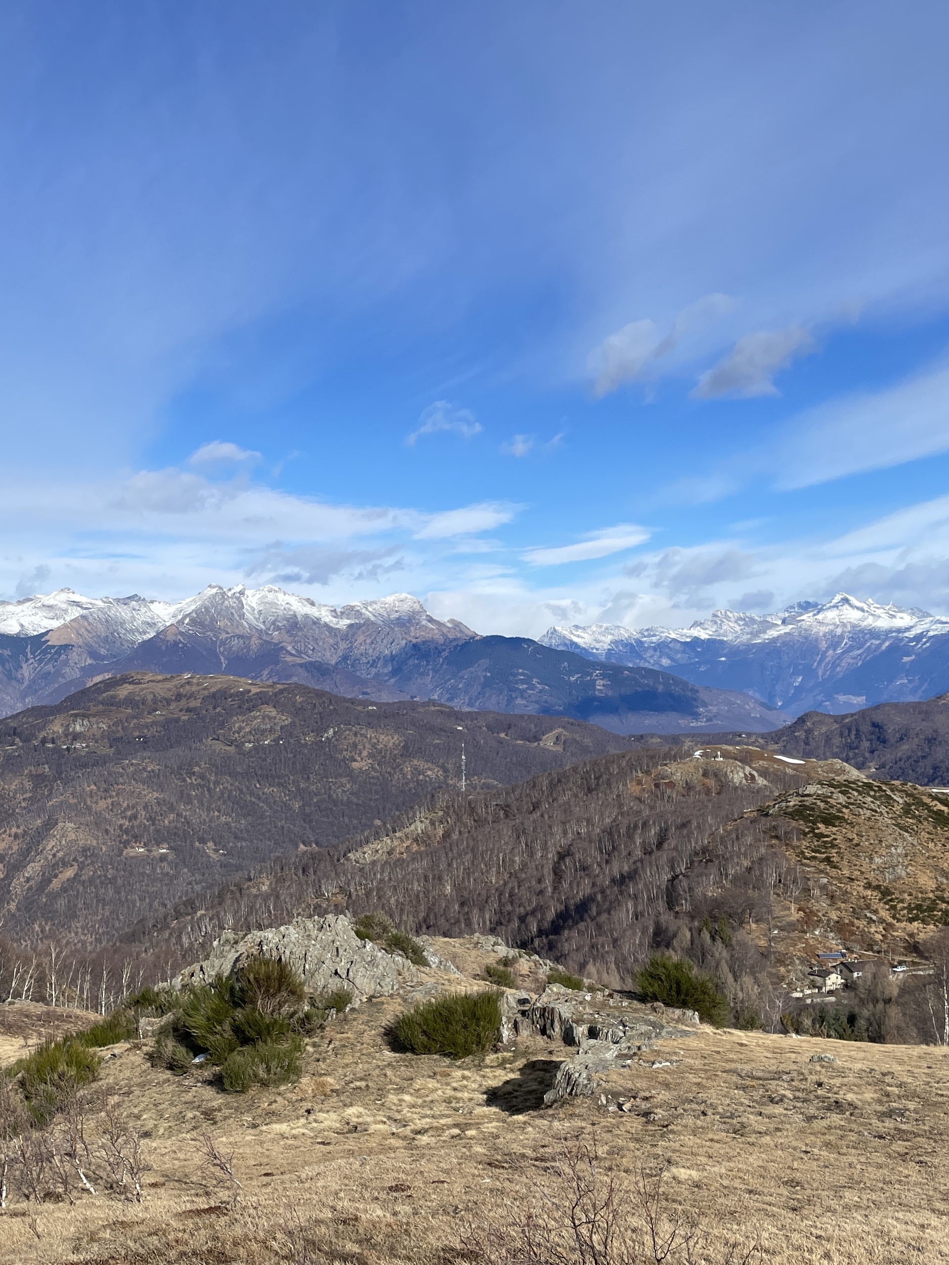
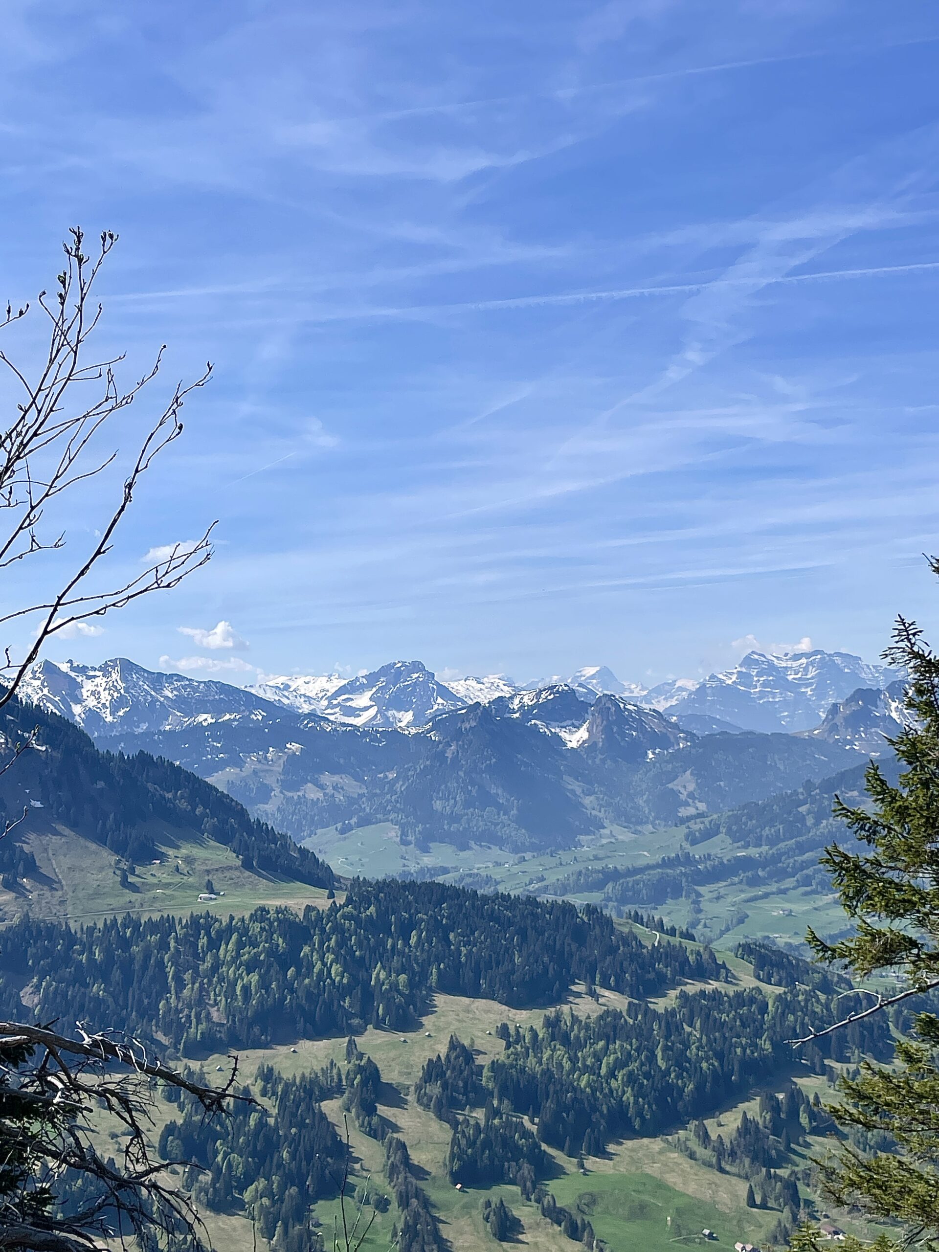
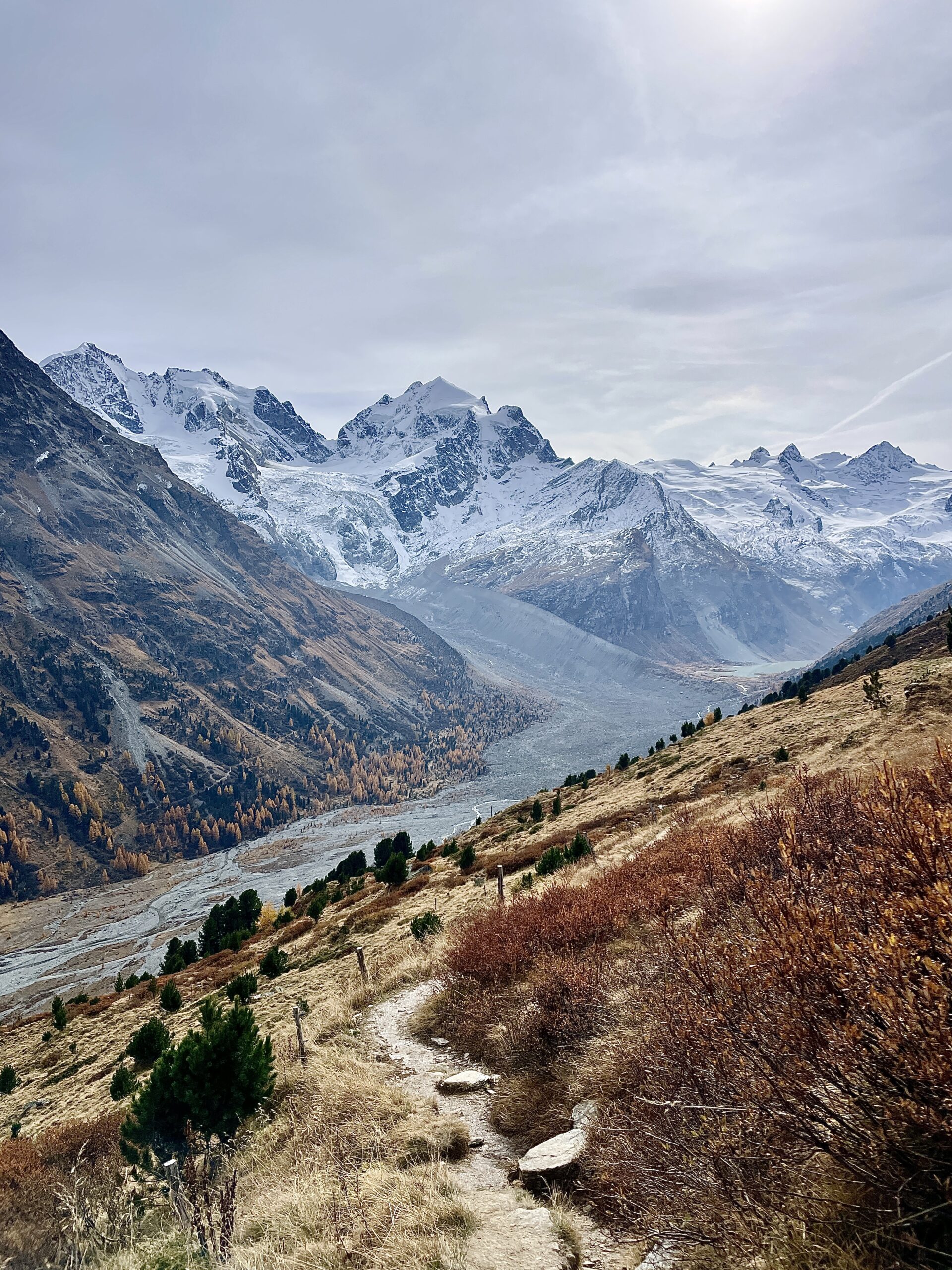
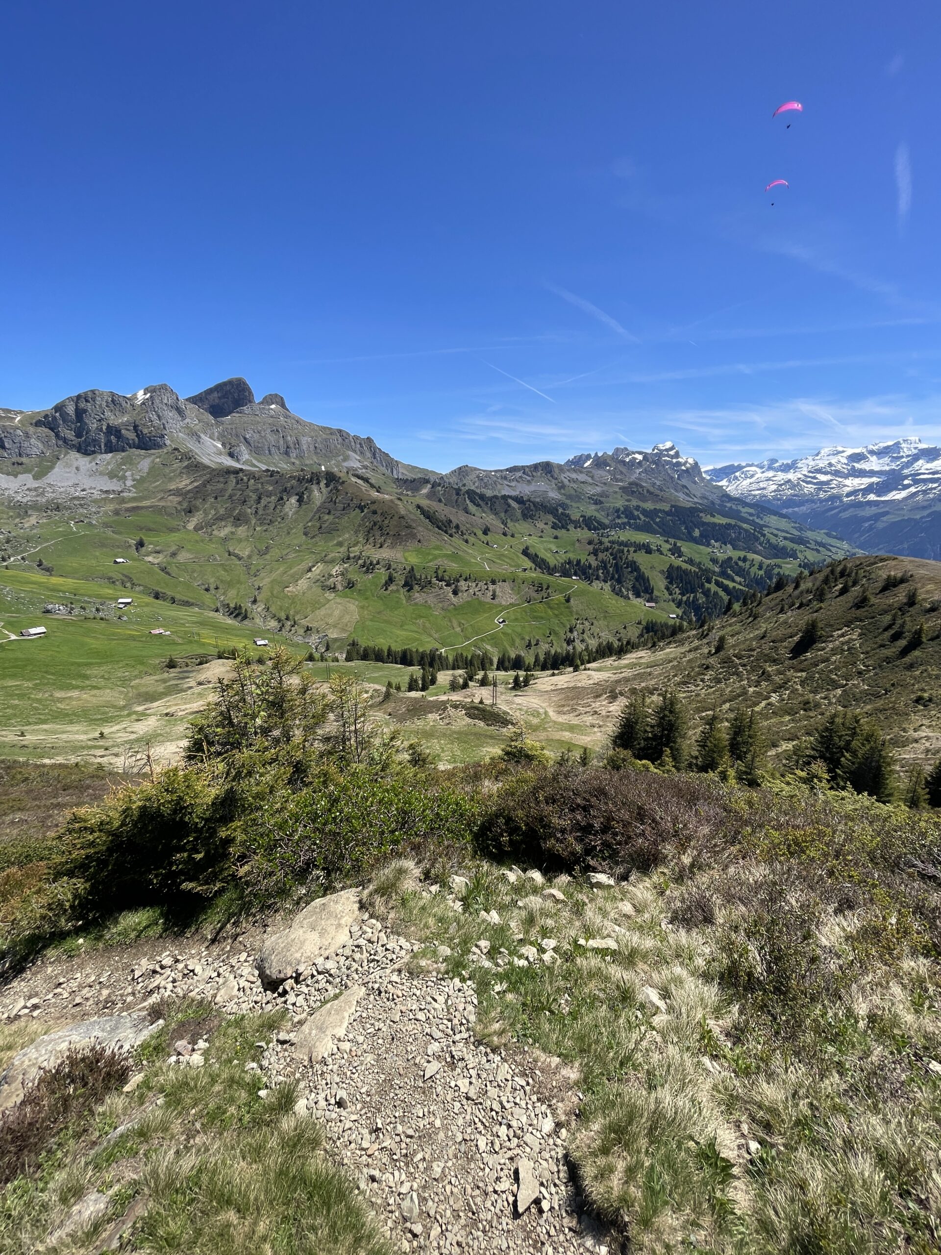
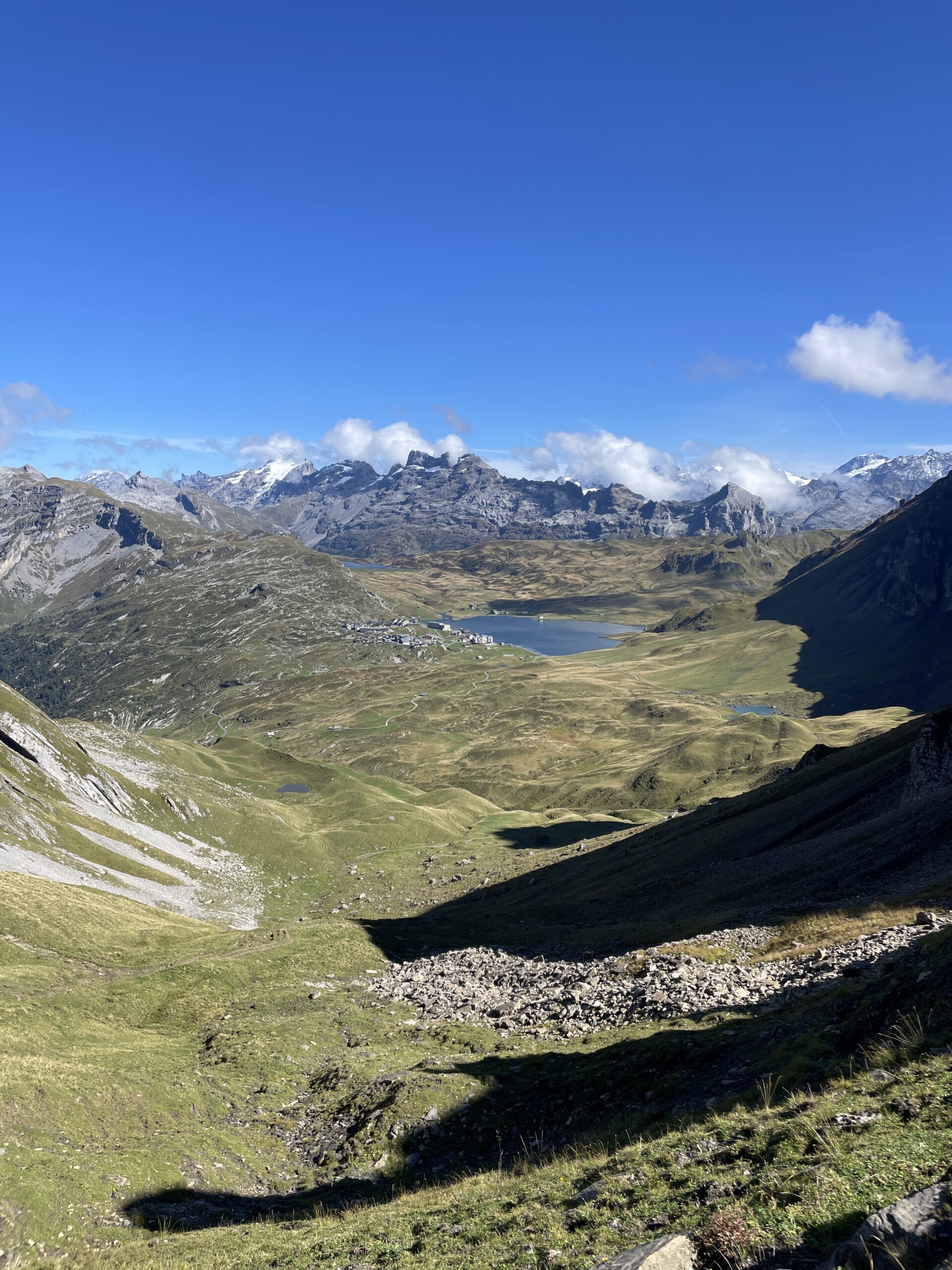
Hikes below all include parts with panoramic views. For many of the hikes, it is possible to take cable cars or trains to the parts with panoramic views.
Hikes are listed according to length, and can easily be modified into shorter or longer versions, with more or less elevation gain.
8.9 km, 975 m ↑, 368 m ↓
9 km, 1008 m ↑, 179 m ↓
9.2 km, 698 m ↑, 698 m ↓
11.4 km, 465 m ↑, 544 m ↓
13.4 km, 1003 m ↑, 1003 m ↓
13.7 km, 1056 m ↑, 1056 m ↓
13.8 km, 1395 m ↑, 113 m ↓
13.9km, 1022 m ↑, 588 m ↓
14.6 km, 1304 m ↑, 762 m ↓
14.8 km, 741 m ↑, 741 m ↓
15 km, 1107 m ↑, 846 m ↓
15.1 km, 1737 m ↑, 400 m ↓
15.4 km, 1476 m ↑, 480 m ↓
15.7 km, 1102 m ↑, 1102 m ↓
15.8 km, 1956 m ↑, 321 m ↓
16.3 km, 1434 m ↑, 564 m ↓
16.8 km, 1390 m ↑, 1390 m ↓
16.9 km, 983 m ↑, 960 m ↓
17.2 km, 1183 m ↑, 1183 m ↓
17.3 km, 844 m ↑, 788 m ↓
17.4 km, 1612 m ↑, 1150 m ↓
17.6 km, 1202 m ↑, 1202 m ↓
17.9 km, 1254 m ↑, 666 m ↓
18 km, 1052 m ↑, 973 m ↓
18.3 km, 1480 m ↑, 73 m ↓
20.2 km, 1292 m ↑, 978 m ↓
20.2 km, 1495 m ↑, 876 m ↓
20.4 km, 1500 m ↑, 782 m ↓
21.2 km, 2010 m ↑, 820 m ↓
22.4 km, 1290 m ↑, 1200 m ↓
22.8 km, 2019 m ↑, 1414 m ↓
23.7 km, 1004 m ↑, 899 m ↓
All content and information provided on myswisstrails.com is for general information and entertainment purpose only, and does not constitute professional advice or recommendations of any kind. You are using all the provided information at your own risk.