
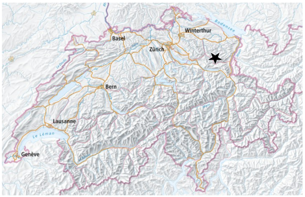
I hiked this hike on the 2nd of May, 2026. I had looked for hiking inspiration on swisstopo, and the area around Ofenloch (the Grand Canyon of Eastern Switzerland), looked interesting, so I decided to go for a hike here.
While most of this hike is on easy hiking paths, the area around Ofenloch does have some more narrow paths with steep sides, and a few places with ropes to hold on to.
Full route: Swisstopo
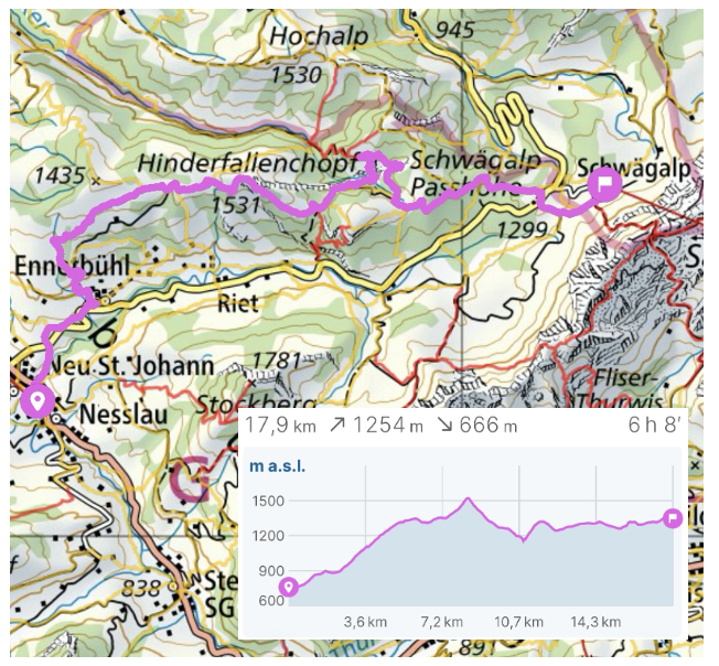
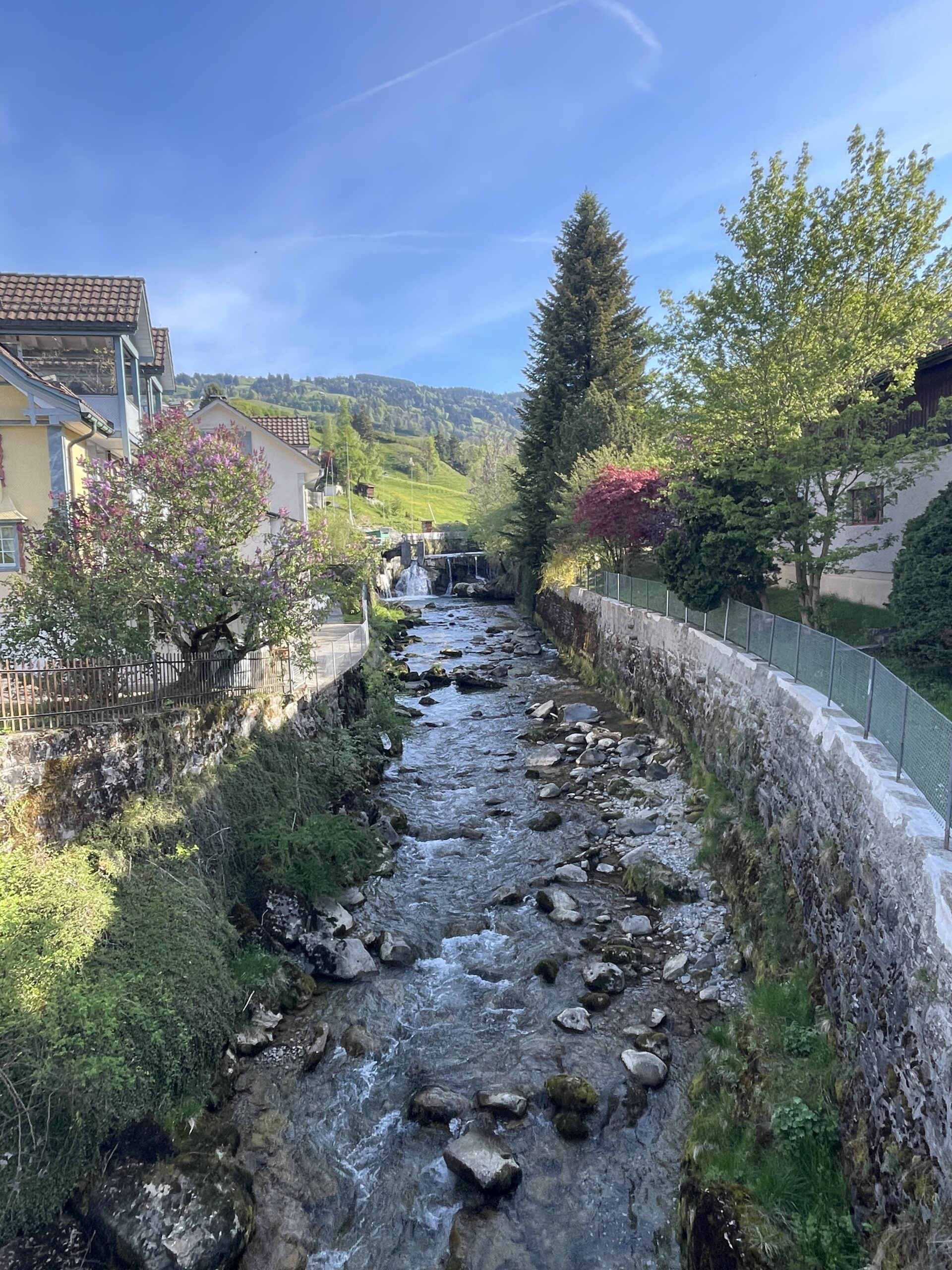
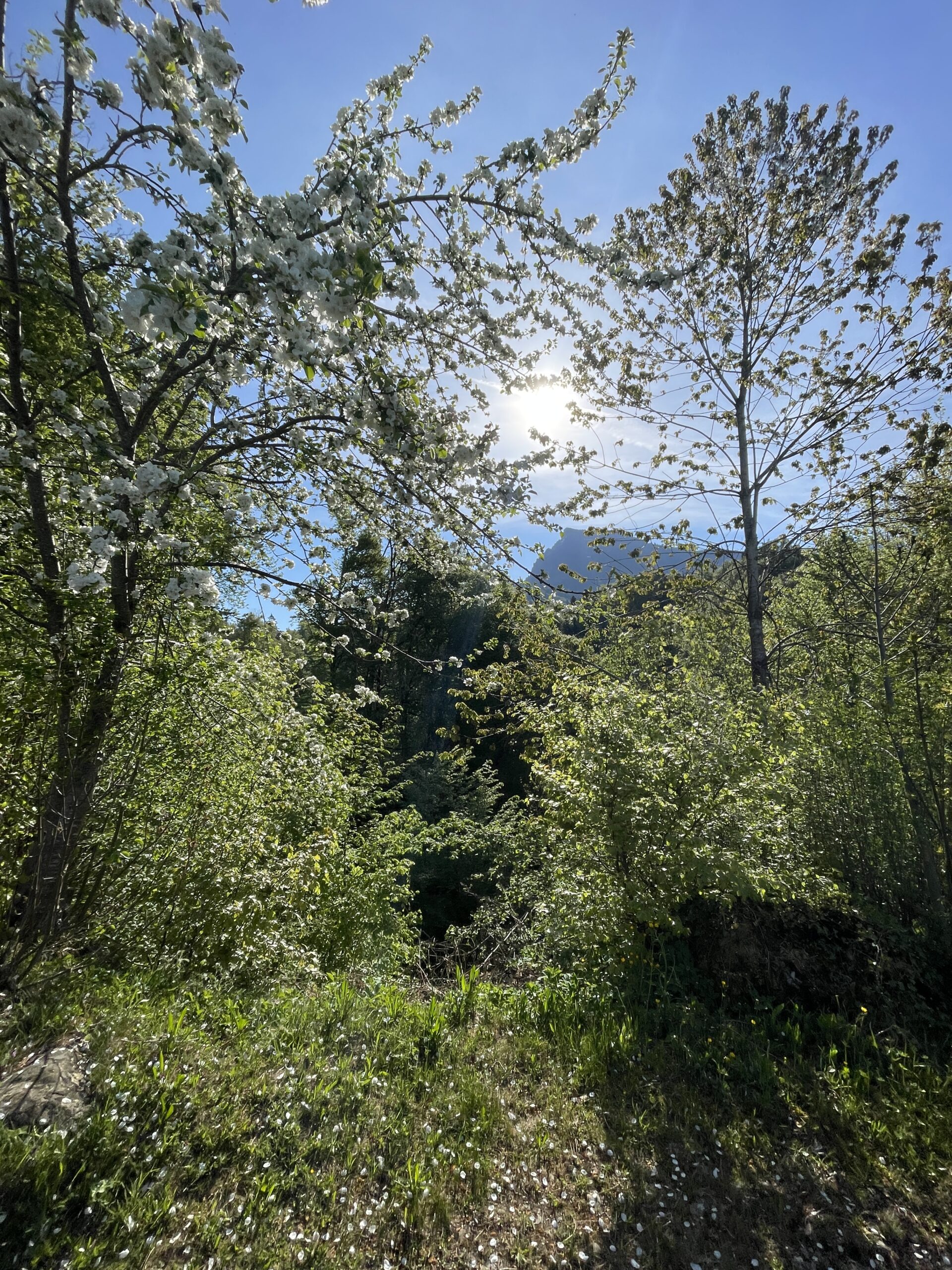
I started the hike in Neslau, which I reached after a train journey from Zürich to Rapperswill, where I changed to a train to Wätwill and finally a train to Neslau. It was a very nice and warm May day, and the cherry trees were still in full bloom in this area.
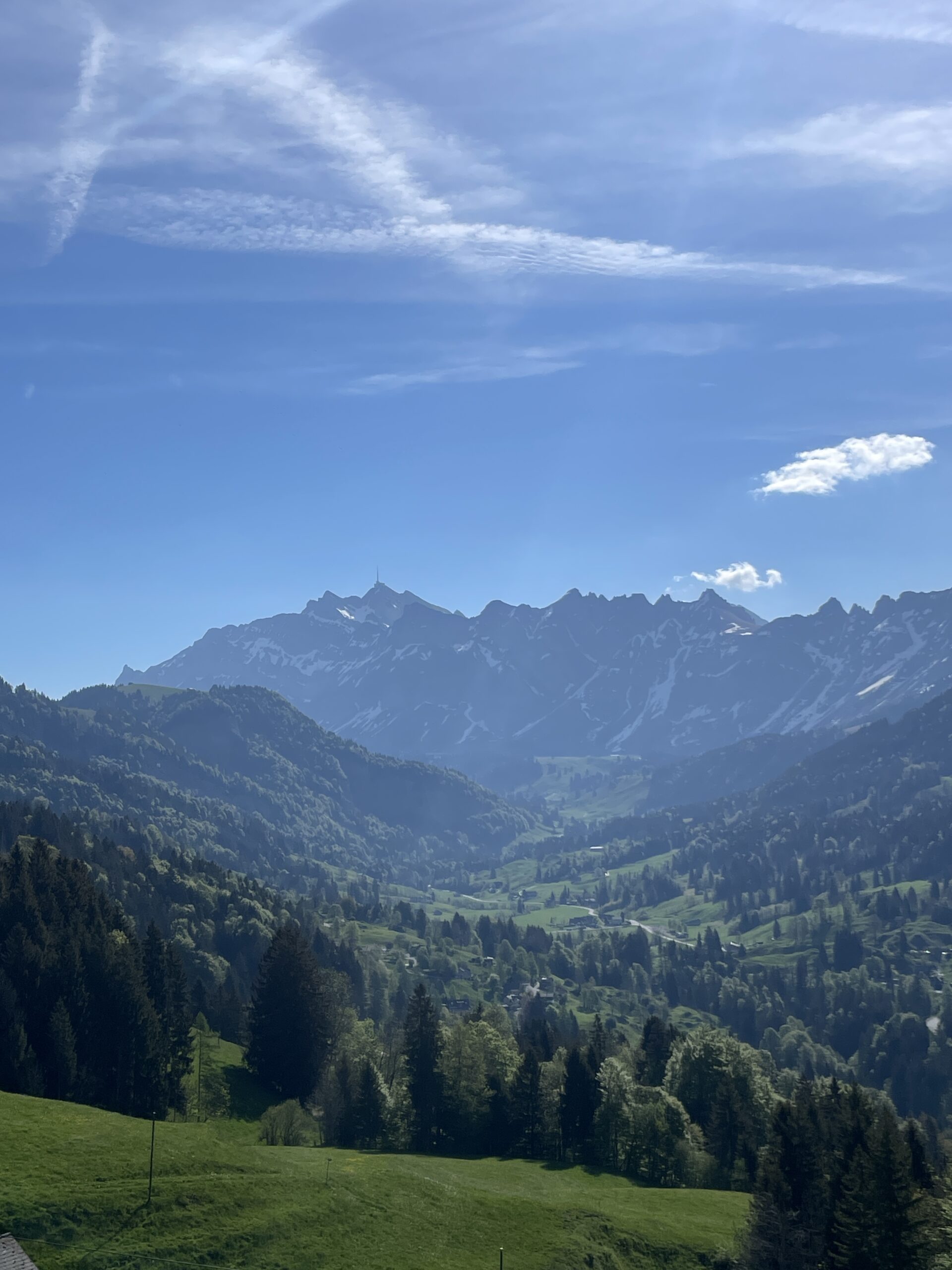
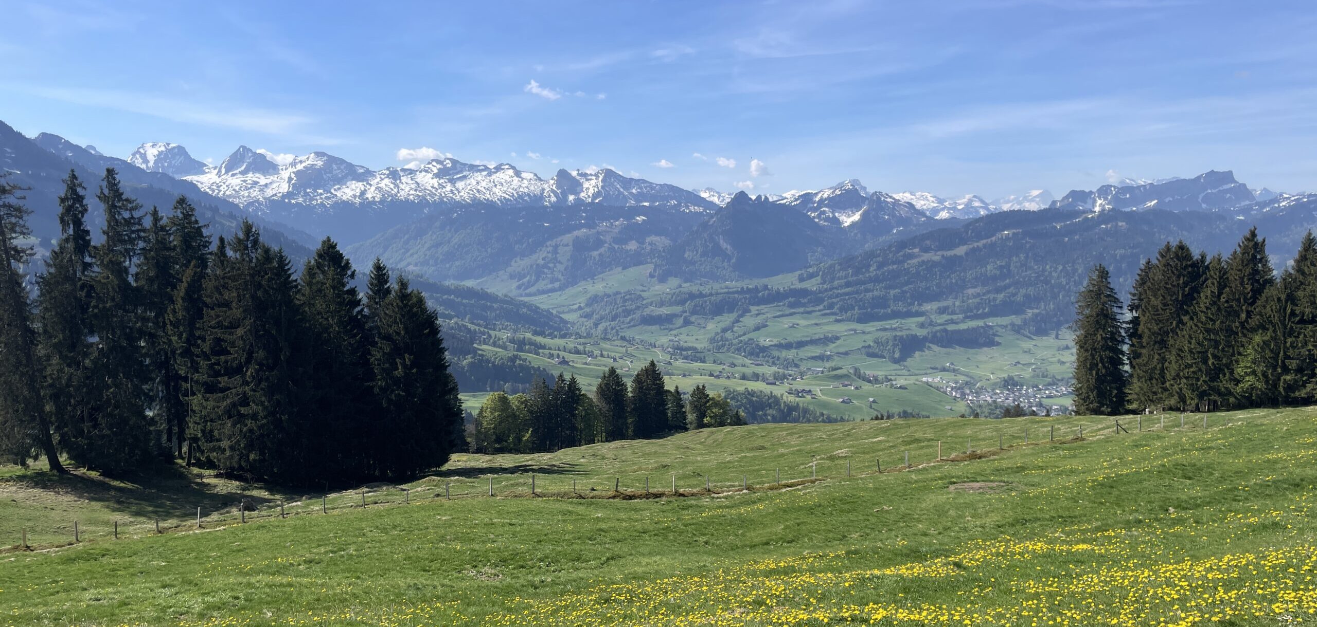
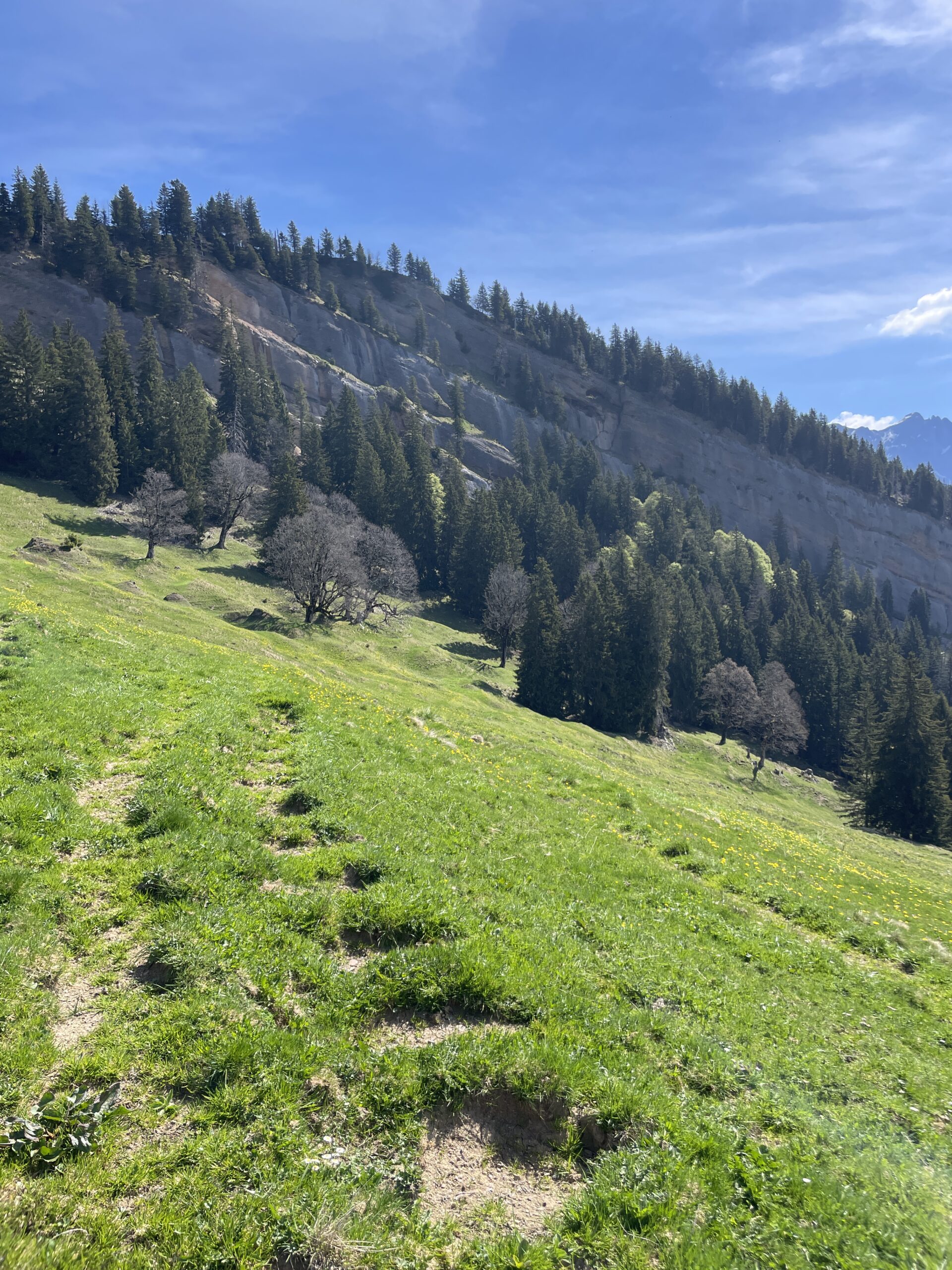
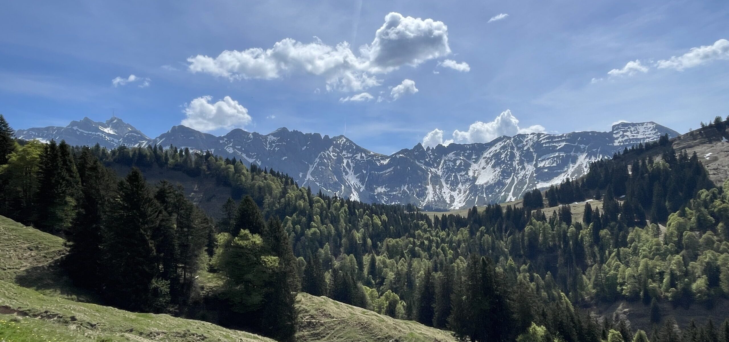
After a short flat part out of Neslau, you start the initial ascent, which quickly takes you up to beautiful views towards Churfirsten and in direction Säntis. The whole part from Neslau to Ofenloch has really nice panoramic views, with only minor parts through forest.
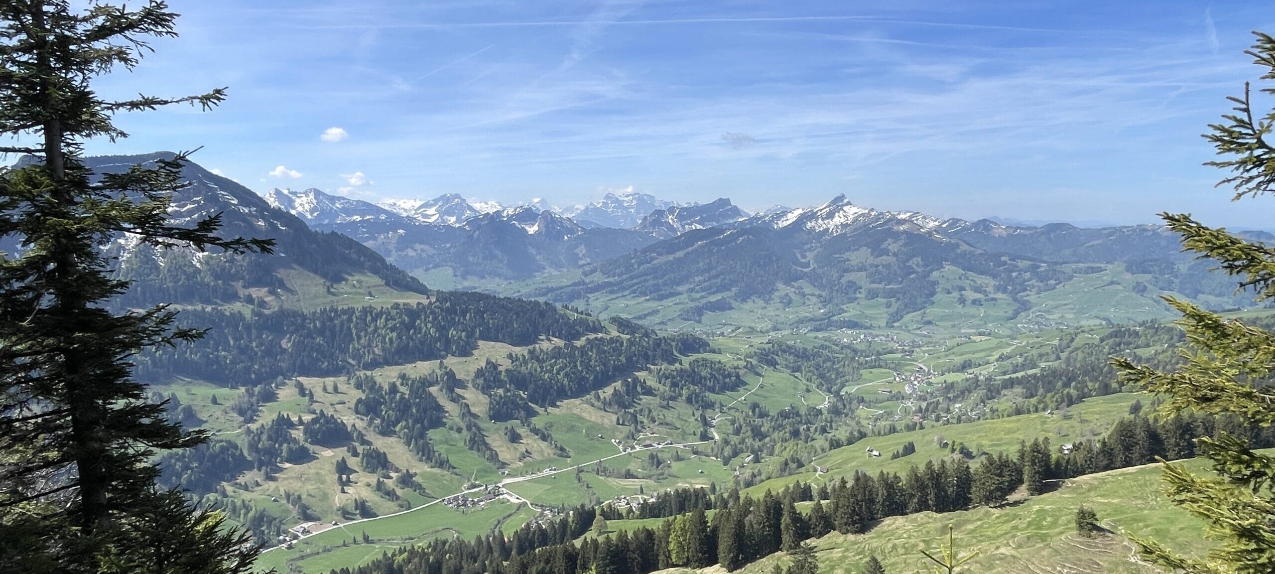
After a bit more than an hour, I got the first glimpse of Neslau down in the valley, where I had started the hike. It was a very nice and clear day, and in the background, behind Churfirsten, I also had views to some of the peaks in Glarus.
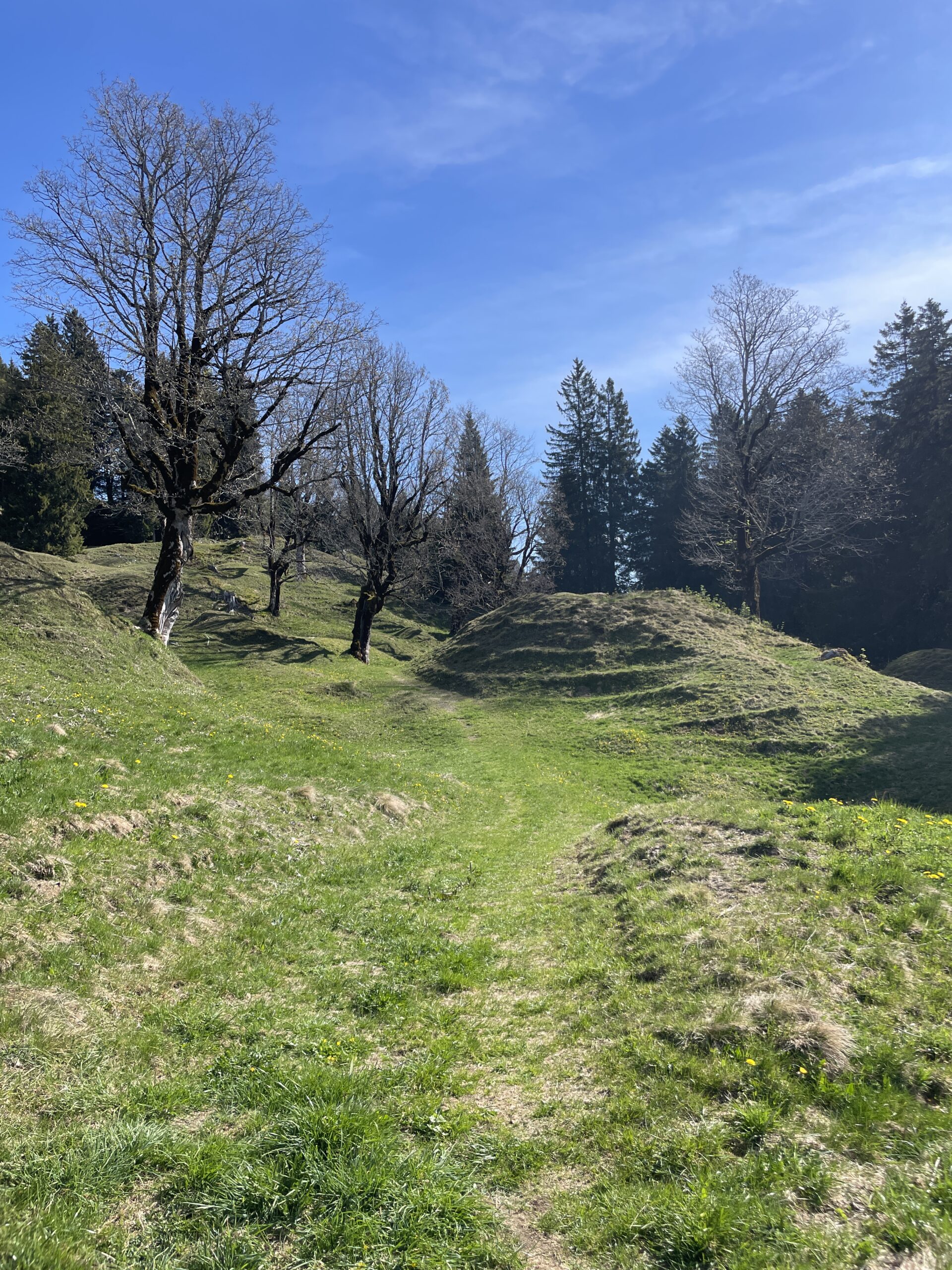
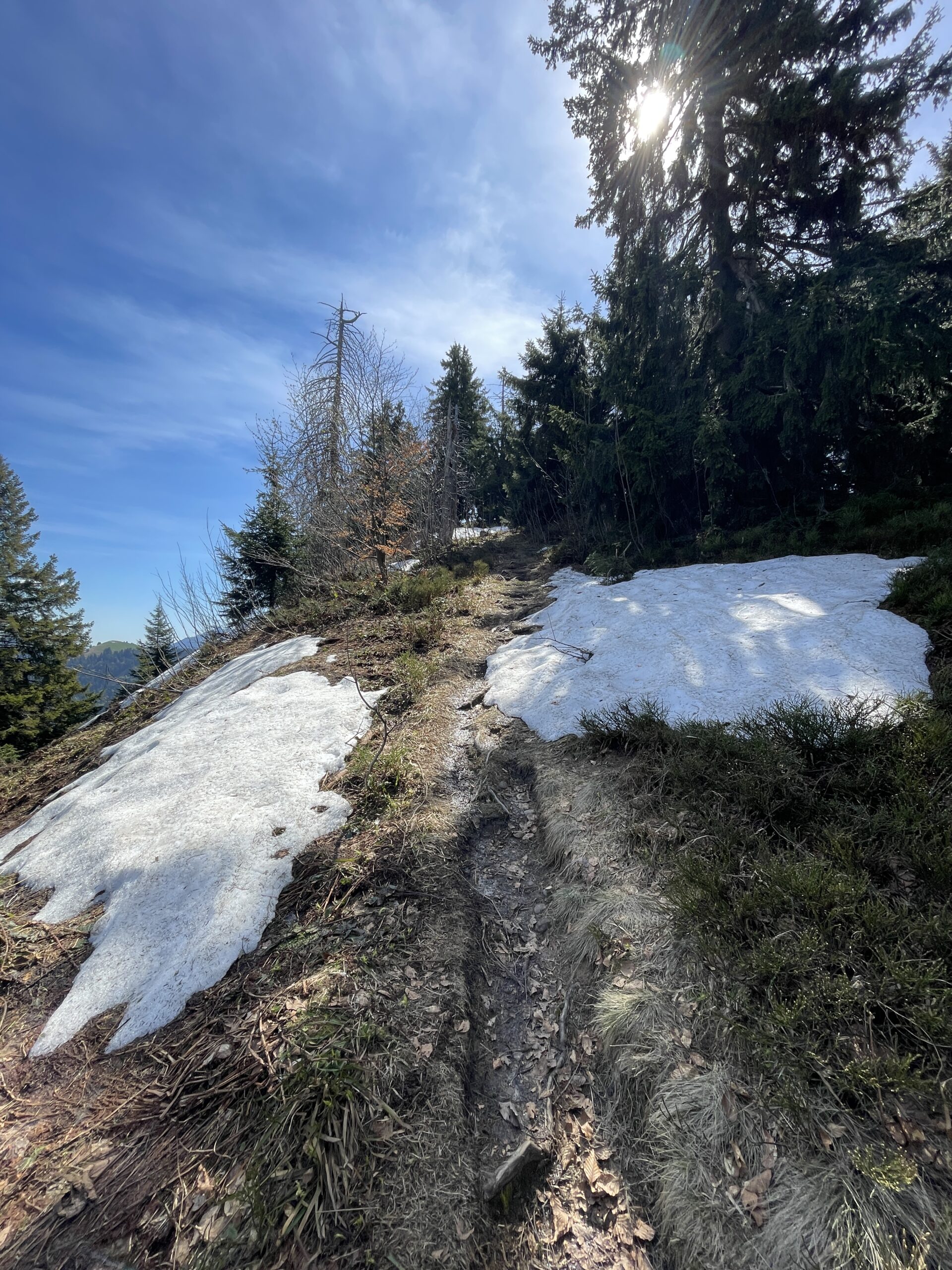
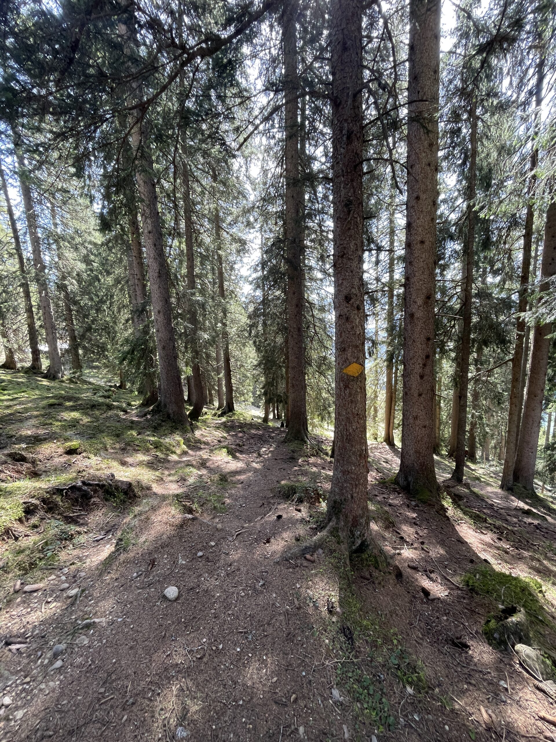
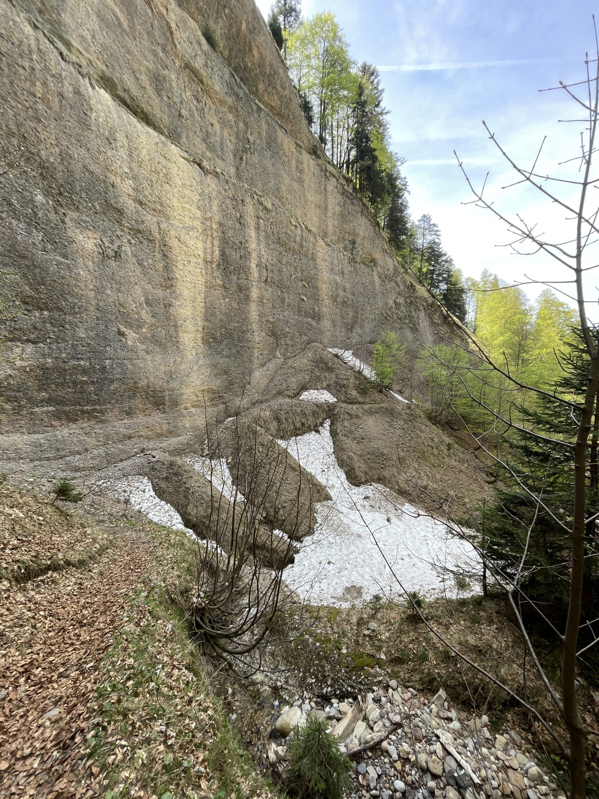
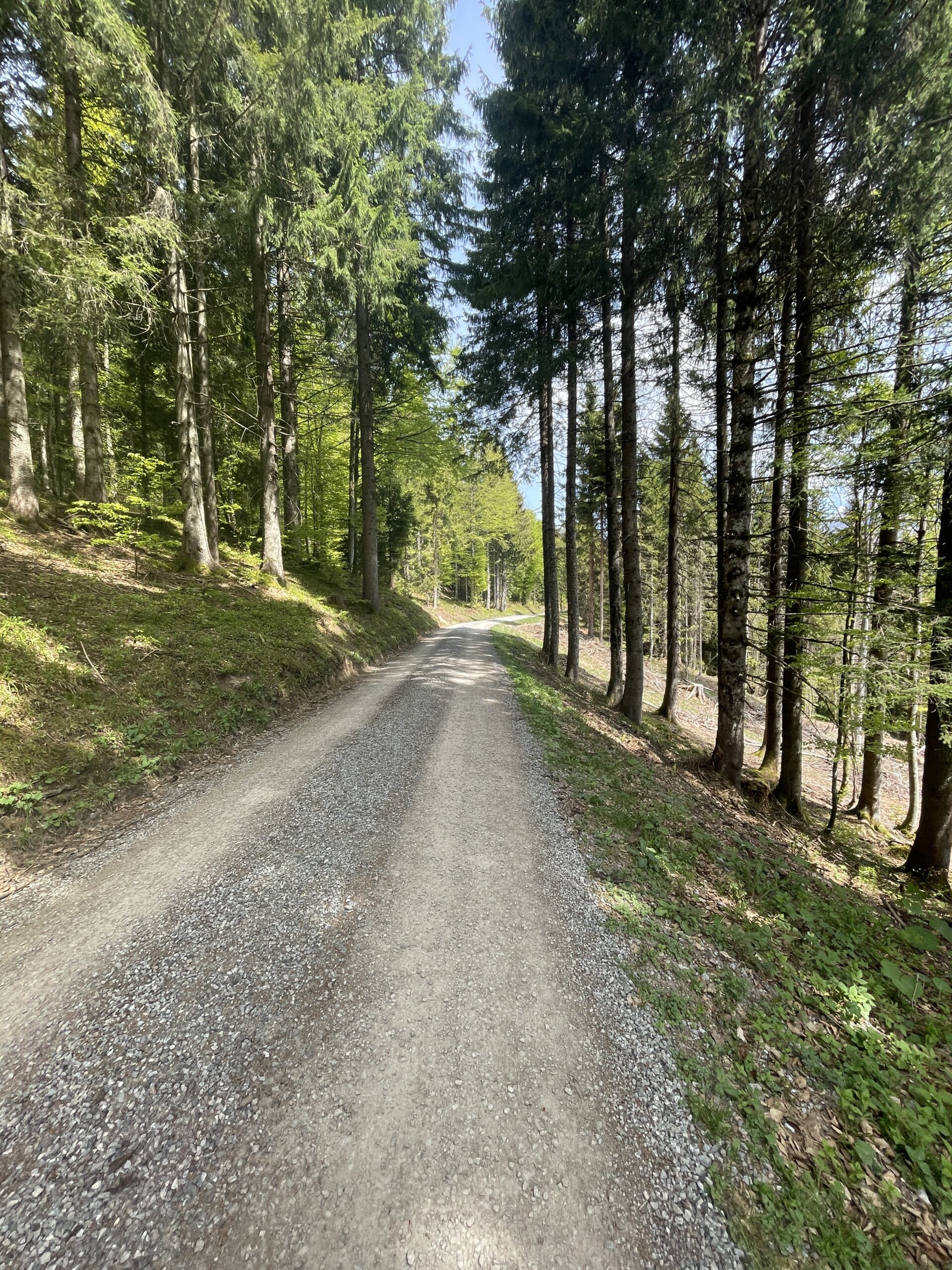
In general, the hiking path all the way to Ofenloch is easy and mainly on wider gravel road or relatively wide grassy parts through the forest or corssing meadows. The last part, up to the top at Hinderfallenchopf, is steep but not too long. There was still some snow patches up here, but nowhere did it make the ascent problematic.
At the top point of the hike, I had a long break to enjoy the surrounding views. I find it really nice, when you from up high can see your starting point of a hike, and the whole distance you have covered.
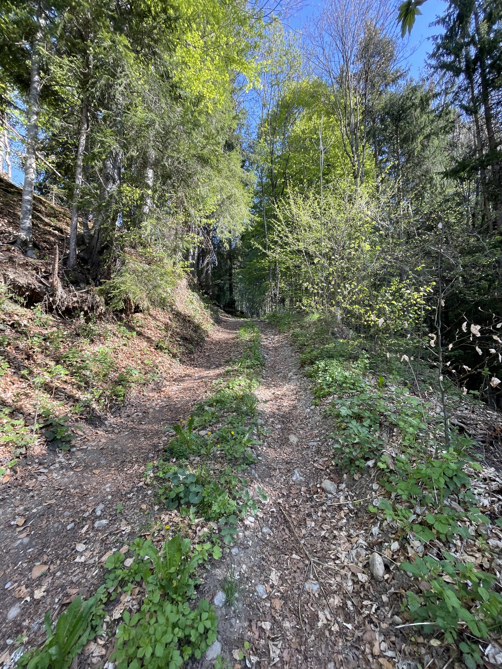
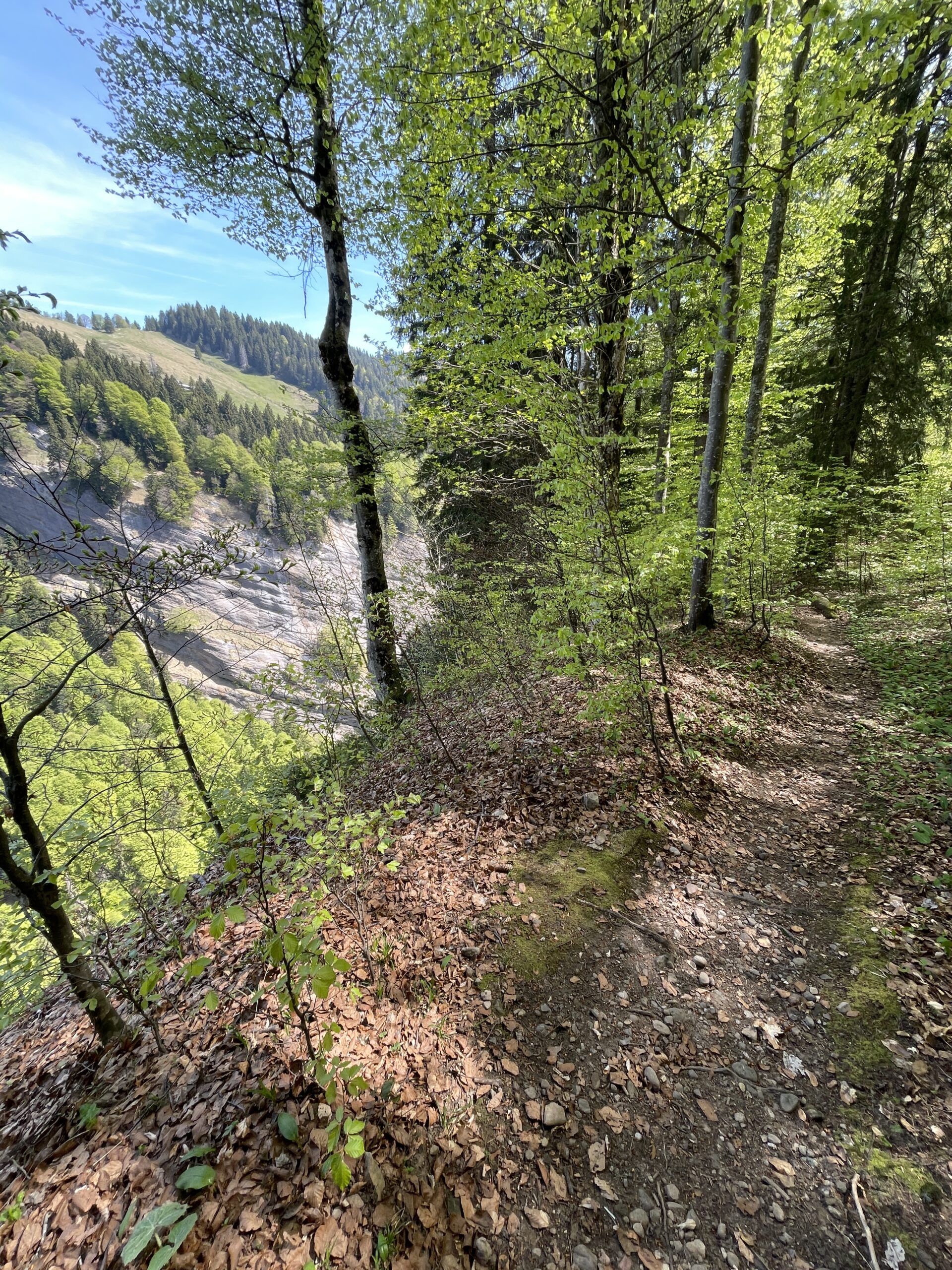
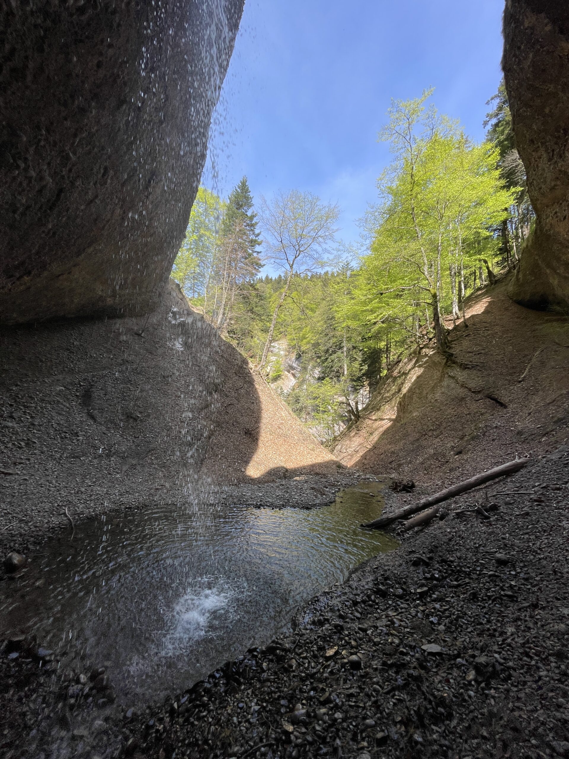
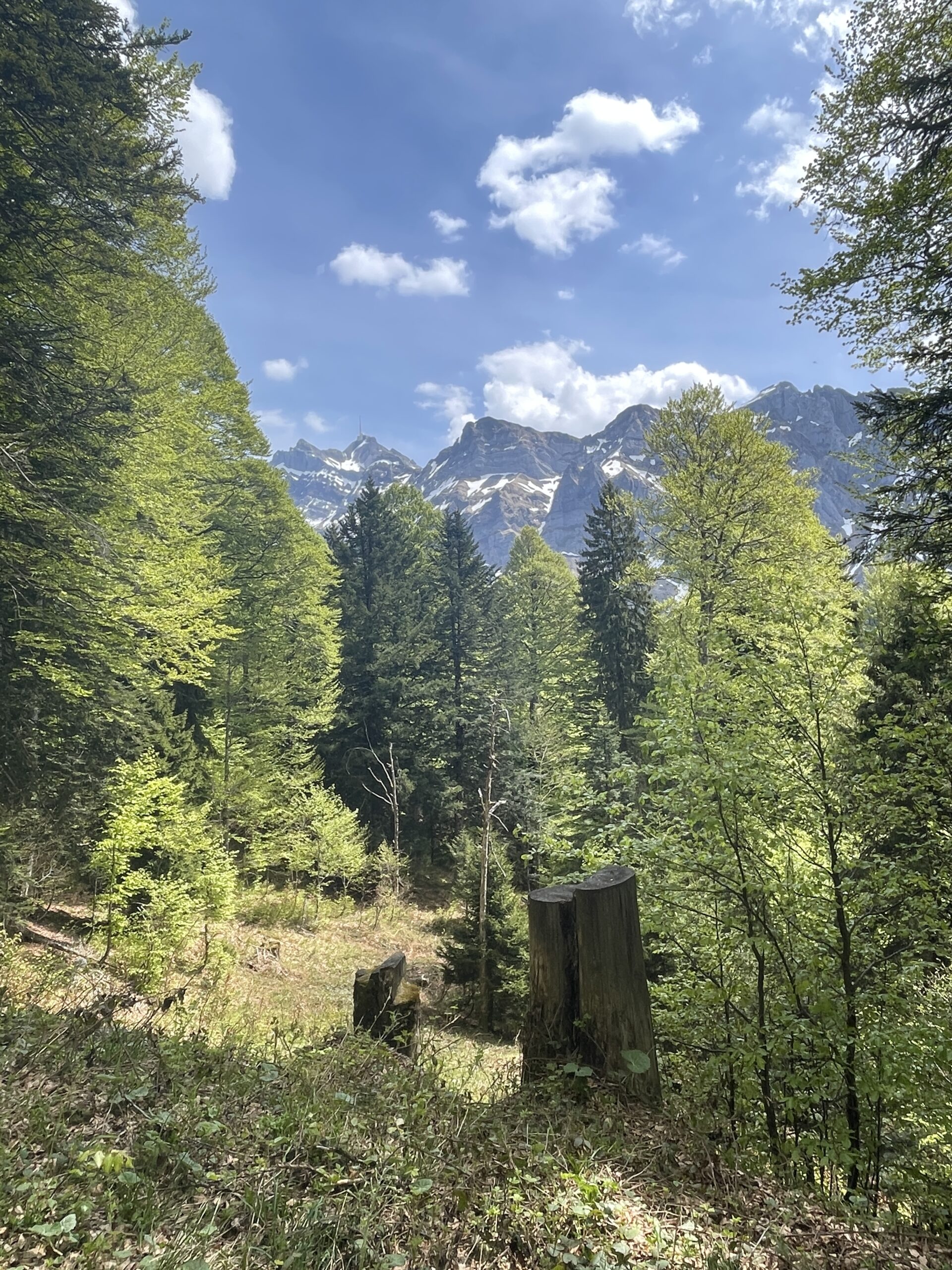
After my break, I started the descent towards Ofenloch. The first part was through some forest and more open areas, until I reached the hiking path down to Ofenloch. This part of the trail is more narrow, and with a steep side down. The hike down to Ofenloch from the gravel road took about 20 minutes.
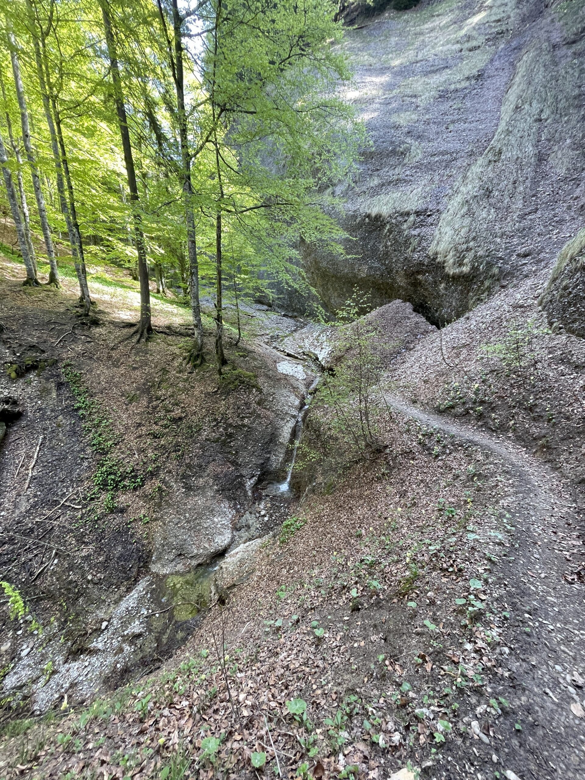
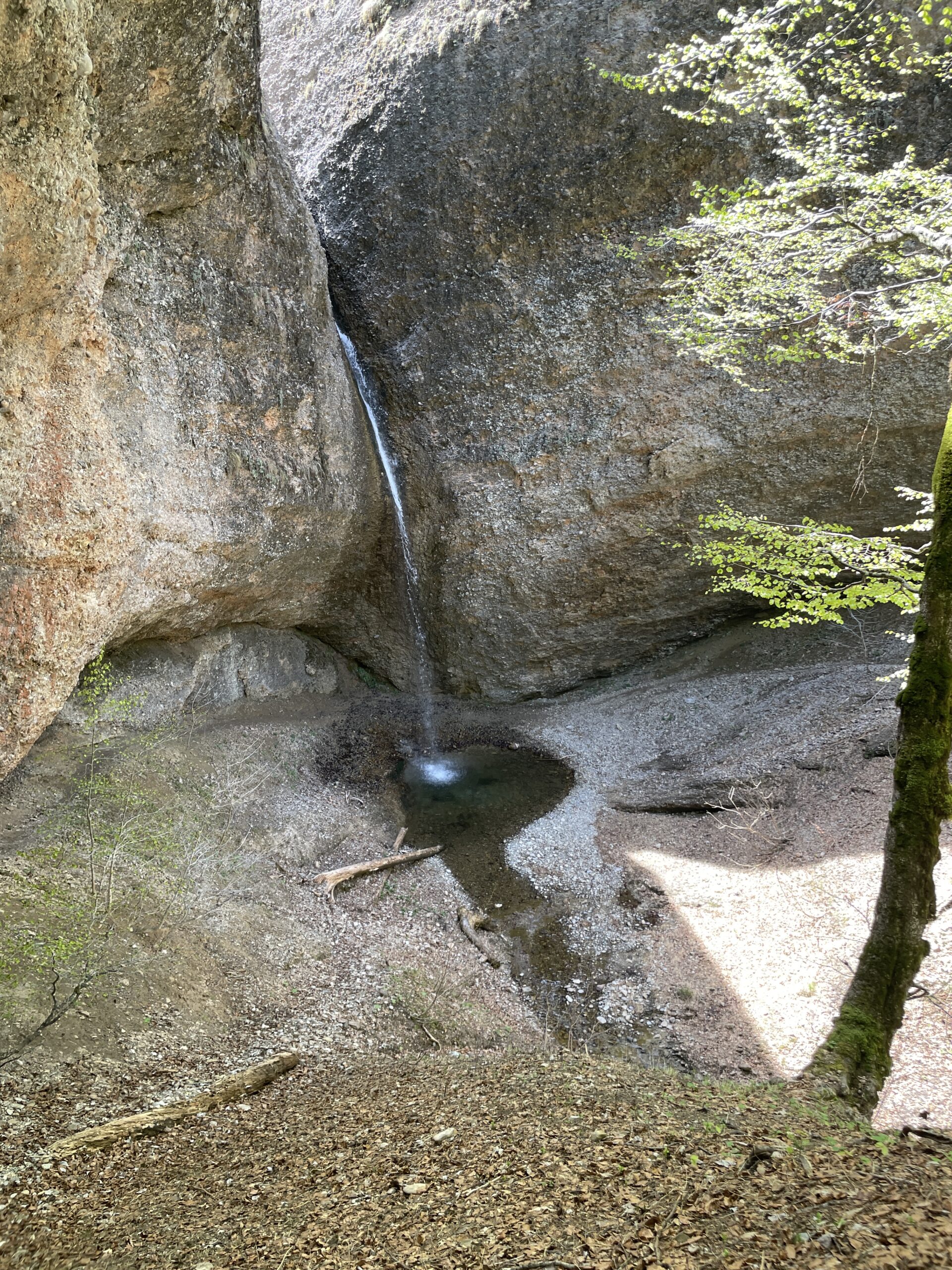
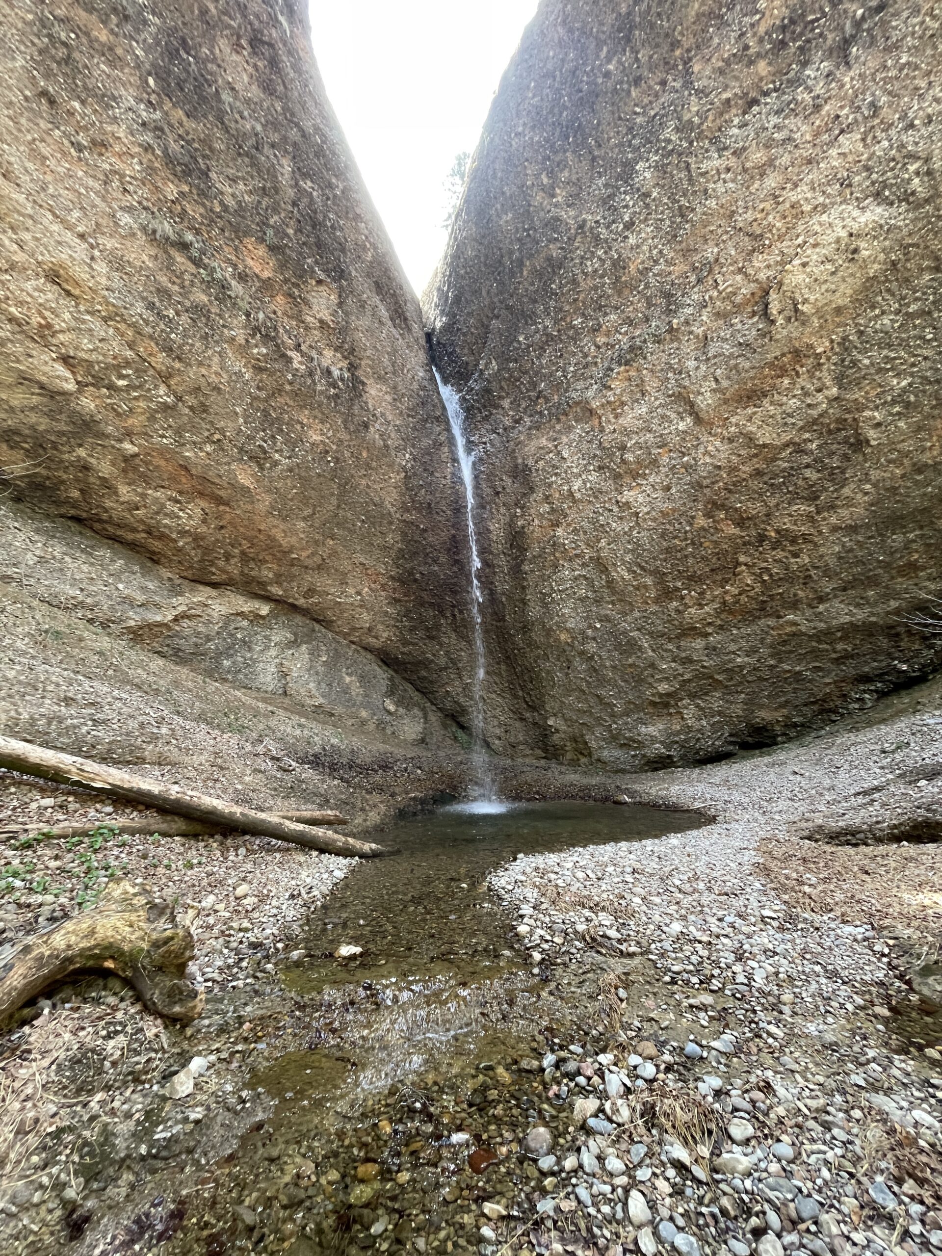
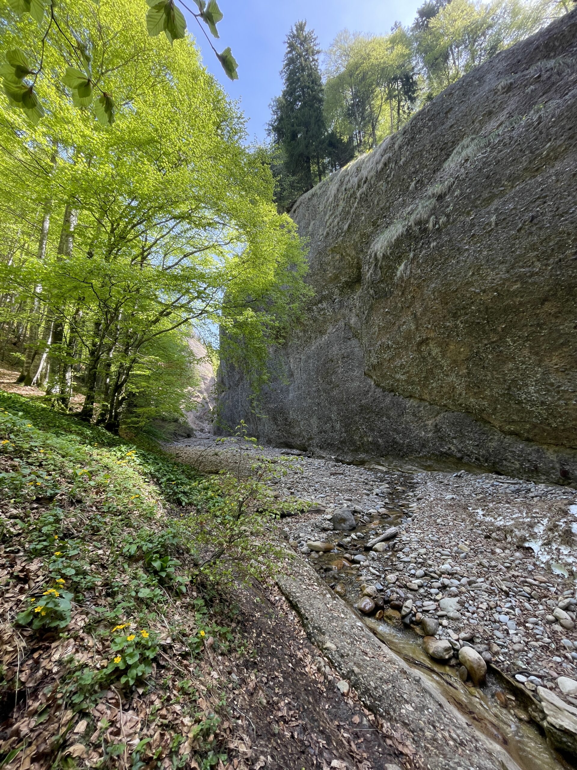
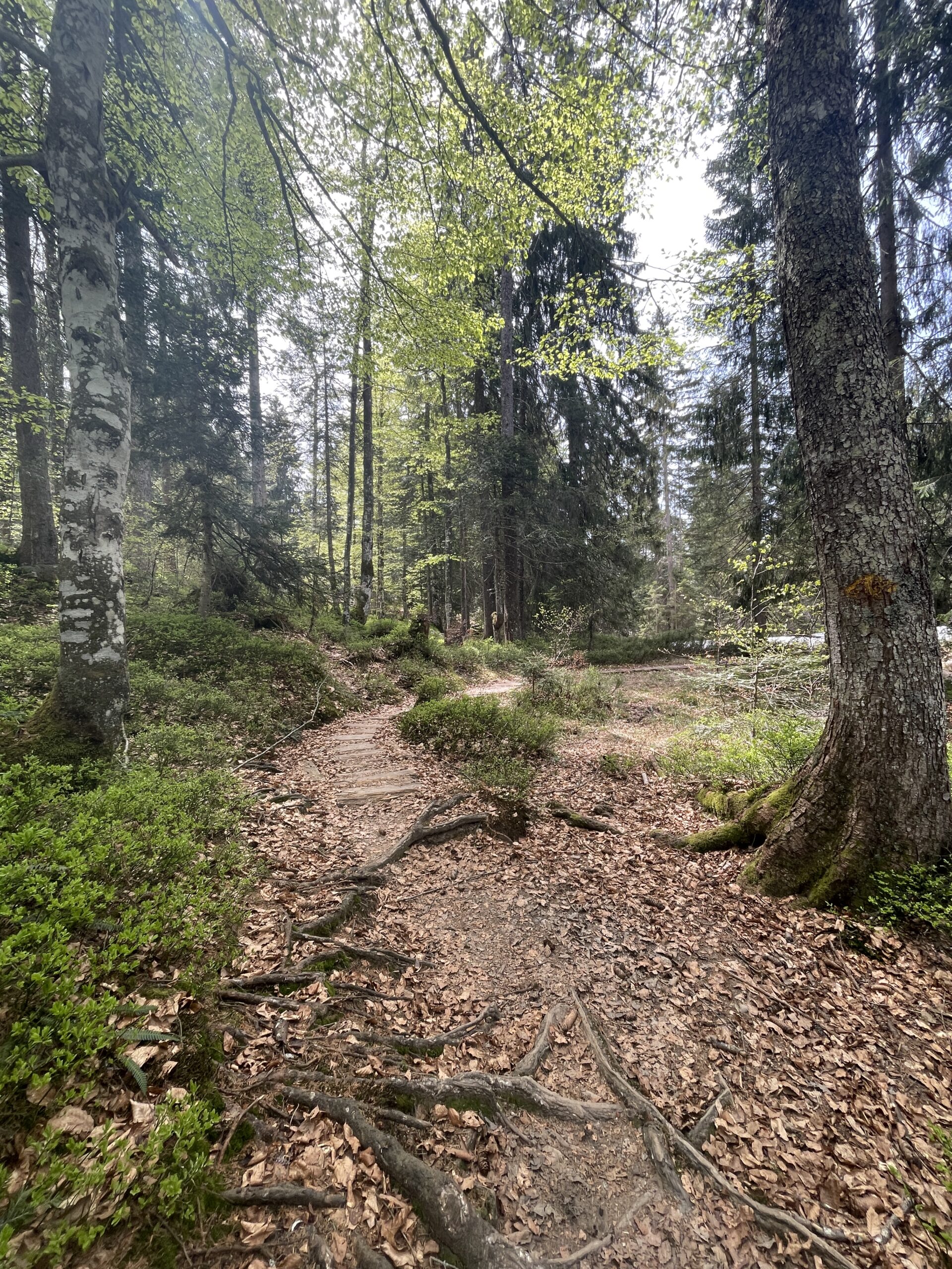
I was completely alone down here, and could enjoy the small waterfall. There is not a lot of space to move around, so after a short break and pictures, I continued through the gorge. The trail goes up and down for some time, before you start the ascent up out of the gorge.
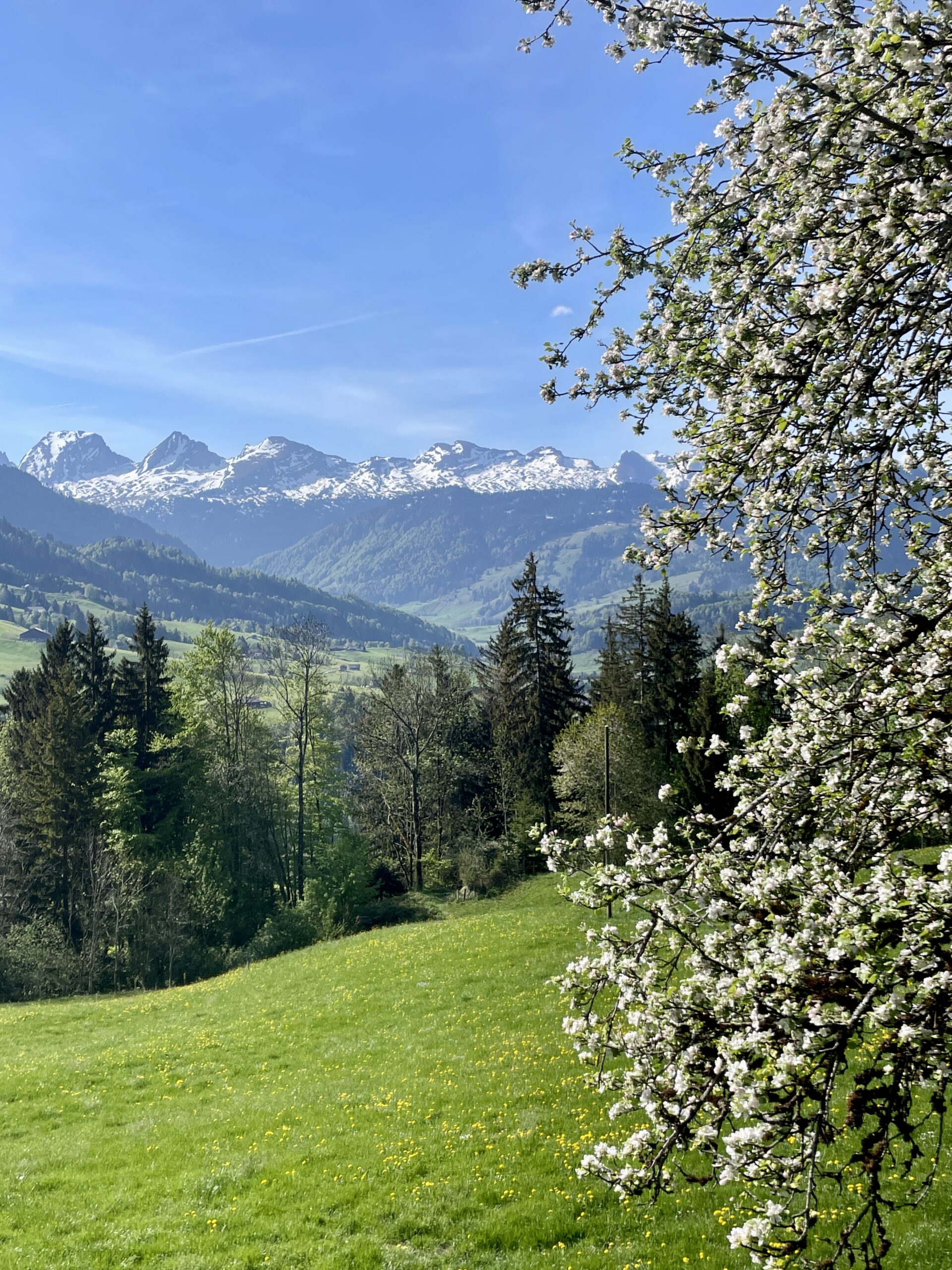
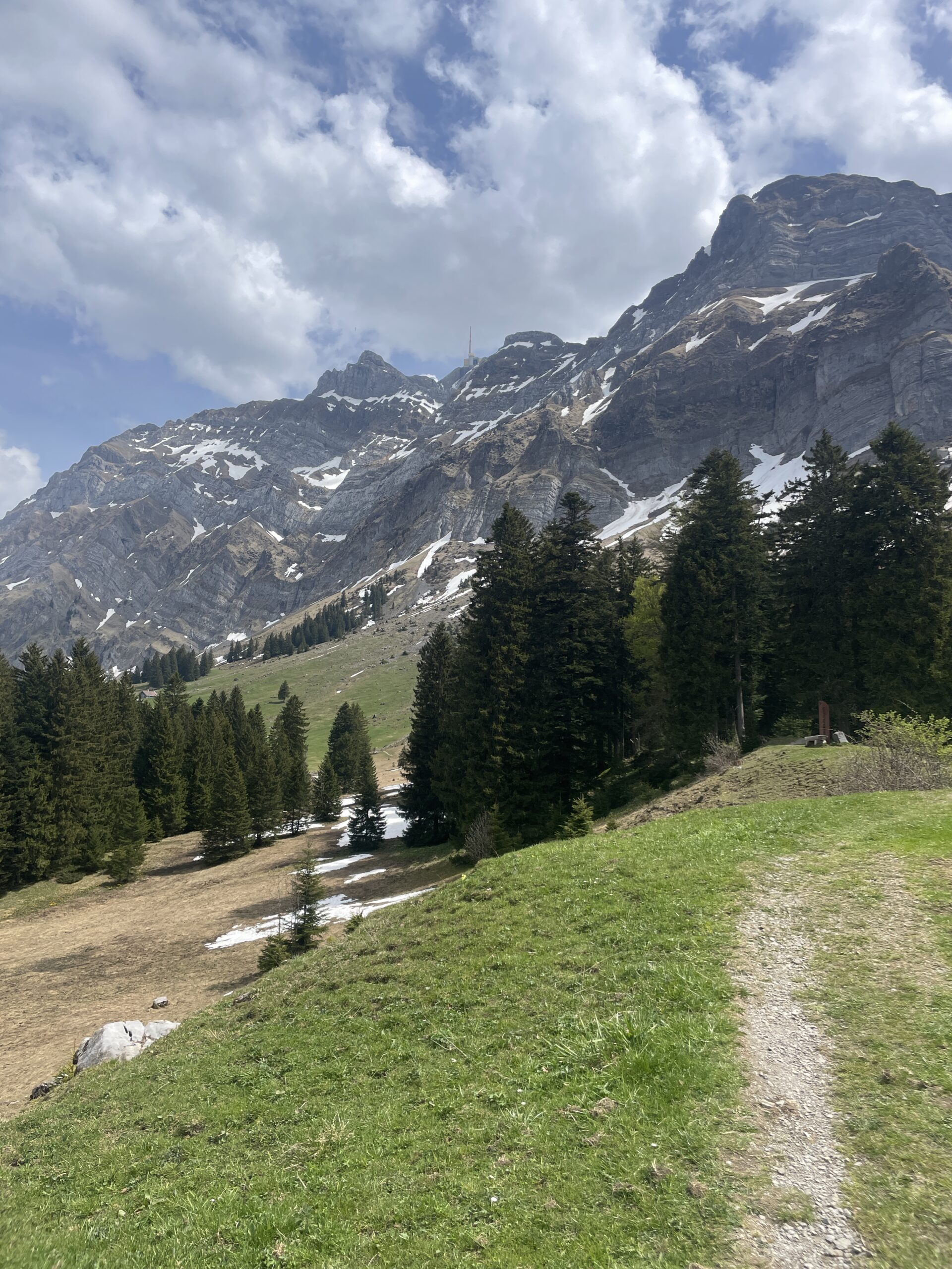
Up from the gorge again, I once again had great views to Säntis and Alpstein. I really like that the views on this hike constantly change direction, and that you change between being up high and down in the gorge.
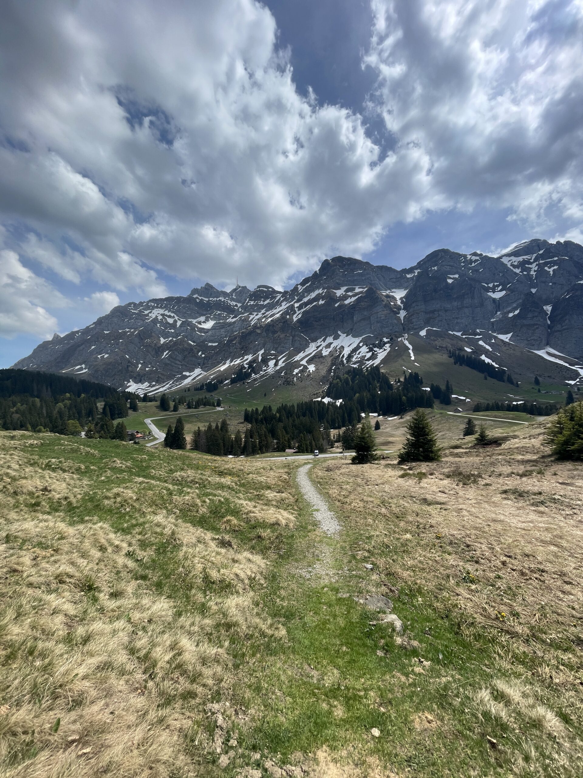
The last part of the hike is again on wider gravel road in the forest, and on flat hiking trails. In between the trees, there were views to Säntis and this was a nice calm ending to the hike.
I finally reached the area below Säntis, and made my way towards the bus stop at Schwägalp. There was a lot of traffic on the roads here, as this area is a very popular destination. Therefore, I chose the hiking path running just below Säntis for the last part, to avoid the main road.
From Schwägalp, I took the bus to Urnäsch, and from here a train to Gossau and then Zürich.
All content and information provided on myswisstrails.com is for general information and entertainment purpose only, and does not constitute professional advice or recommendations of any kind. You are using all the provided information at your own risk.