
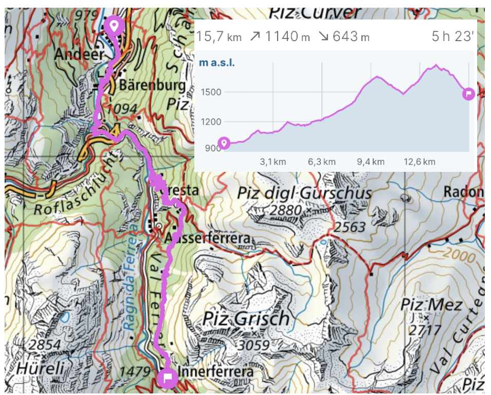


I hiked this route on the 17th of April, 2026. I was once before in this area, hiking from Andeer to Splügen through the Roflaschlucht and I really liked it.
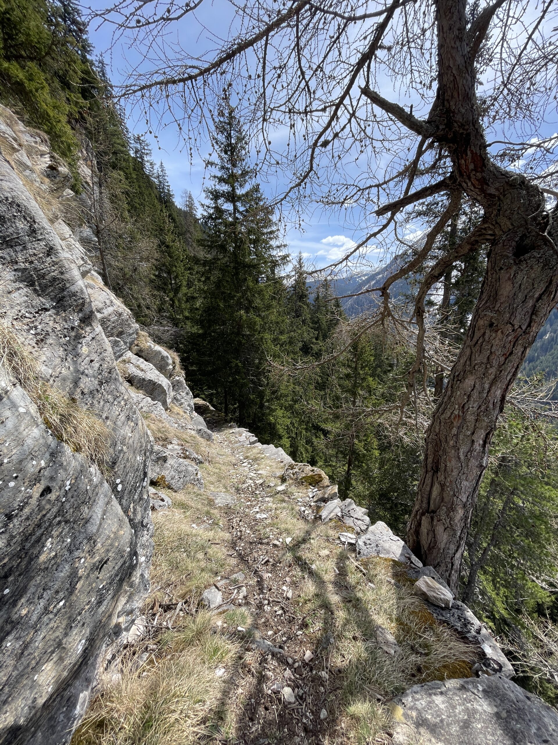
This hike has a large part running along the rivers and in the forest before reaching Cresta and a more open landscape with great views. The last part down towards Innerferrera has a rather narrow path and steep side, which I would not recommend for people with vertigo.
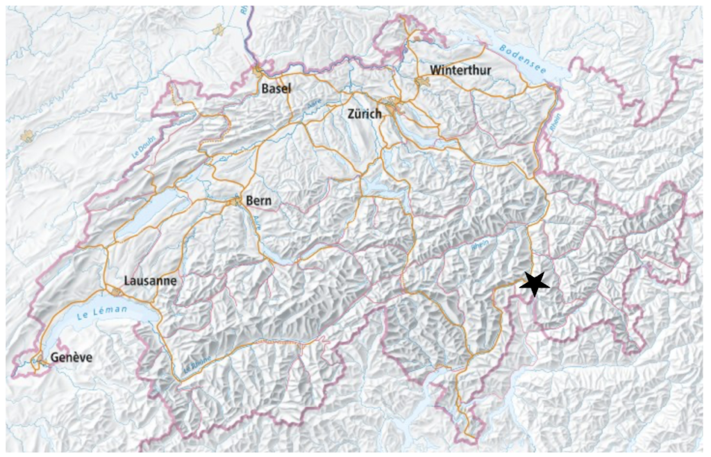
Andeer is easily reached by bus, with the bus going from Chur to Bellinzona or a bus from Thusis train station.
Full route: Swisstopo
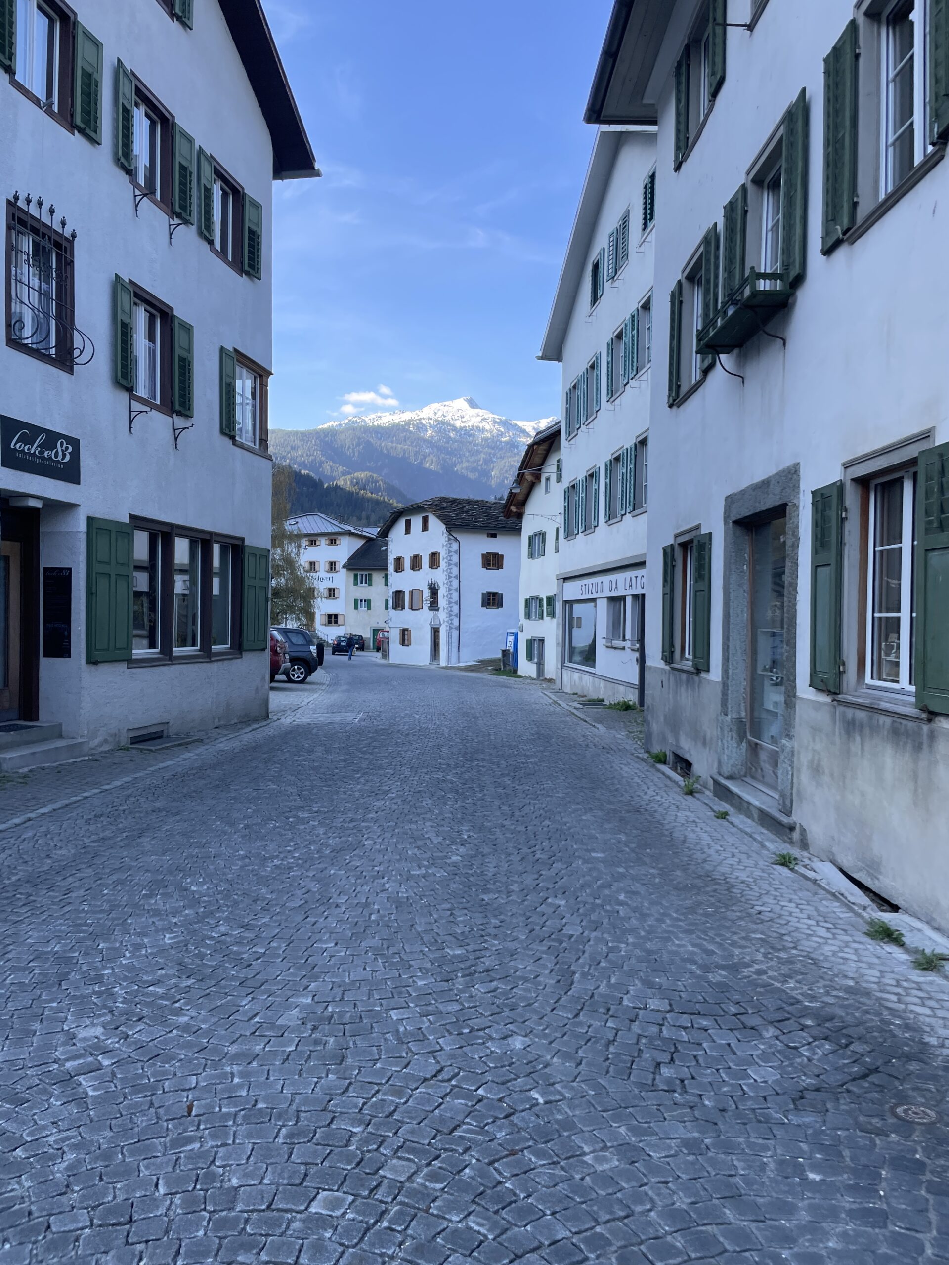
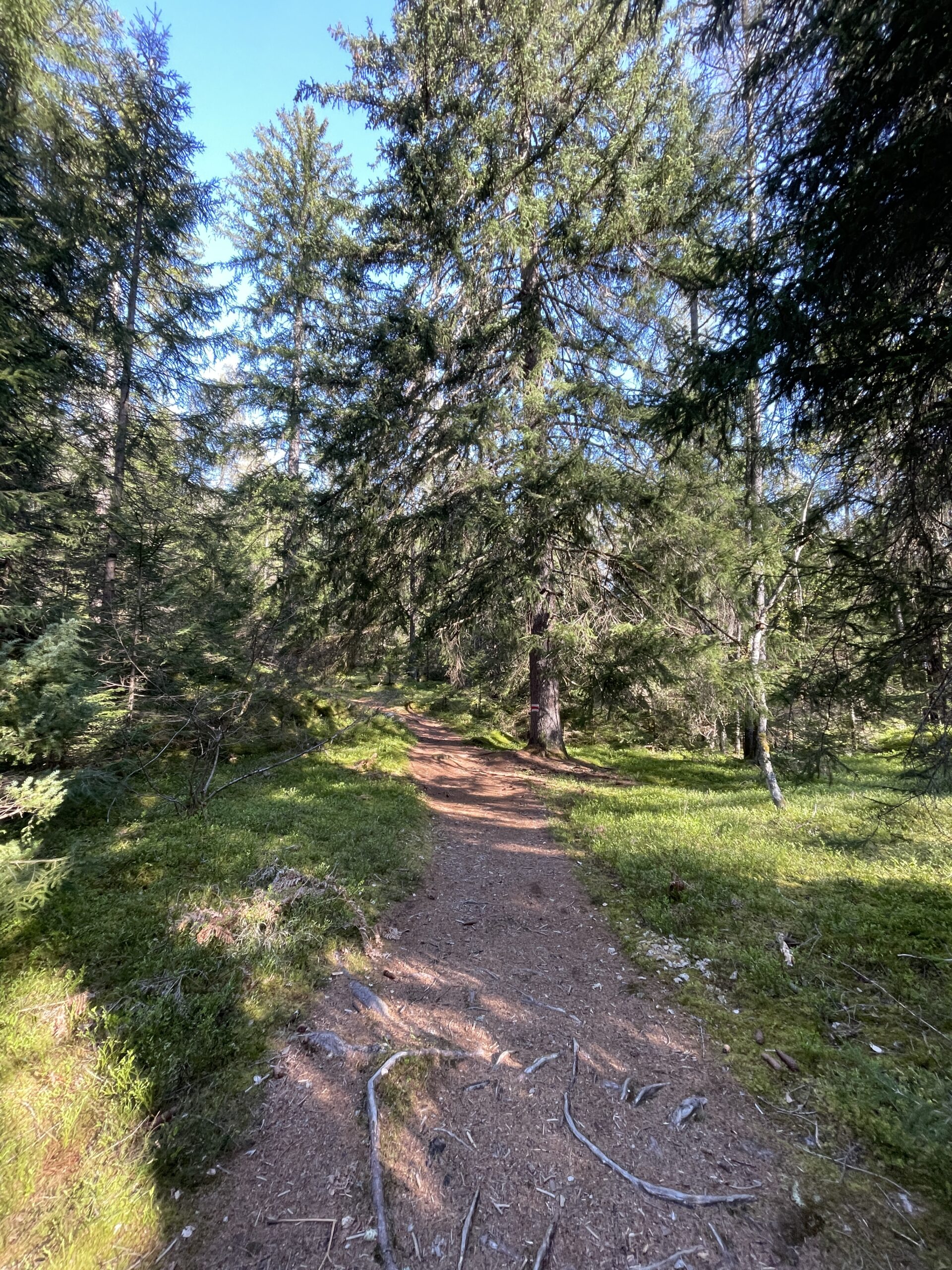
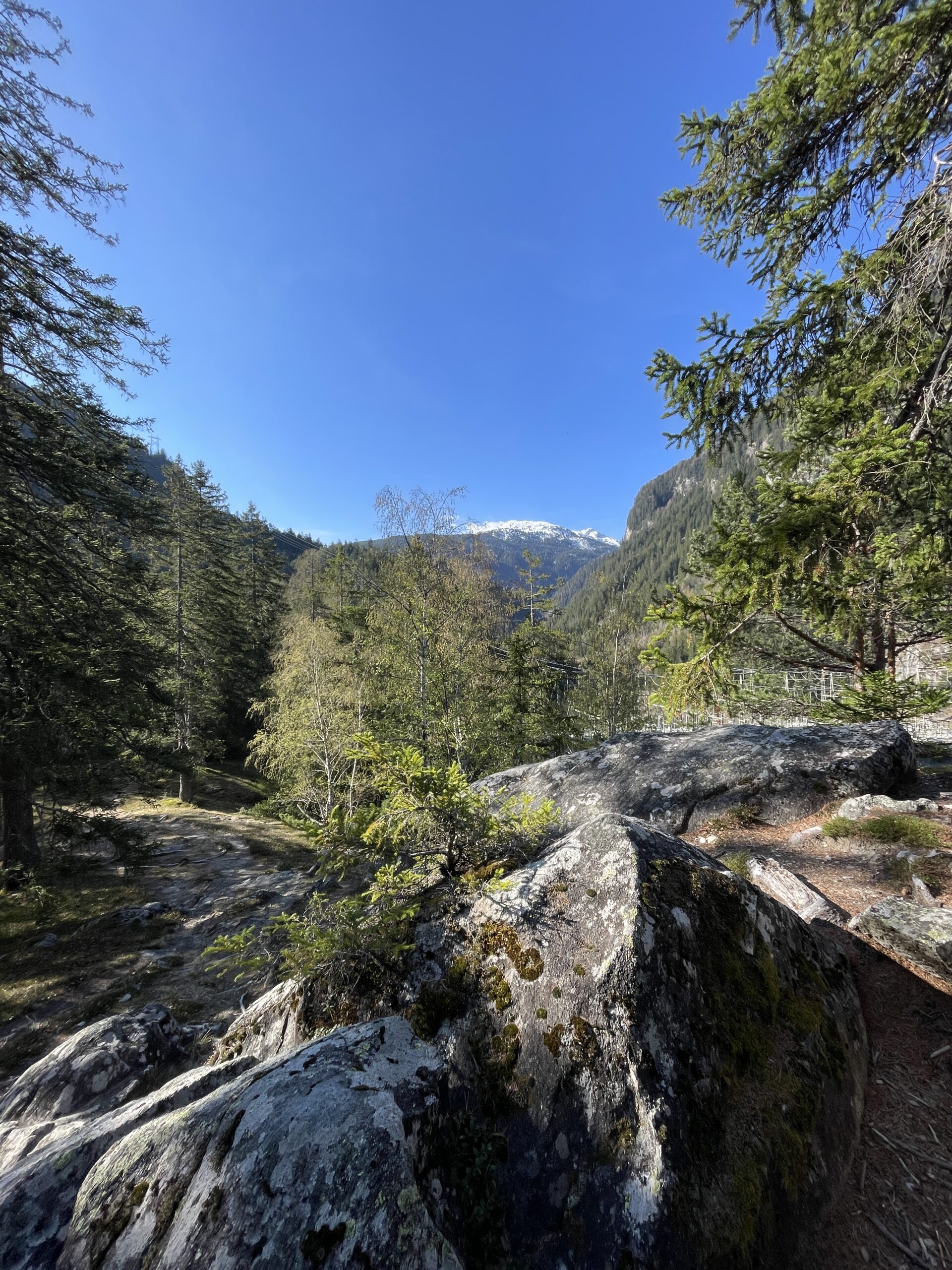
As it was mid April, it was still quite cold in the morning when I started out in Andeer at 9.00 am. Andeer is a very nice village with older houses, hotels and restaurants. After the first twenty minutes I reached the forest and got the first views of the snow covered mountains in the background.
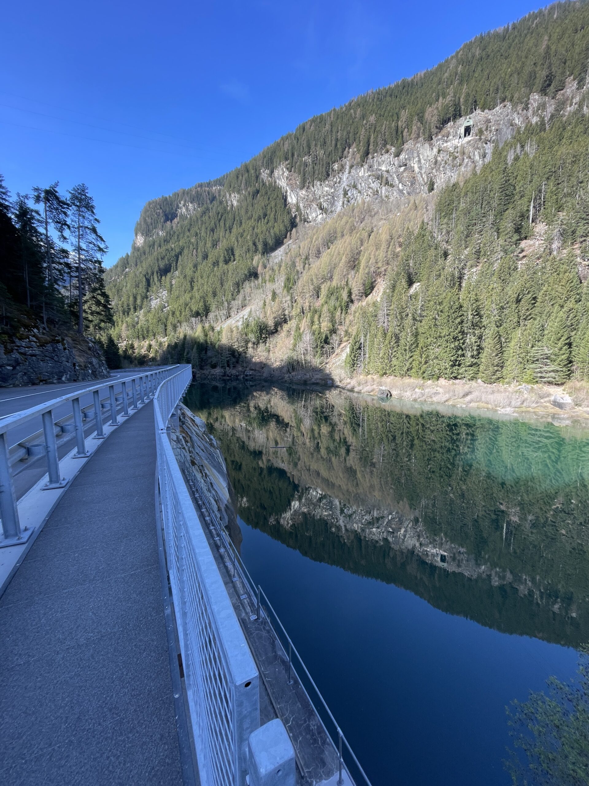
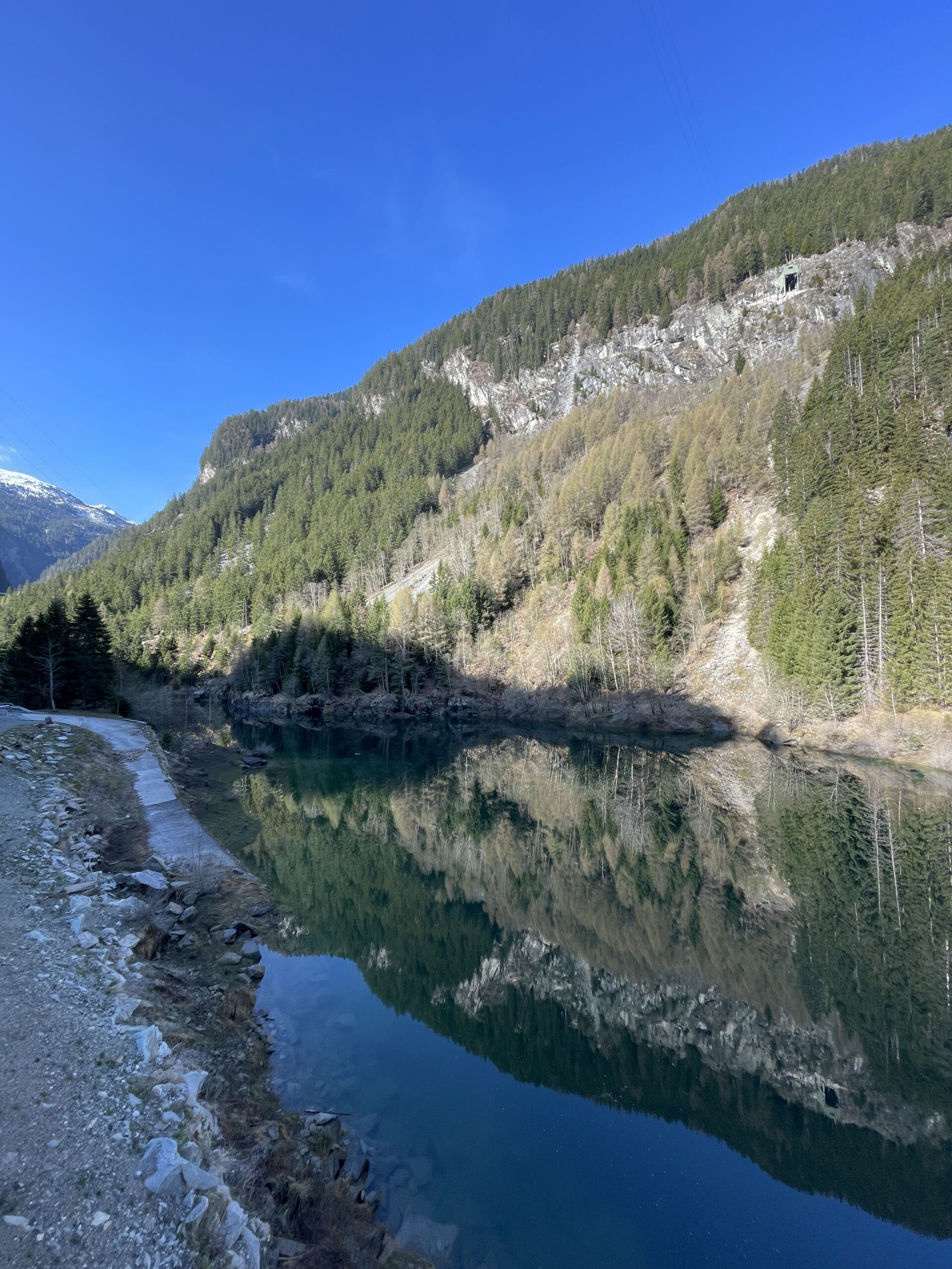
I didn’t walk for a long time in the forest before I reached Lai da Seara, which you walk along on a path next to the road. Just before the lake, I had some nice views back towards Andeer and more snow covered peaks.
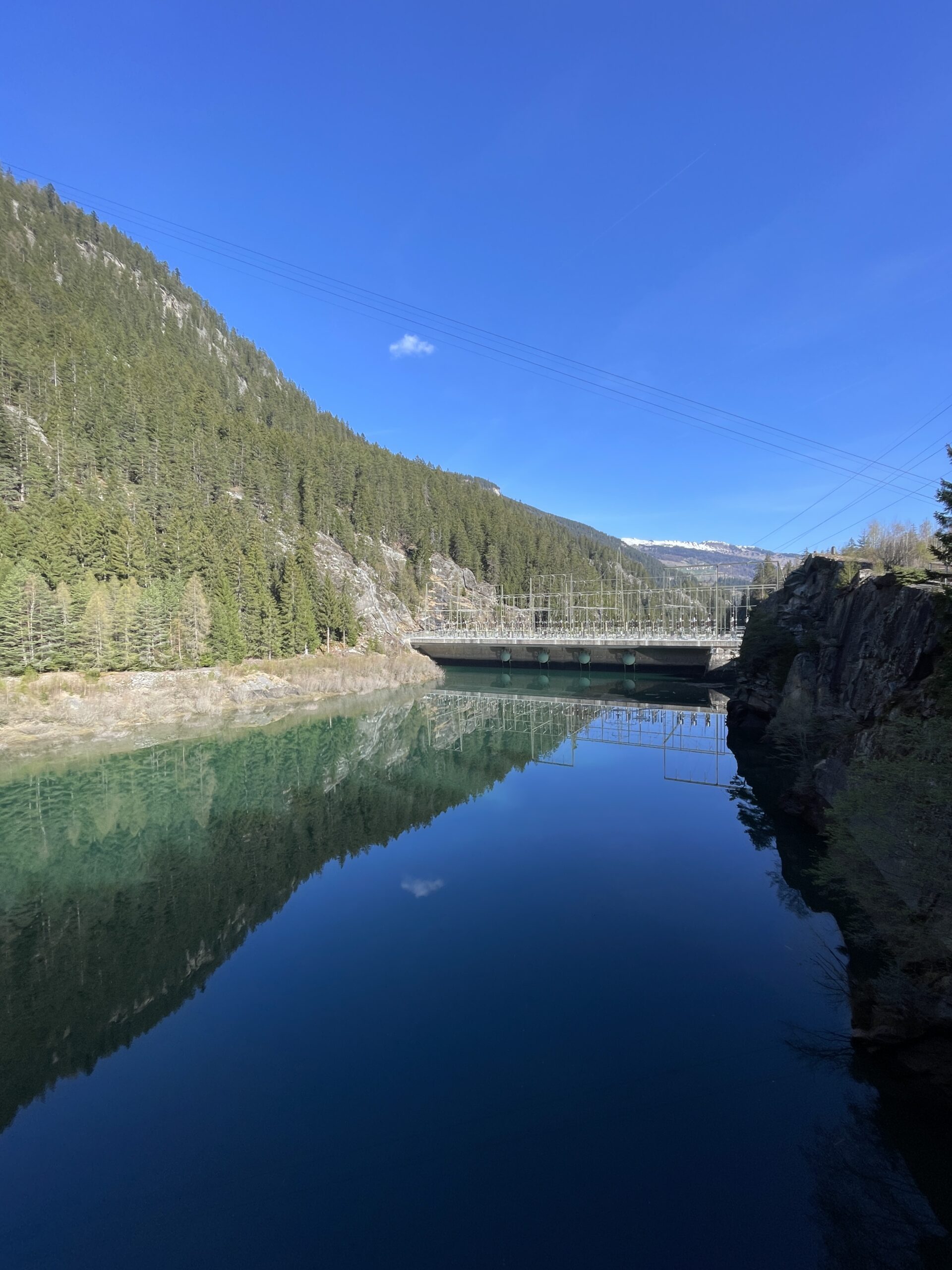
There was no wind and the calm surface of the lake made for some great reflections of the surrounding landscape. You cross the lake on a bridge, from which I had the first views into Val Ferrera.
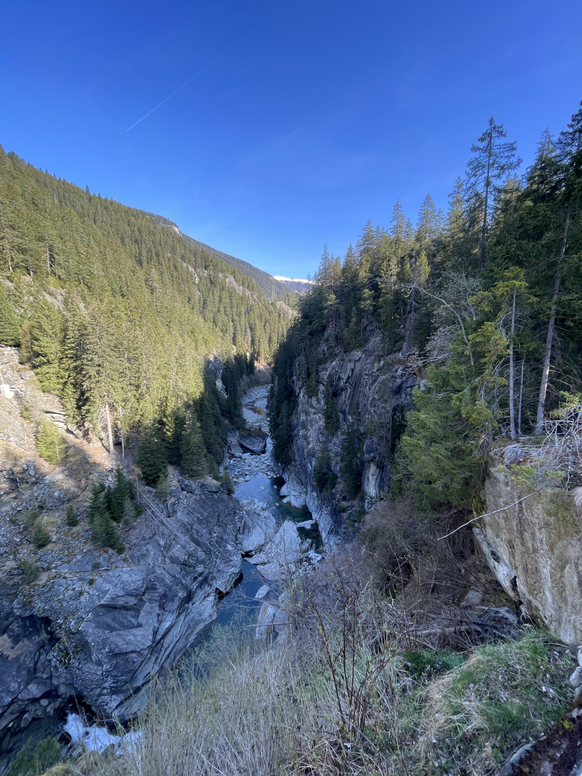
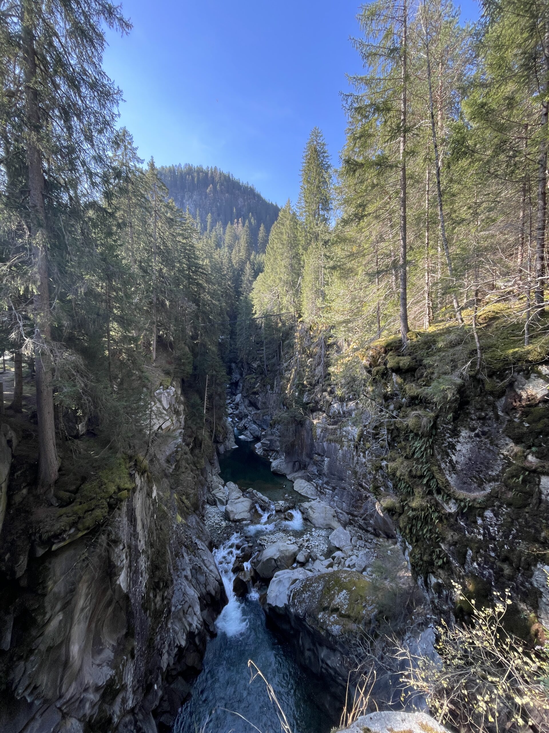
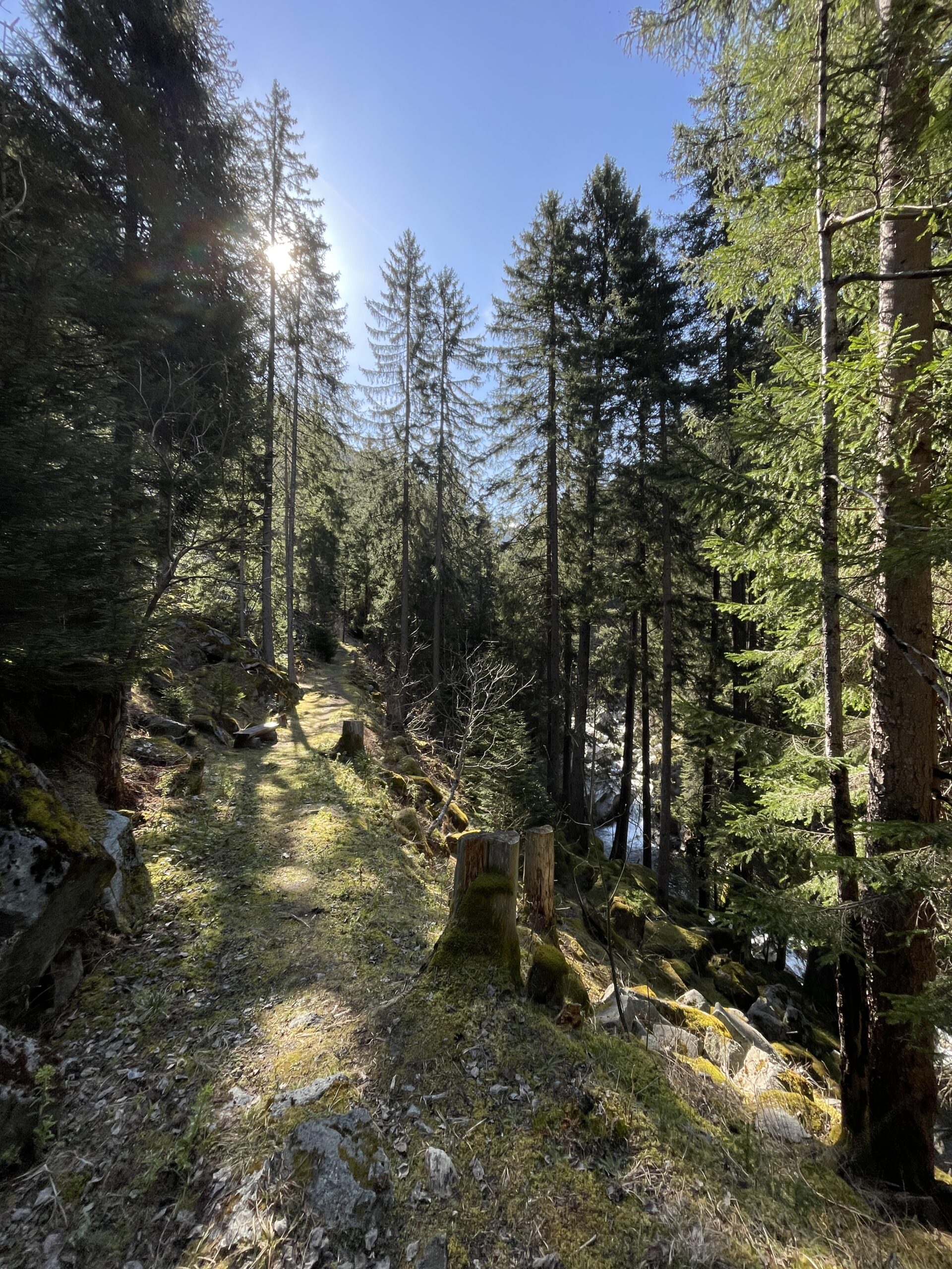
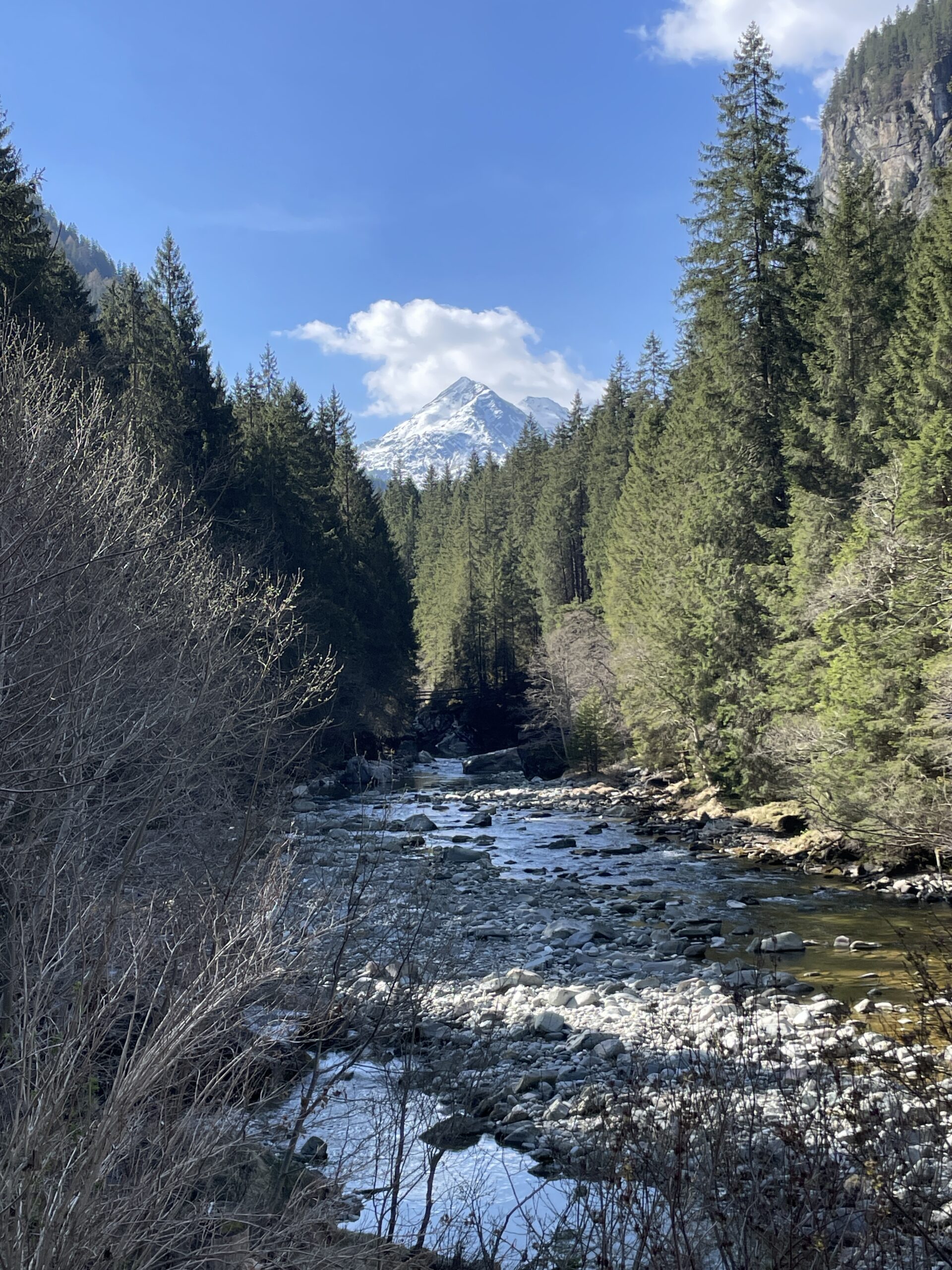
After crossing the bridge you reach the beginning of the Roflaschlucht (gorge), which bends its way in the direction of Sufnersee and the villages of Surfers and Splügen. I only walked for a short time in the gorge before I turned off in direction Val Ferrera.
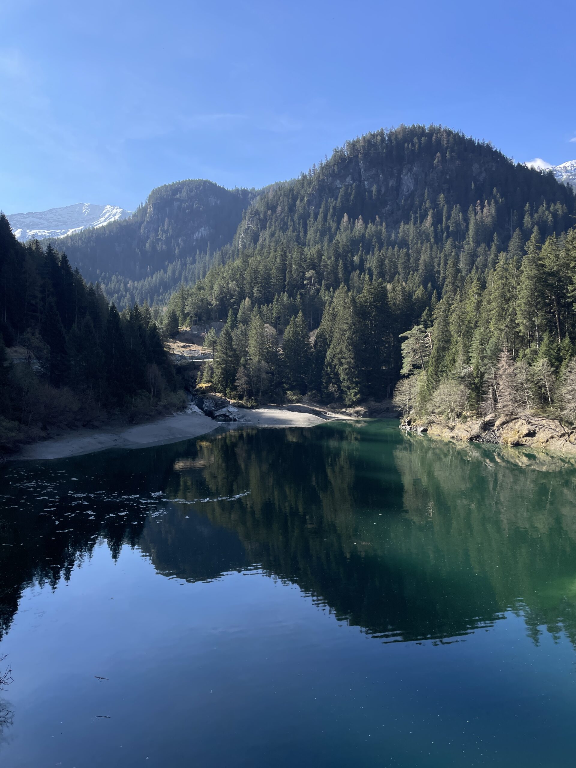
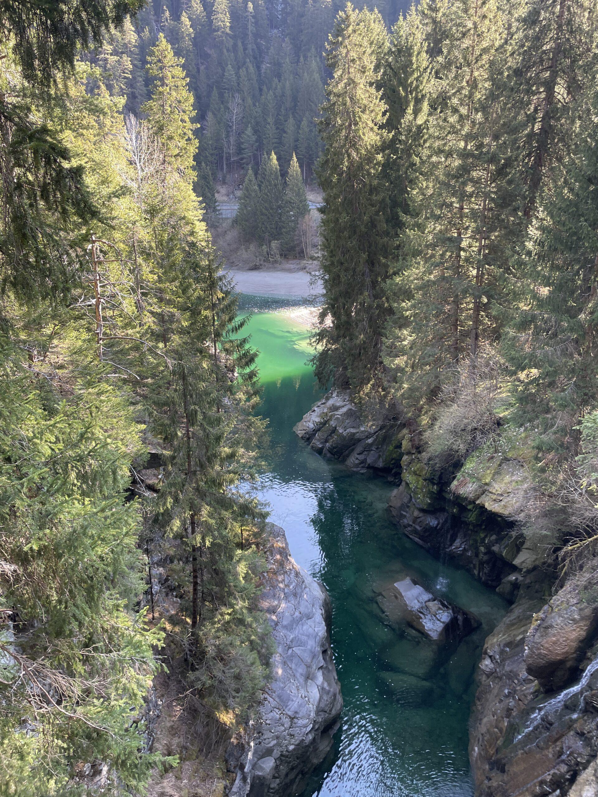
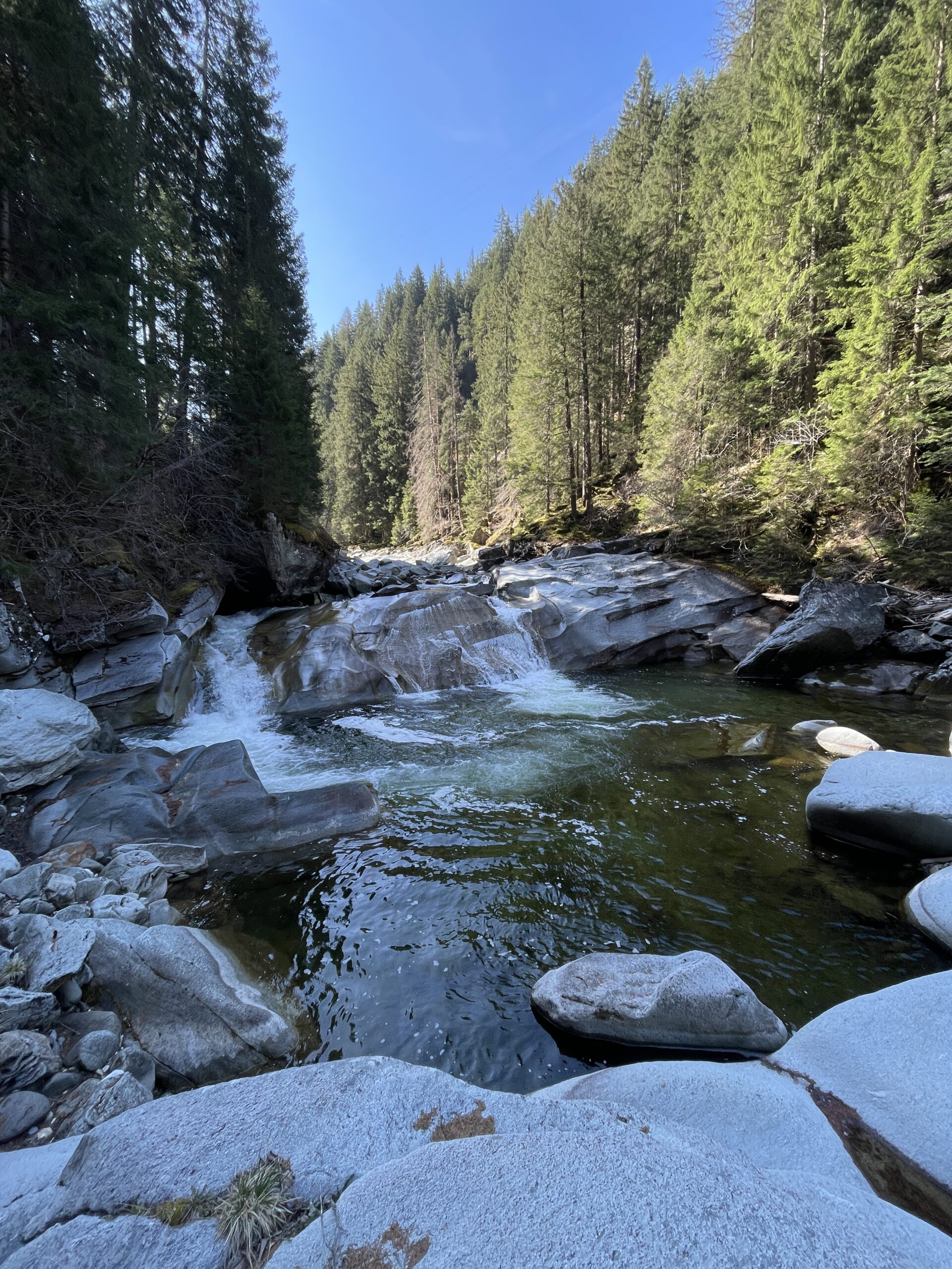
The first part of the hike in Val Ferrera runs just below the road right next to the river. It is a really nice path and surpricingly calm despite its proximity to the road. It is possible to get close to the river and its small ponds at several places along the hiking path.
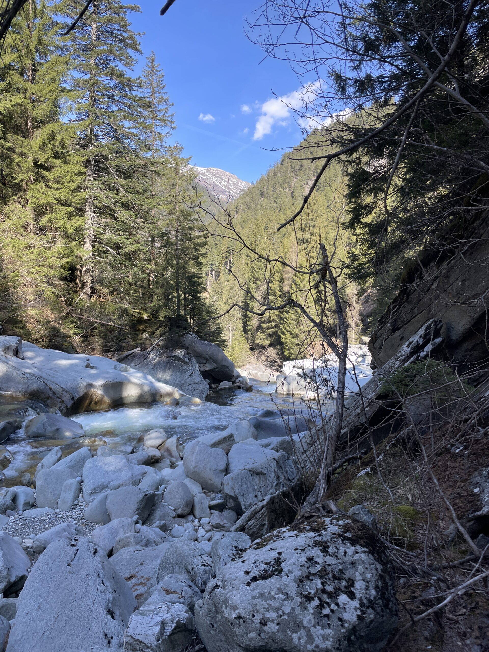
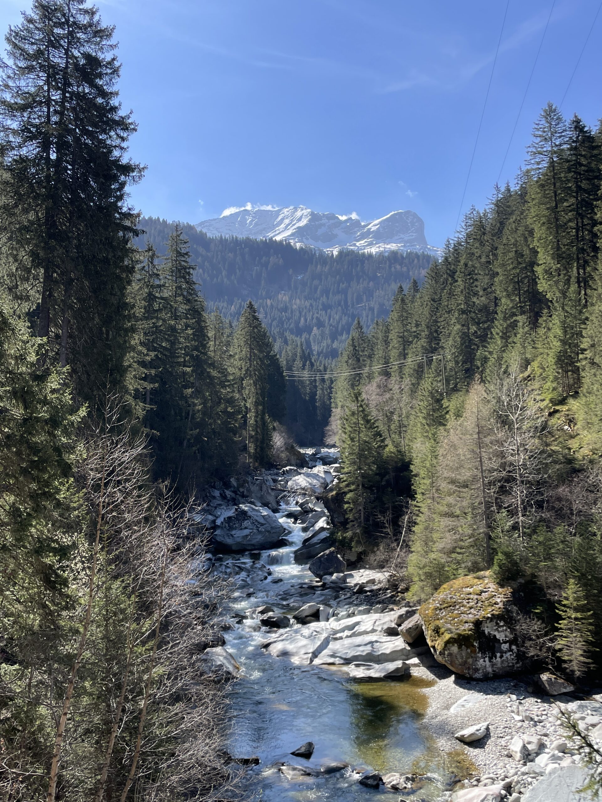
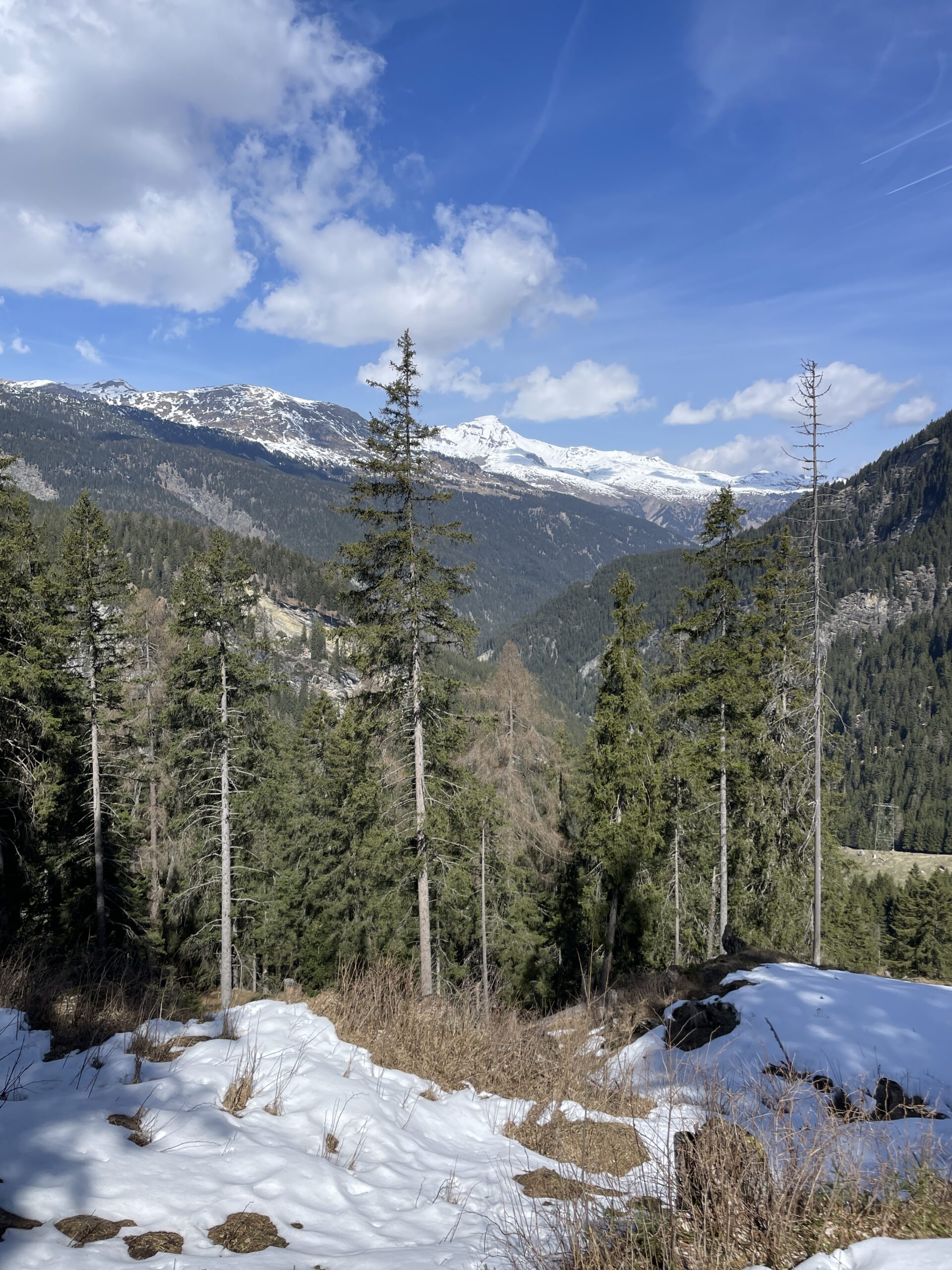
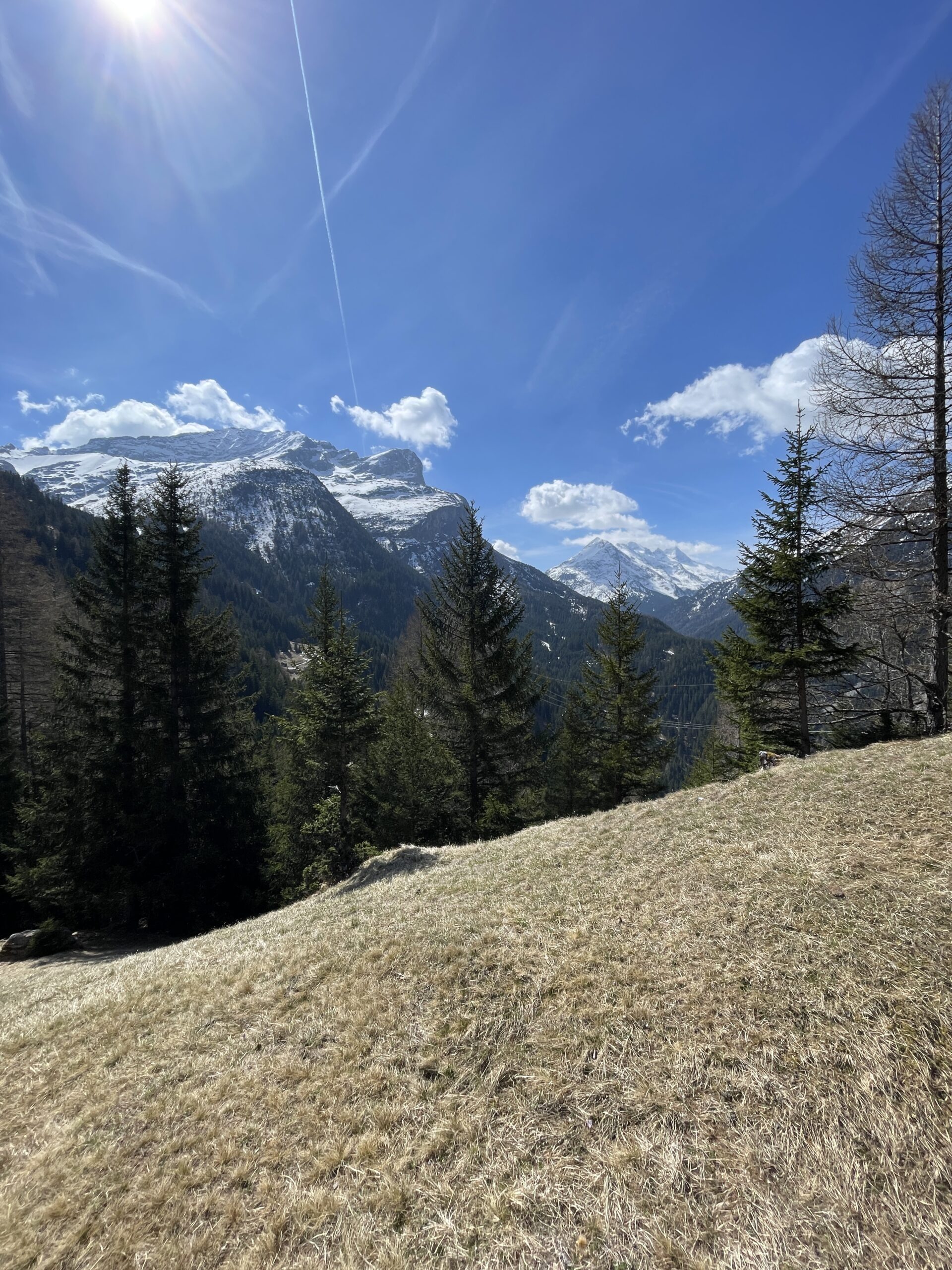
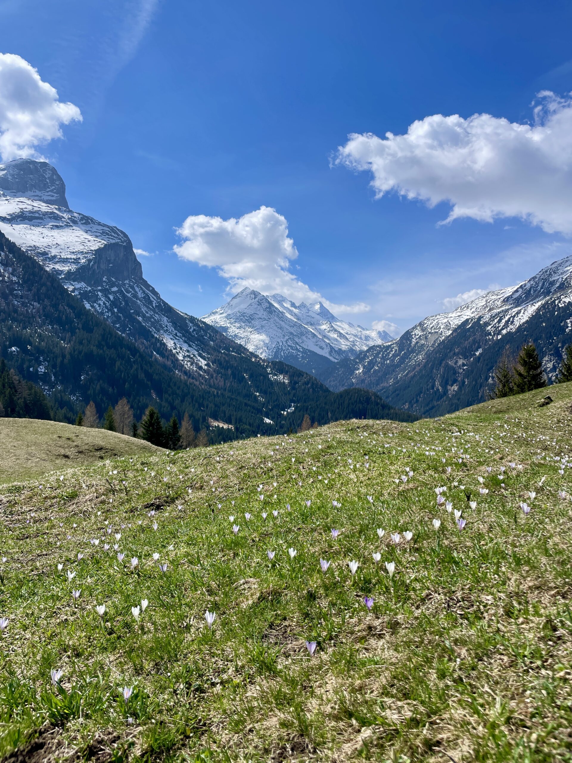
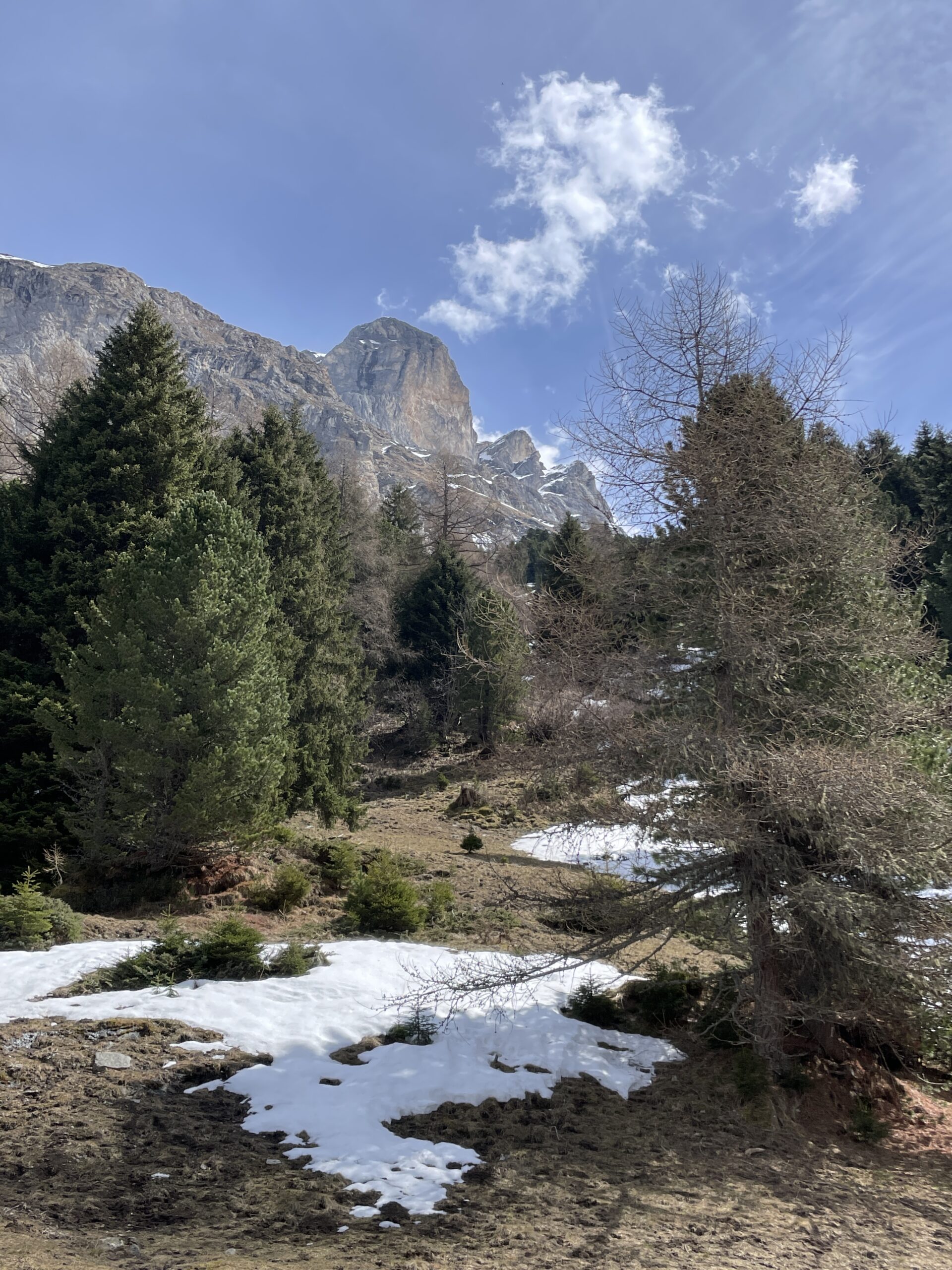
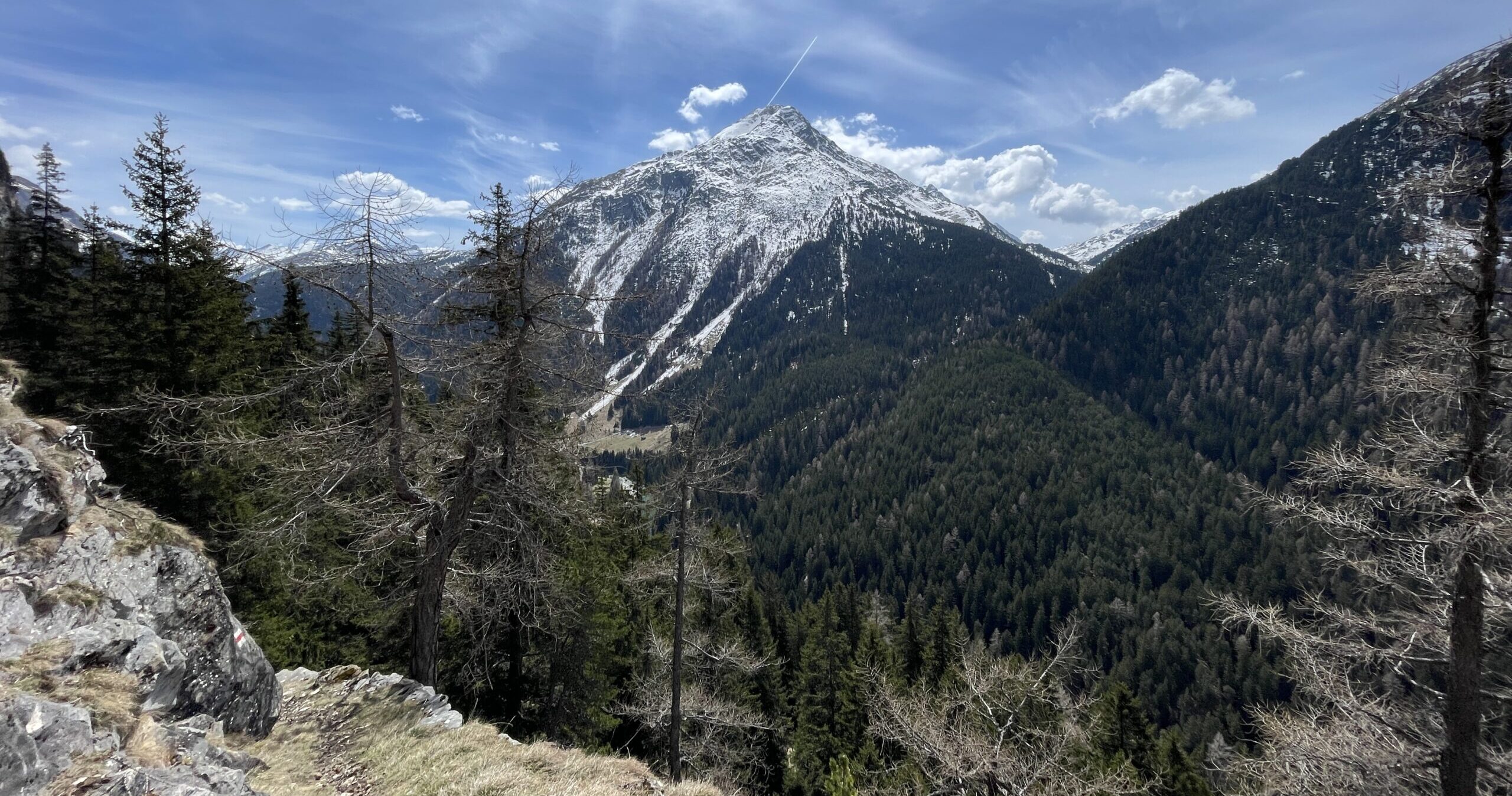
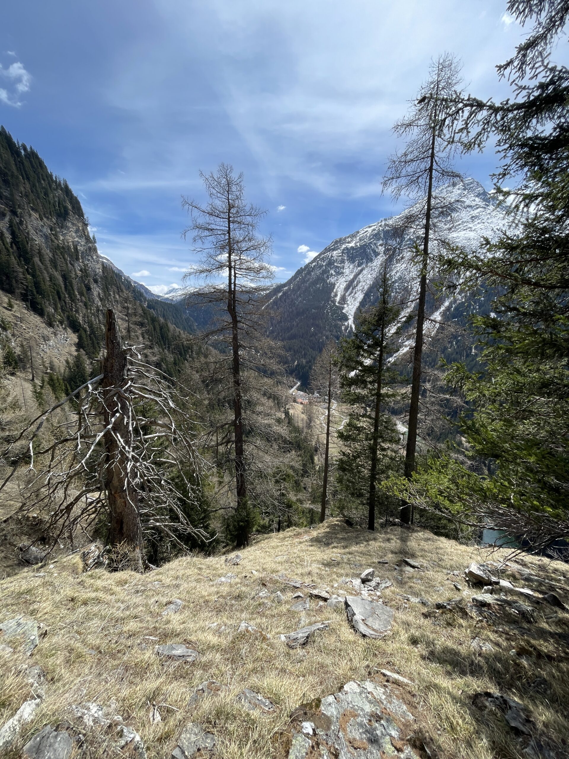
During the last part along the river, the forest cleared up and at a few spots, I had clear views of the snow covered Piz Grisch and Piz Miez, just above my end destination in Innerferrera.
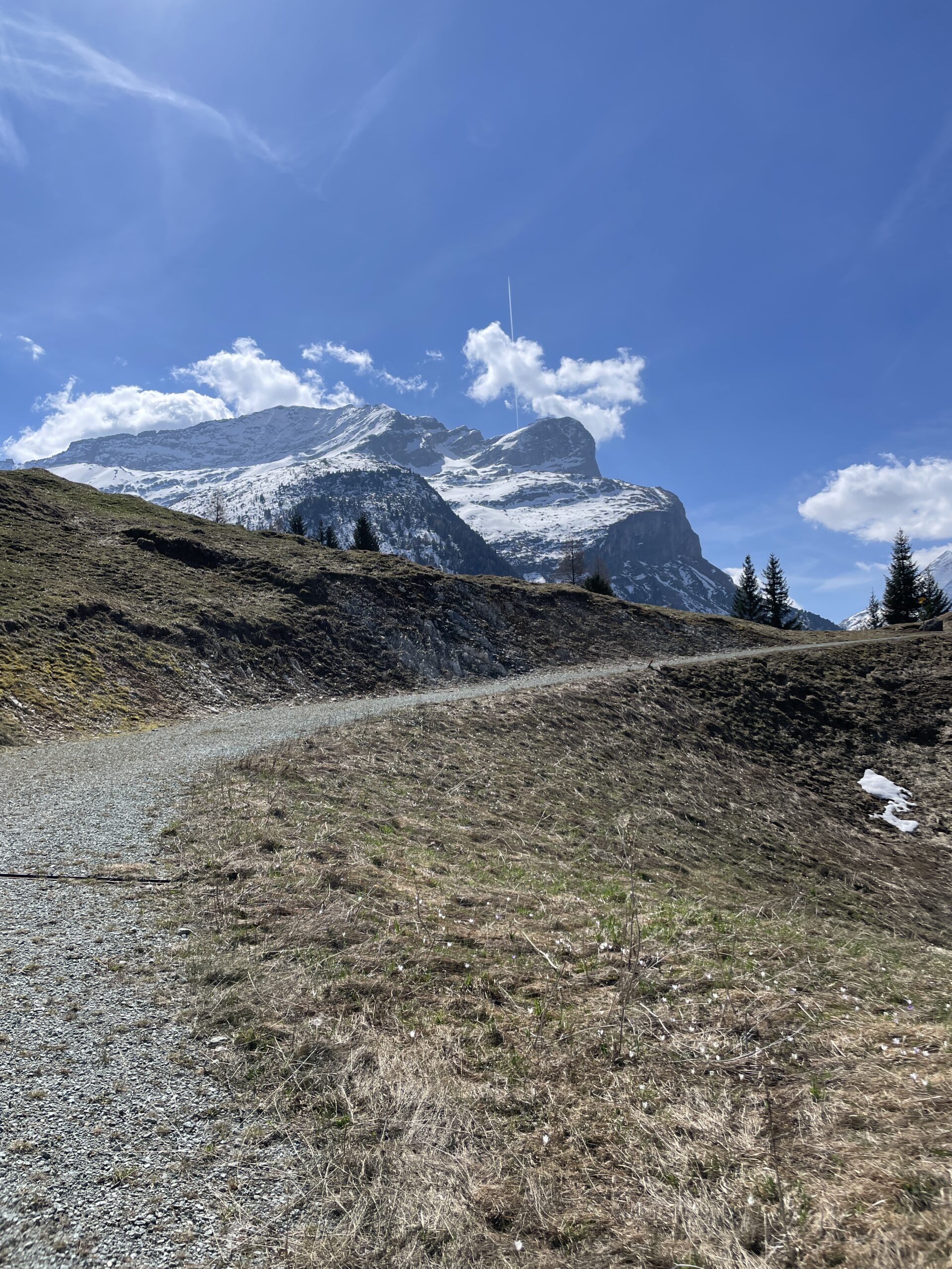
After the first couple of hours, I started the climb up to the village of Cresta. The first half was on a wide gravel road after which the path turned into a relatively steep hiking path. All the way up, I had great clear views back in the direction of Andeer and Thusis.
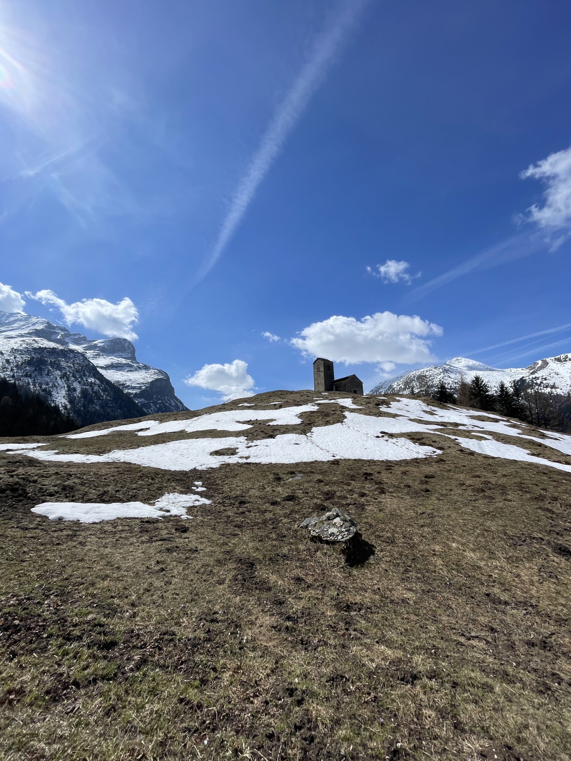
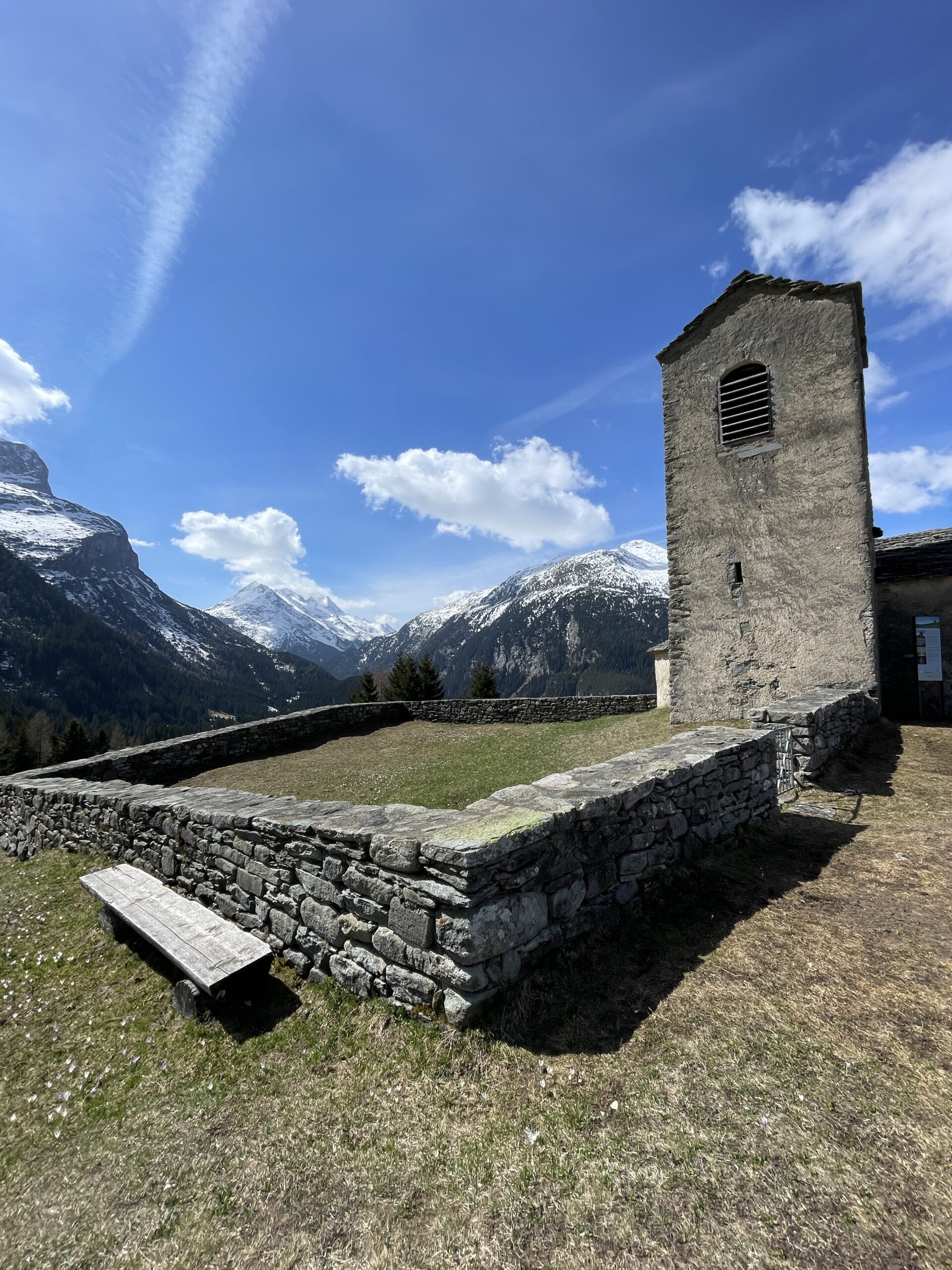
Finally, reaching the first top and Cresta, I was rewarded with beautiful views of the surrounding mountain peaks. Cresta village has a church which stands at the highest point in the village rewarding visitors with stunning views.
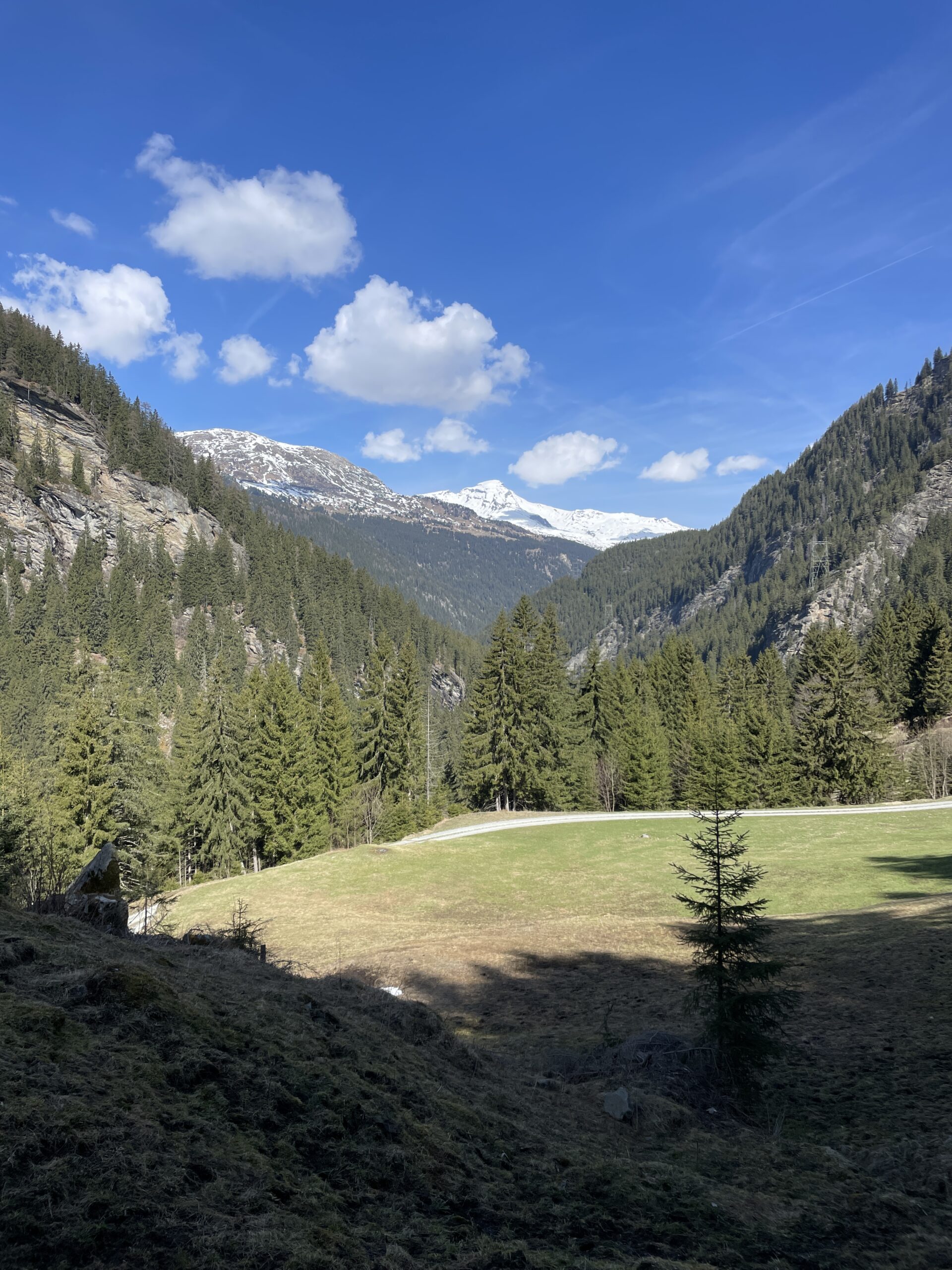
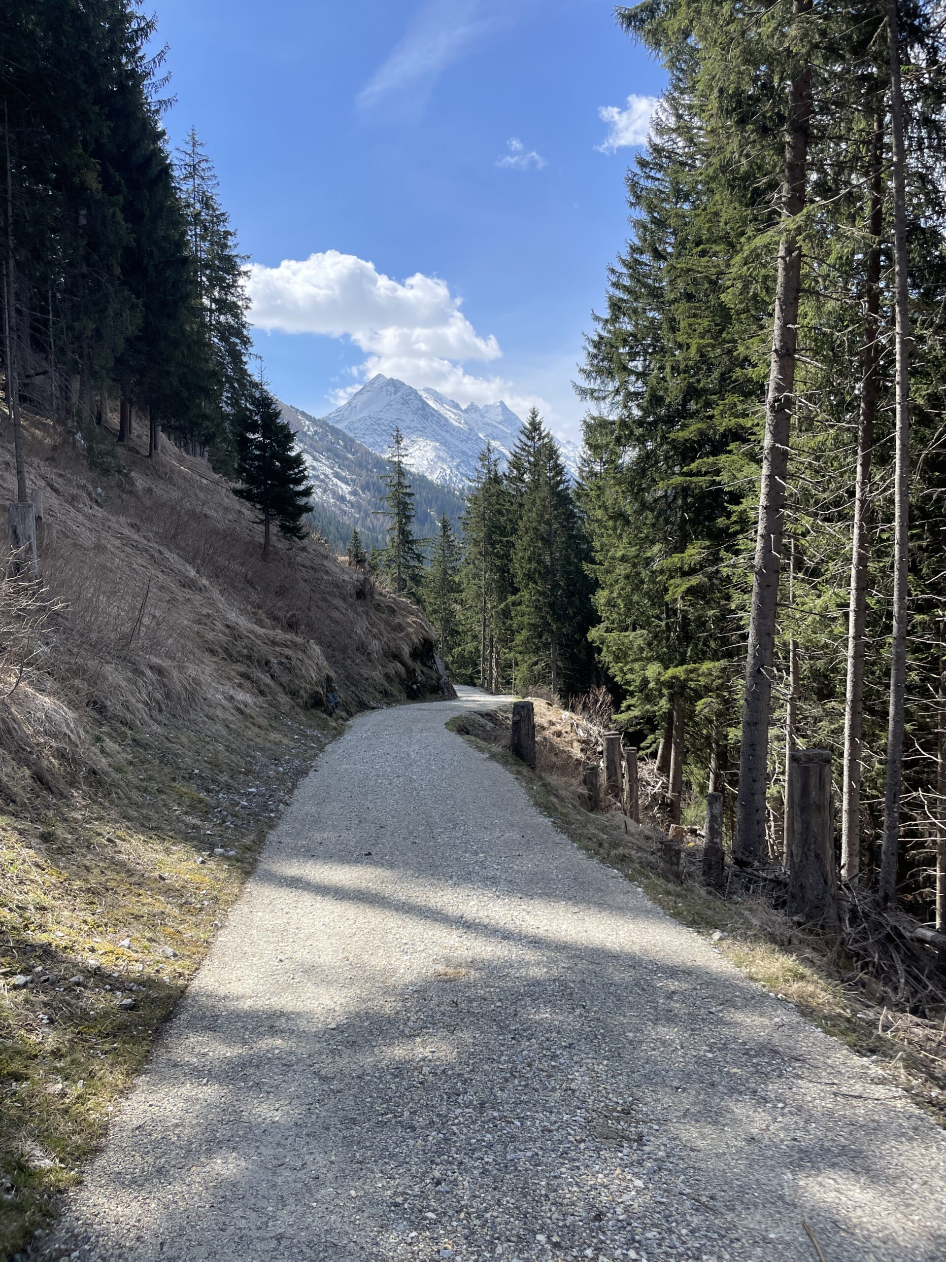
I spend some time up at the church enjoying the views and taking a break after the climb up. The path after Cresta was once again on a wide very well maintained gravel road for a couple of kilometers, before it again turned into a regular hiking path.
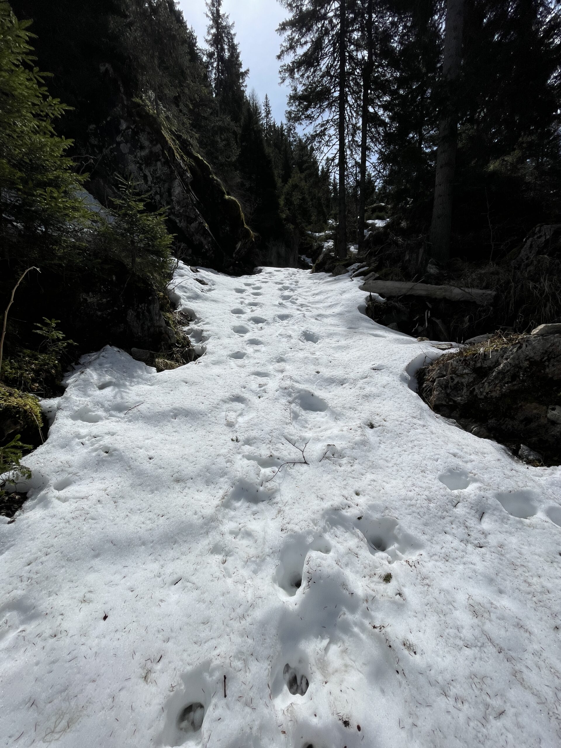
From the swisstopo app, I knew there was a possibility of snow patches on the trail, and for about one hour I had to wear my gaiters walking through snow, some places knee high, but nowhere impossible or for longer stretches.
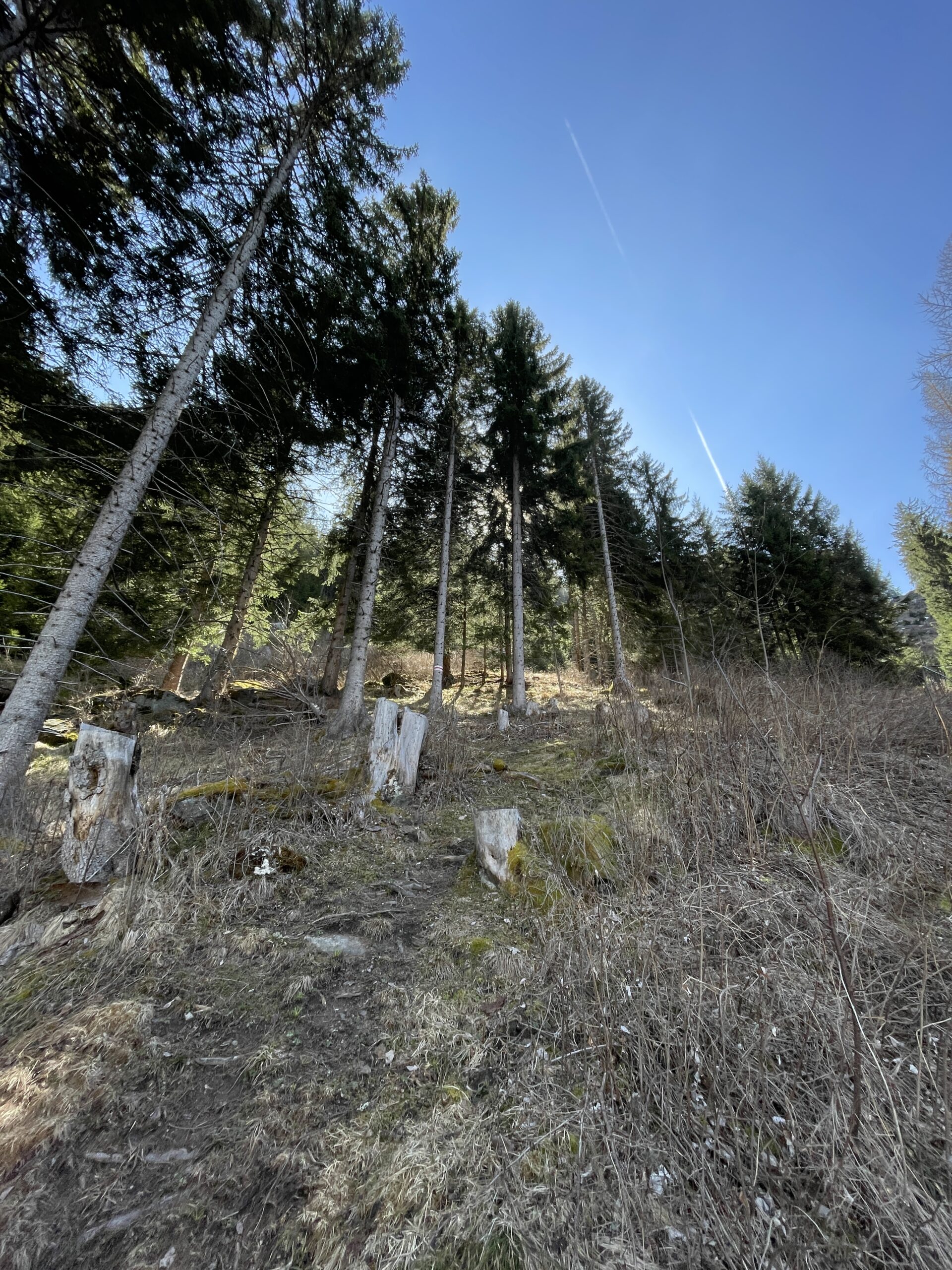
After an exhausting part through the snow, I finally reached the last top point of my hike. The hiking path got even more narrow from here and several places with a rather steep side down to the right. I did not feel uncomfortable of the path, but I wouldn’t recommend it to people with vertigo.
The descent down toward Innerferrera was really beautiful with great views of Piz Miez. It was again a quite narrow hiking path and with a part at the end with the risk of falling rocks (sign at the buttom in Innerferrera), so I hurried through that part.
I made it back to Innerferrera in perfect time for the bus, which only ran once per hour, and made my way back toward Andeer and then Zurich.
All content and information provided on myswisstrails.com is for general information and entertainment purpose only, and does not constitute professional advice or recommendations of any kind. You are using all the provided information at your own risk.