
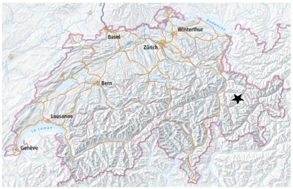
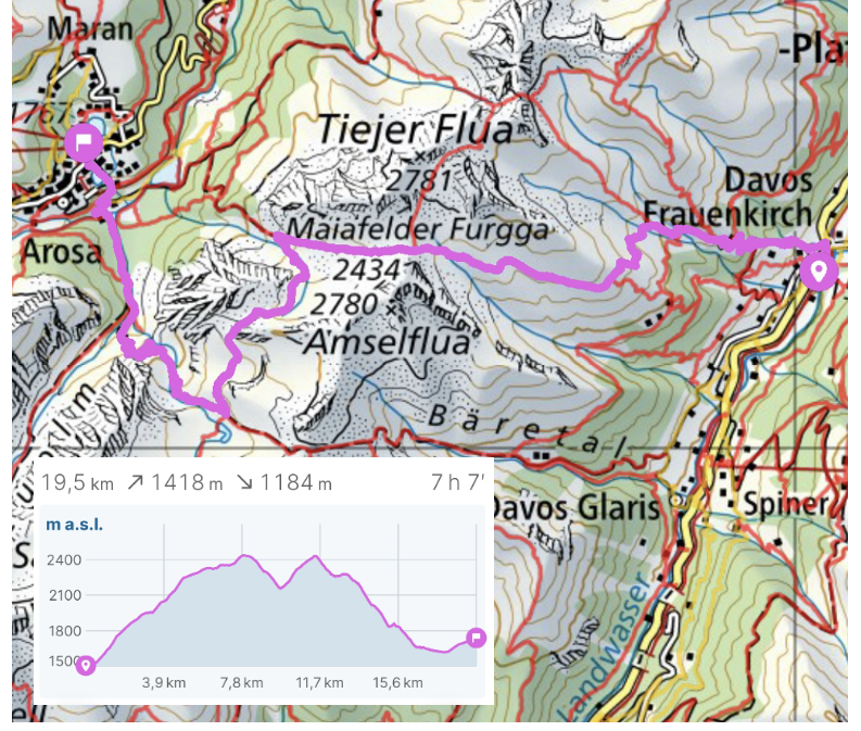
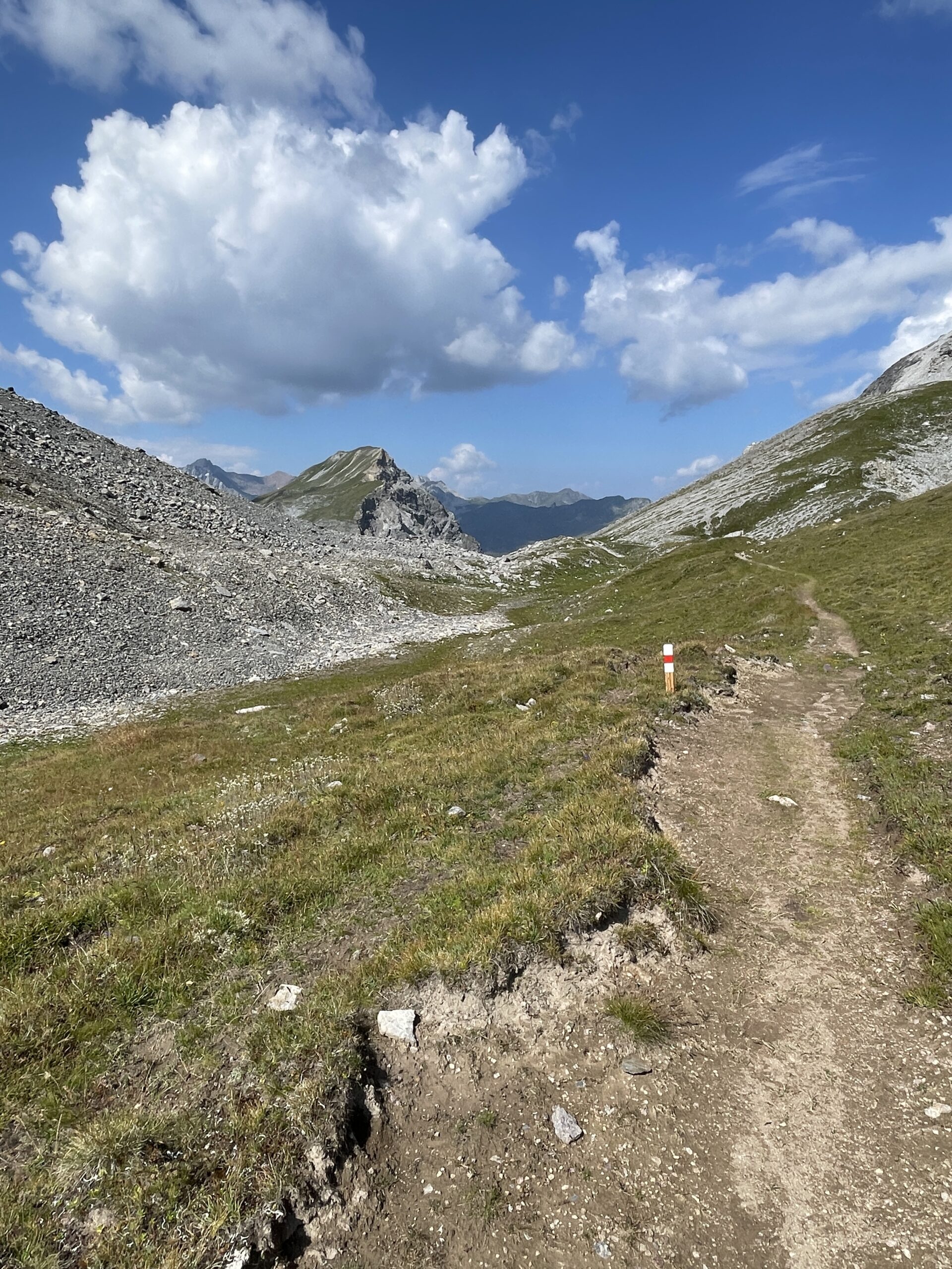
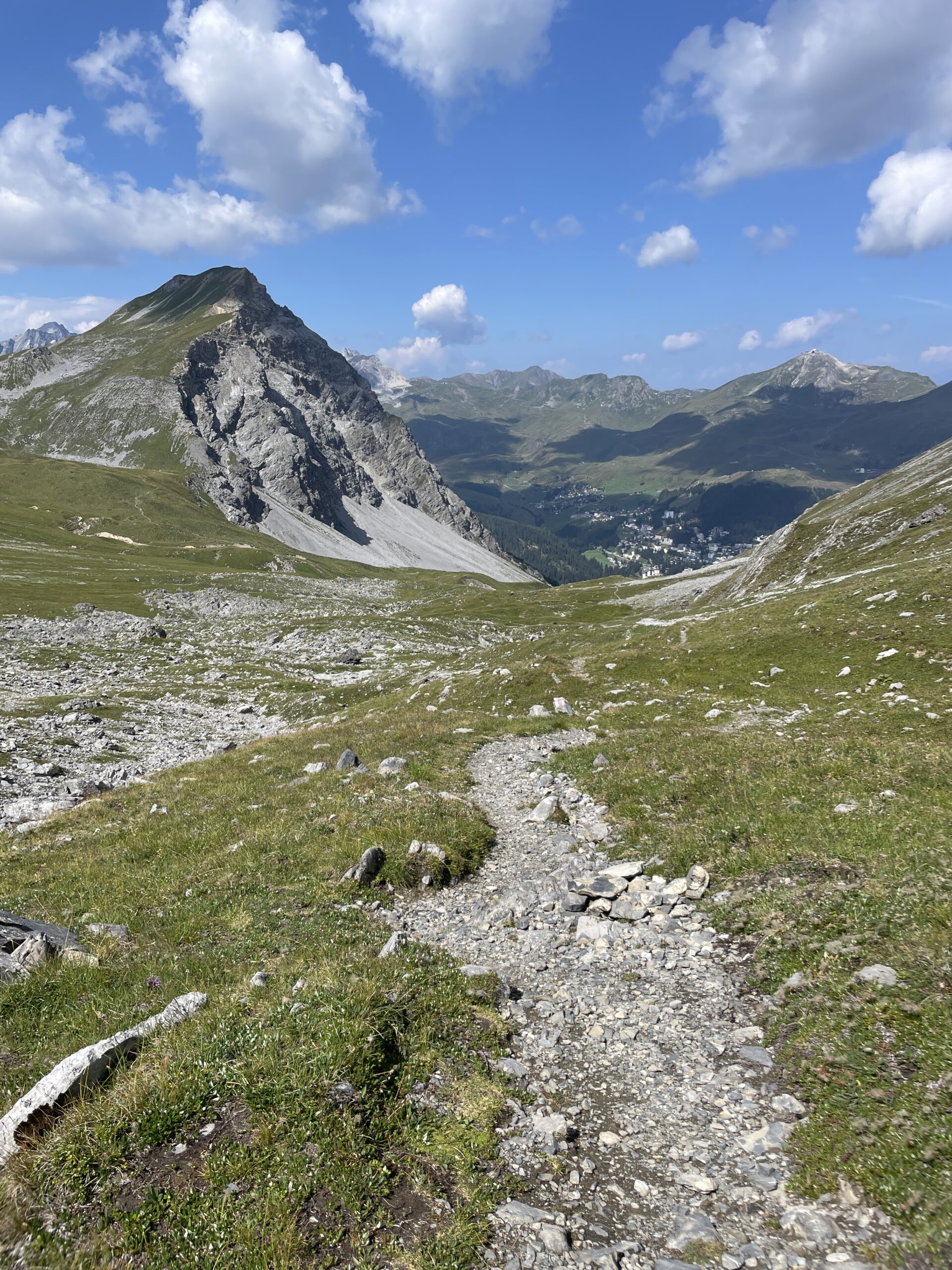
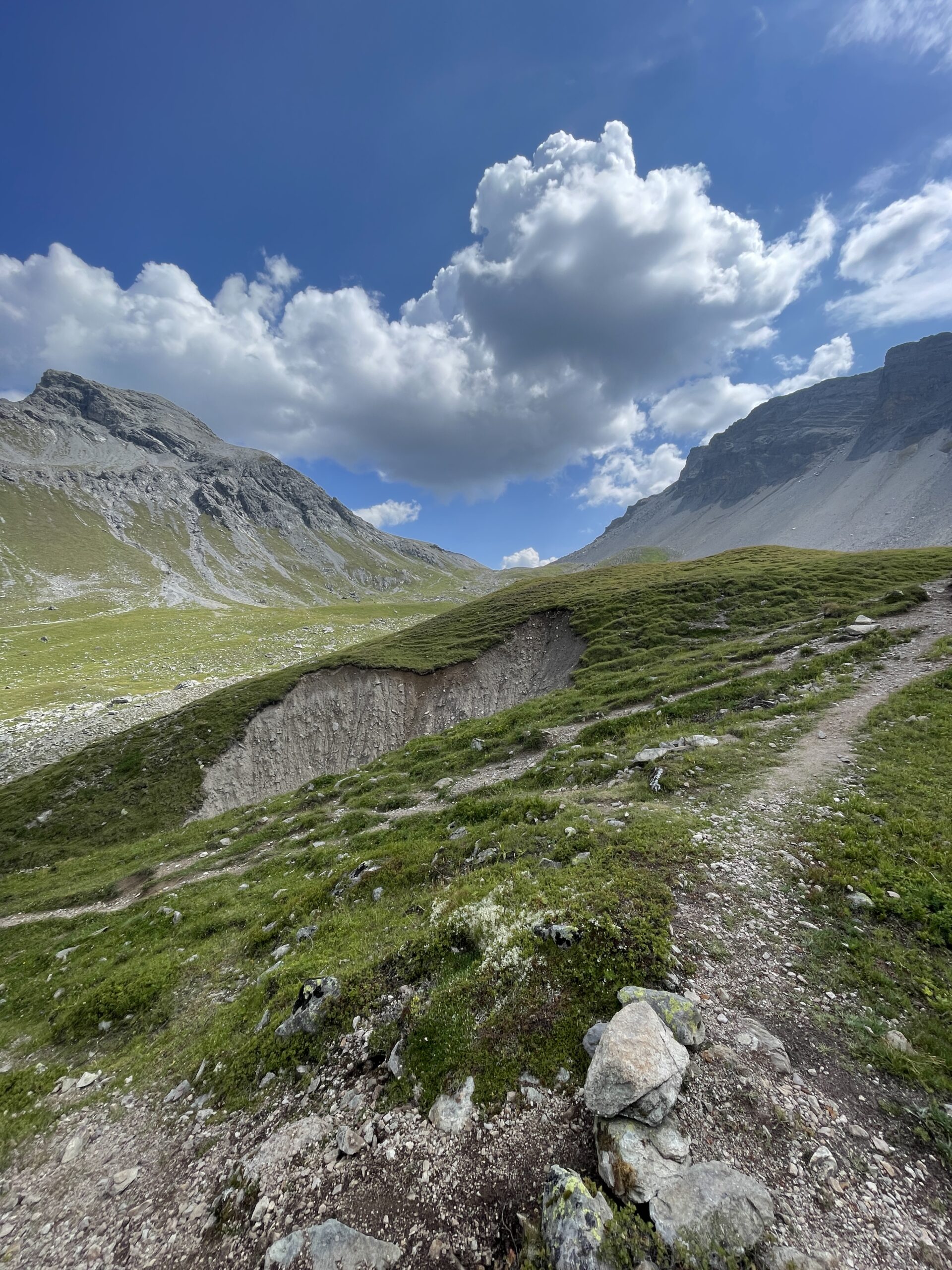
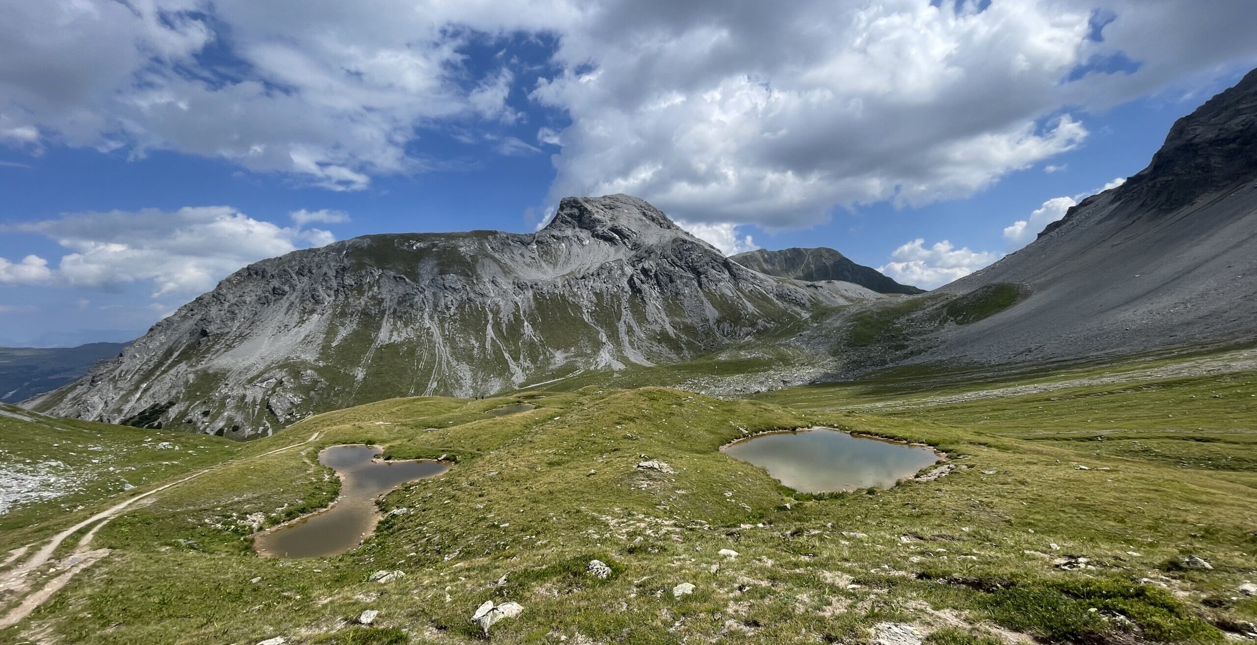
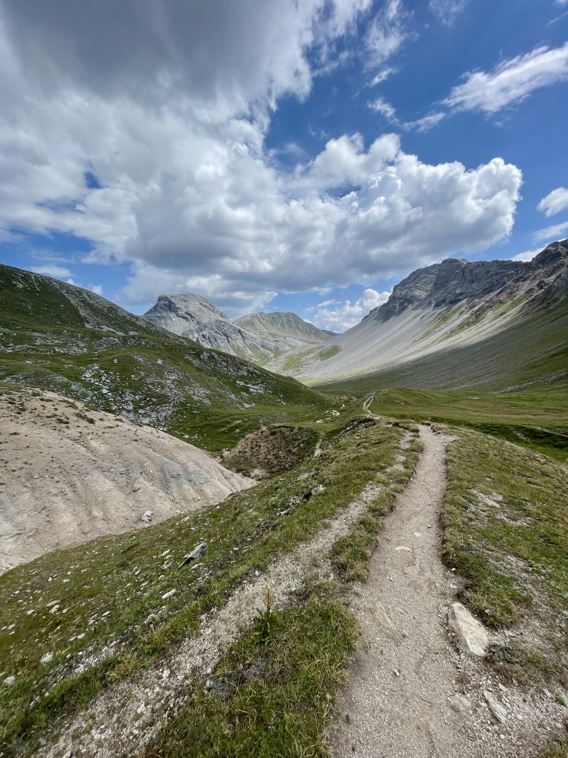
I did this hike on the 2nd of August, 2026. There was another heatwave in Zurich, so I had decided to go to the area around Davos for a hike to escape the heat. After looking at the map and hiking trails, I ended up doing the below hike which is a mix of stage 15 of the Walserweg and the Schiesshorn-Weg.
Full route: Swisstopo
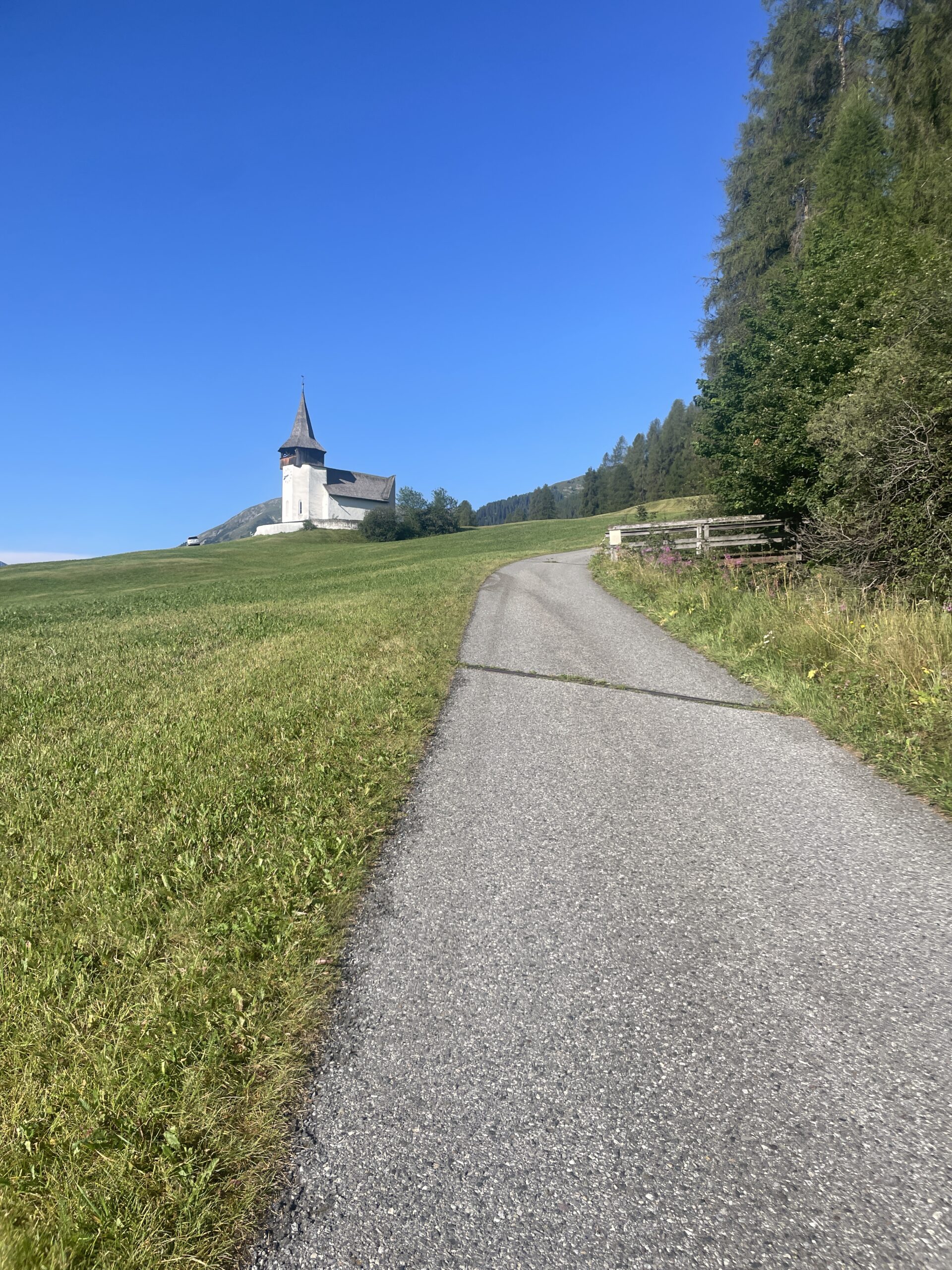
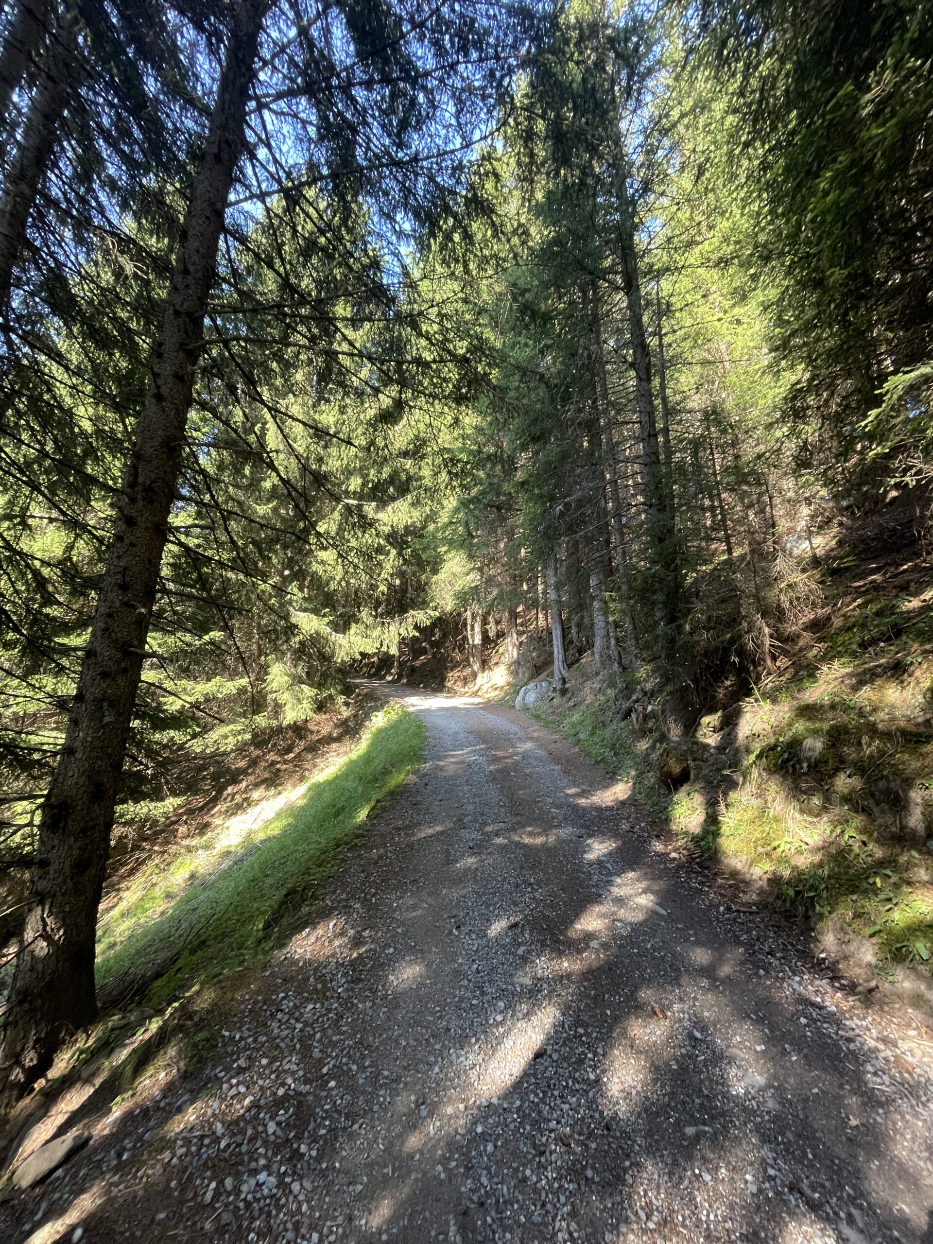
I took an early train from Zurich to reach Davos Frauenkirk and the start of the hike in the morning. It was sunny and already warm when I followed the hiking trail out of the village. The first part of the trail was quite steep and for some time followed a normal road before it turned off into the forest.
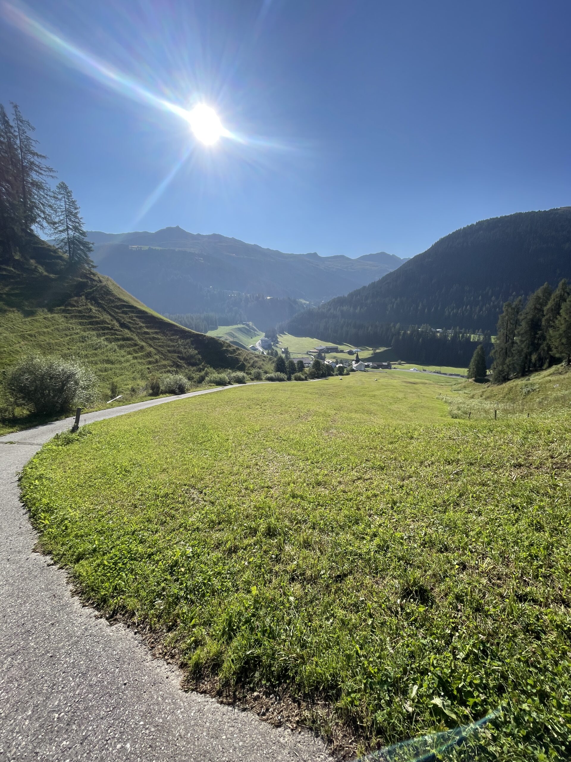
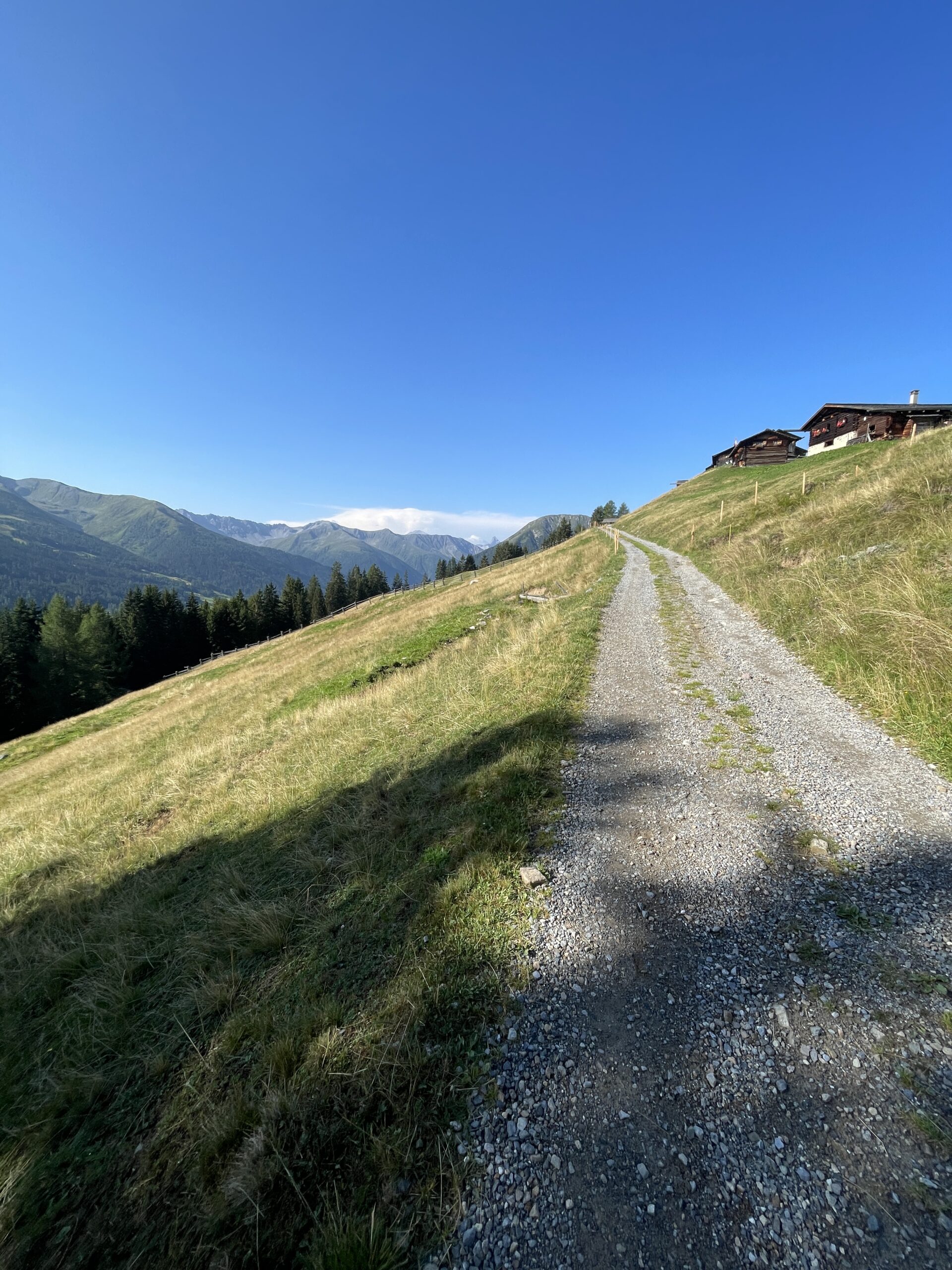
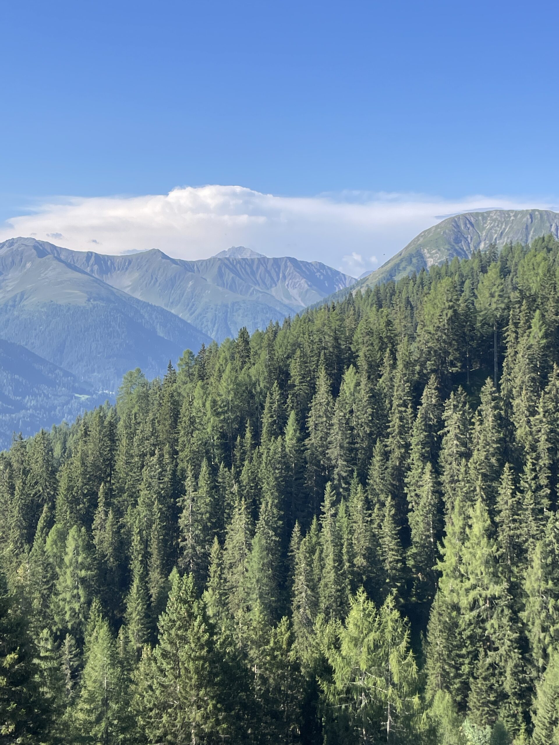
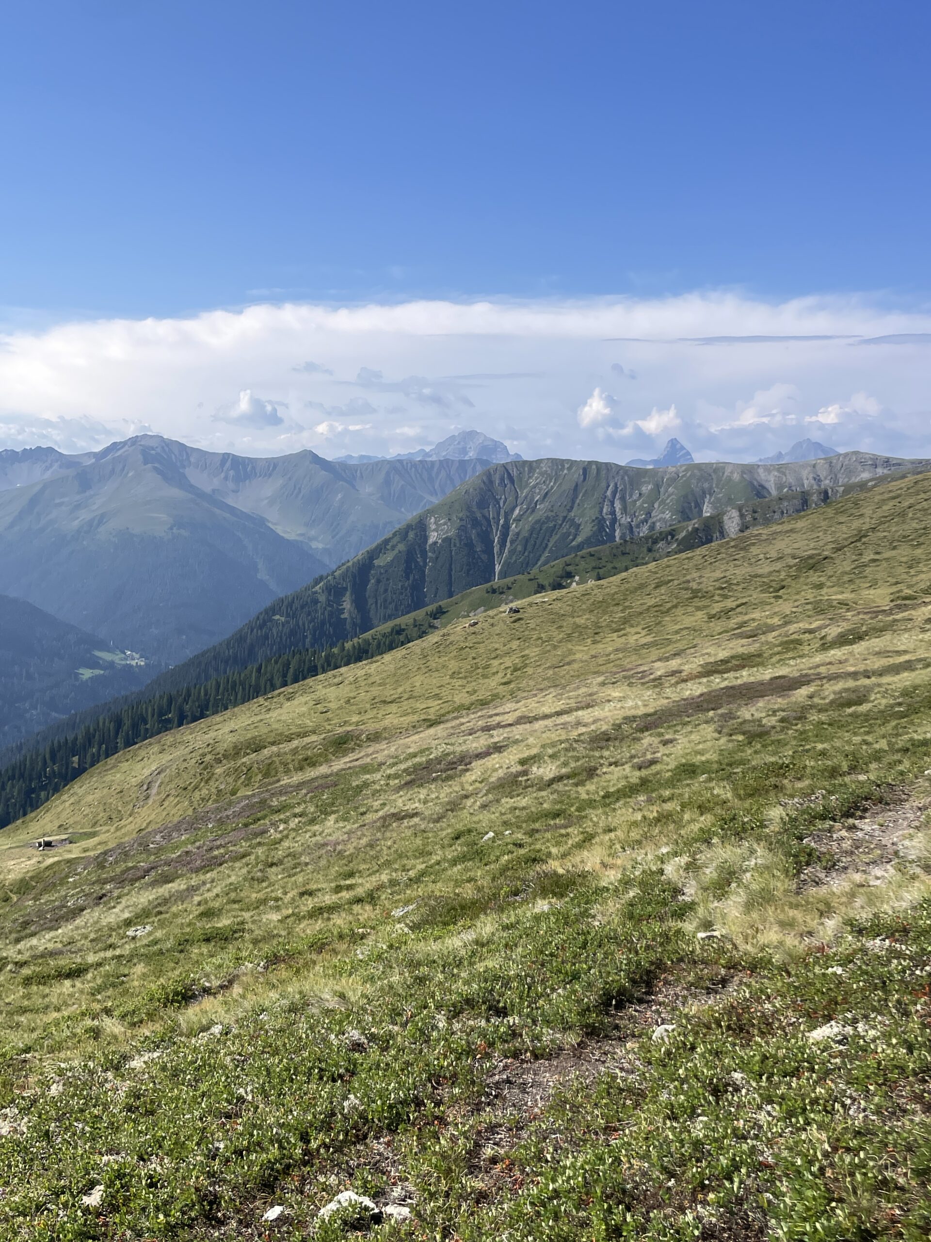
It was nice walking up through the forest in the shade, but I also really enjoyed the views once I was out of the forest again. You quickly get up relatively high and can therefore see quite far in direction Davos and Filisur. There was some clouds in the distance which according to the weather forecast would come closer as the day went by, but luckily I had clear views for the whole ascent.
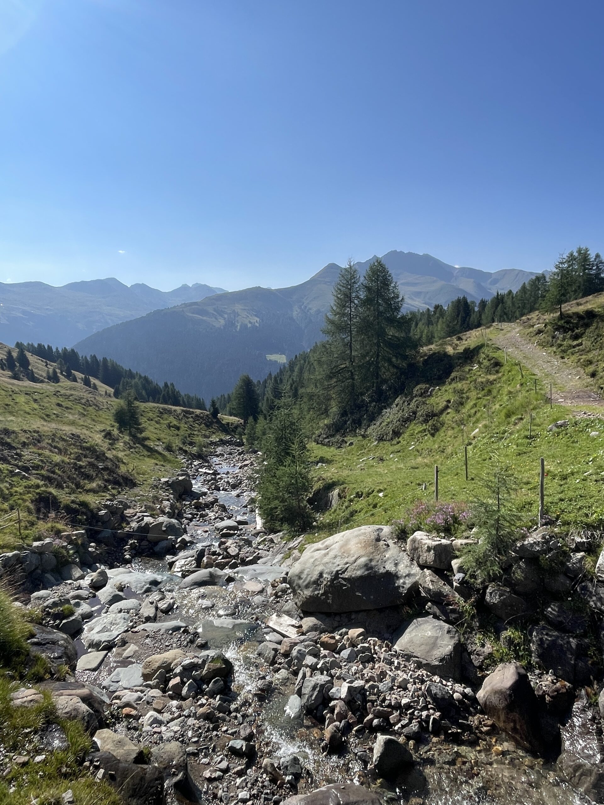
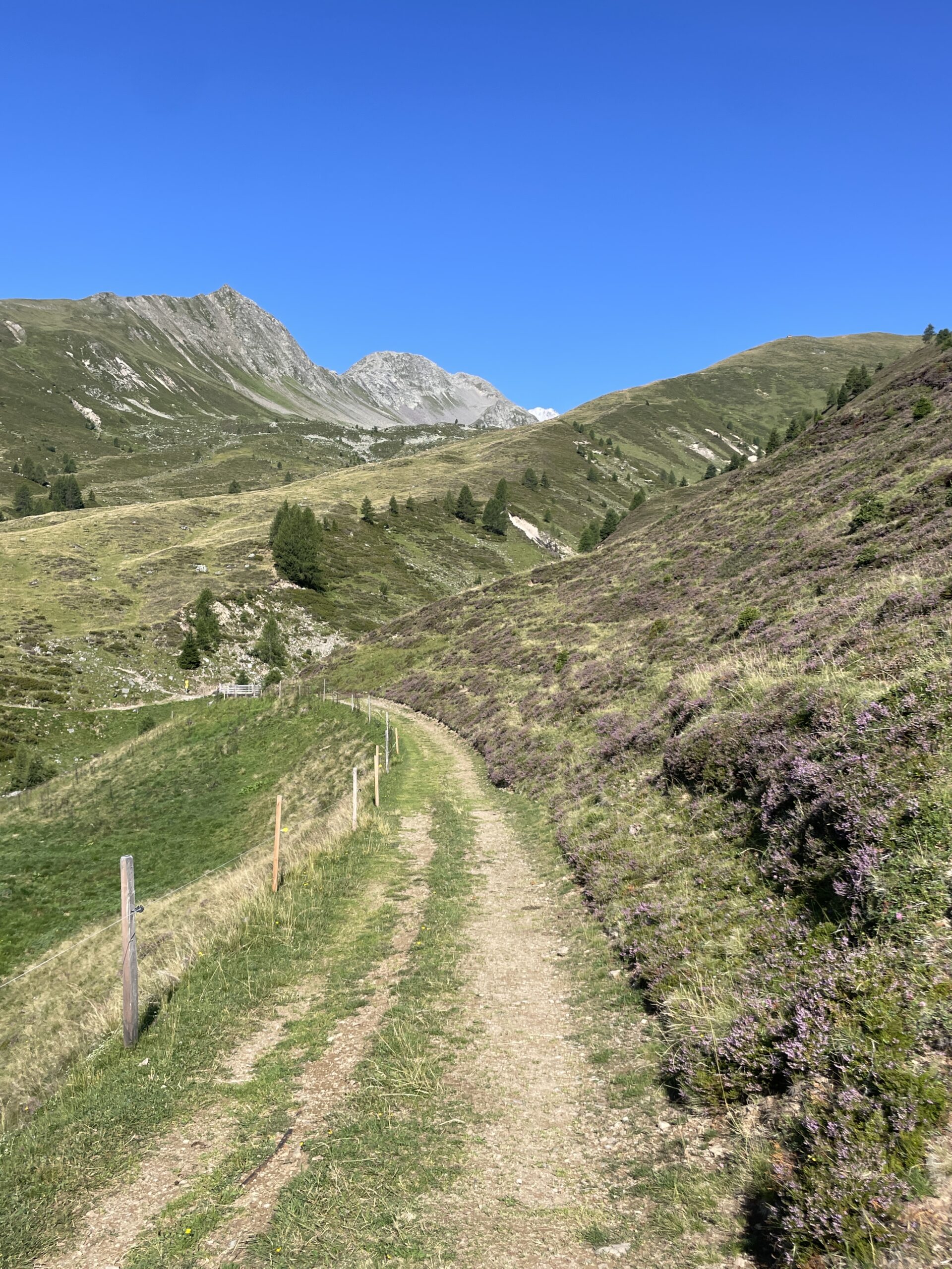
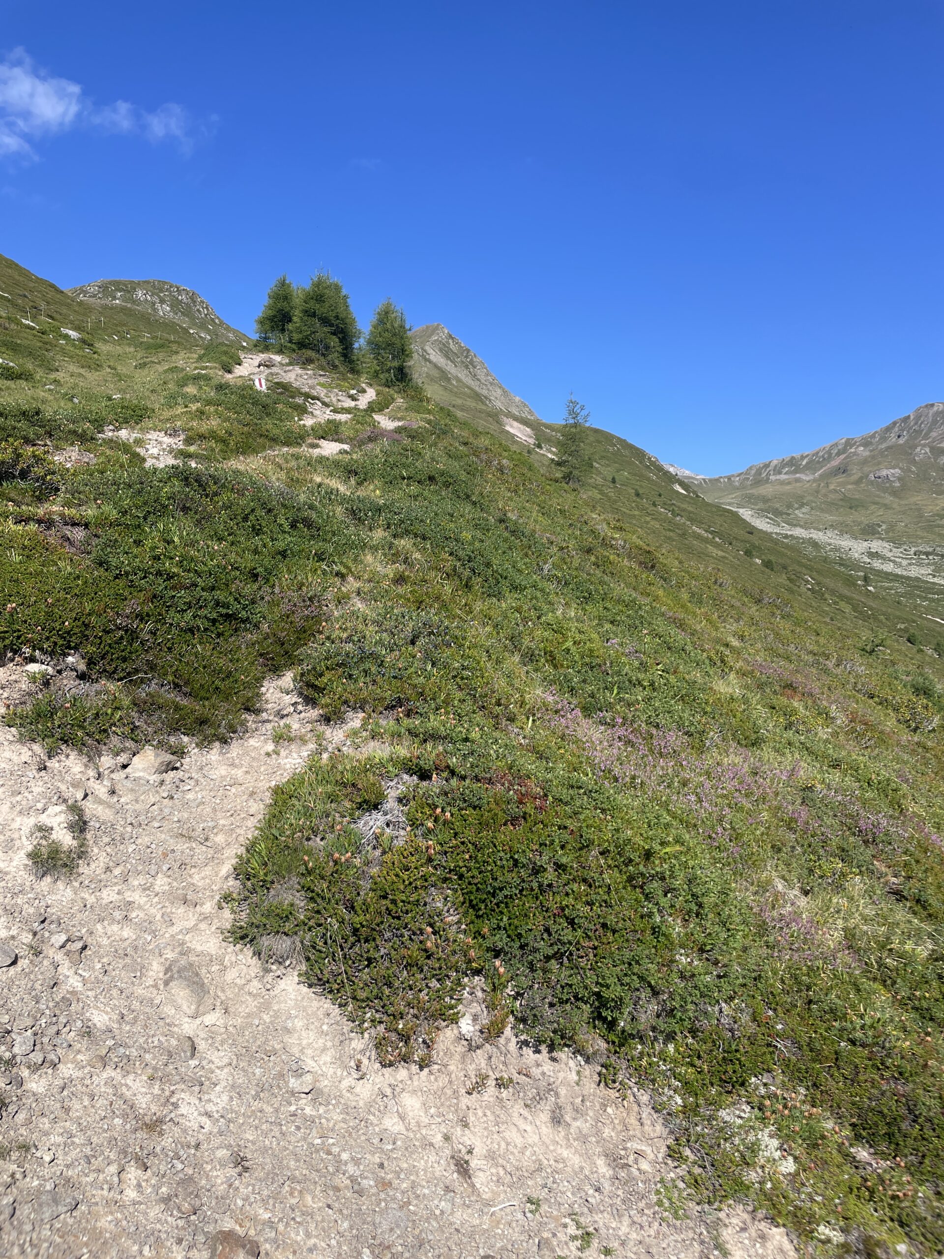
After passing through Stafelalp, a small collection of very nice wooden houses, you start the ascent up in direction Maiafelder Furgga. At the beginning there was lots of vegetation and although it was still summer, I was somehow reminded of autumn by the purple, green and brown colors mixing with each other.
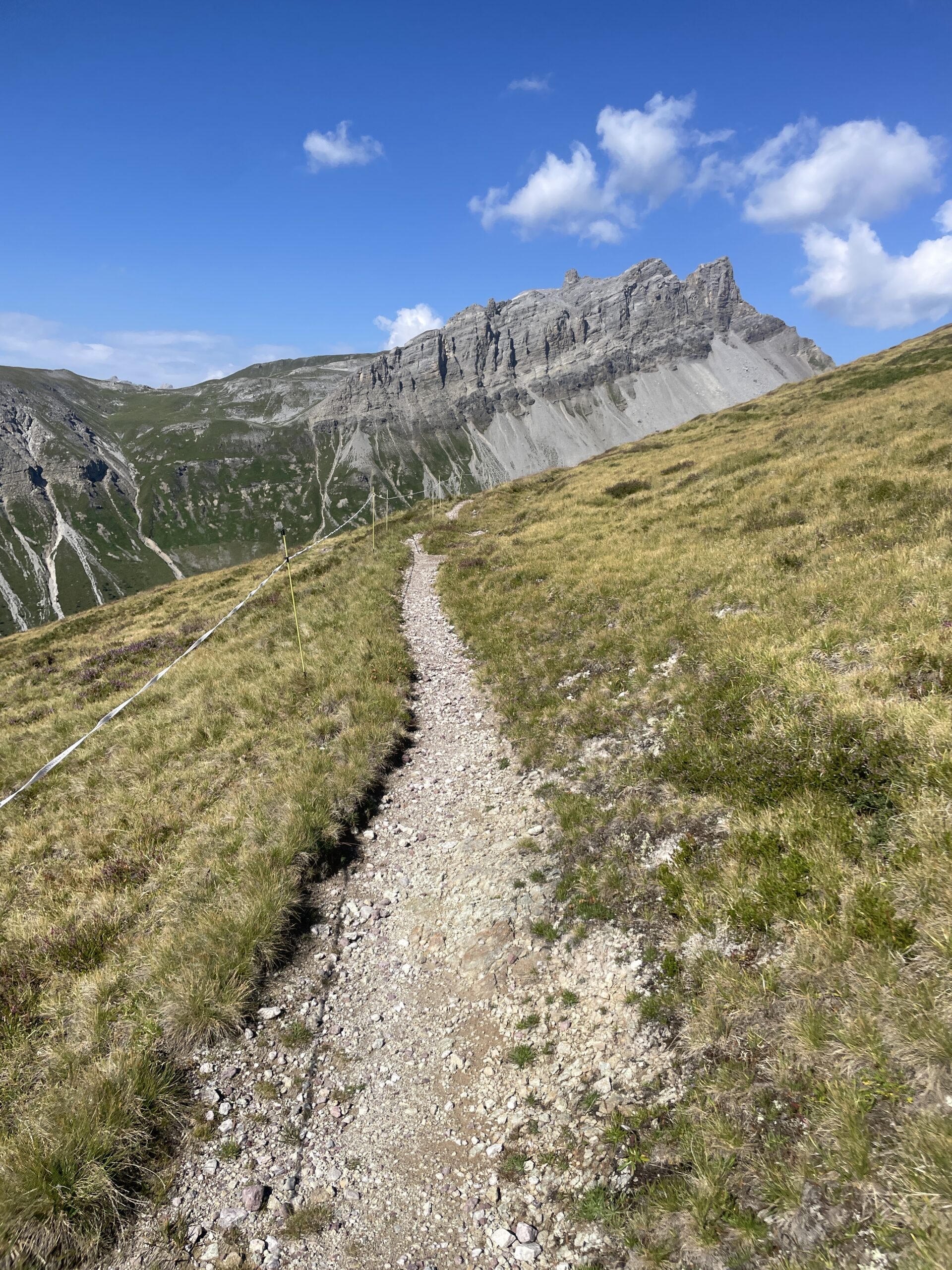
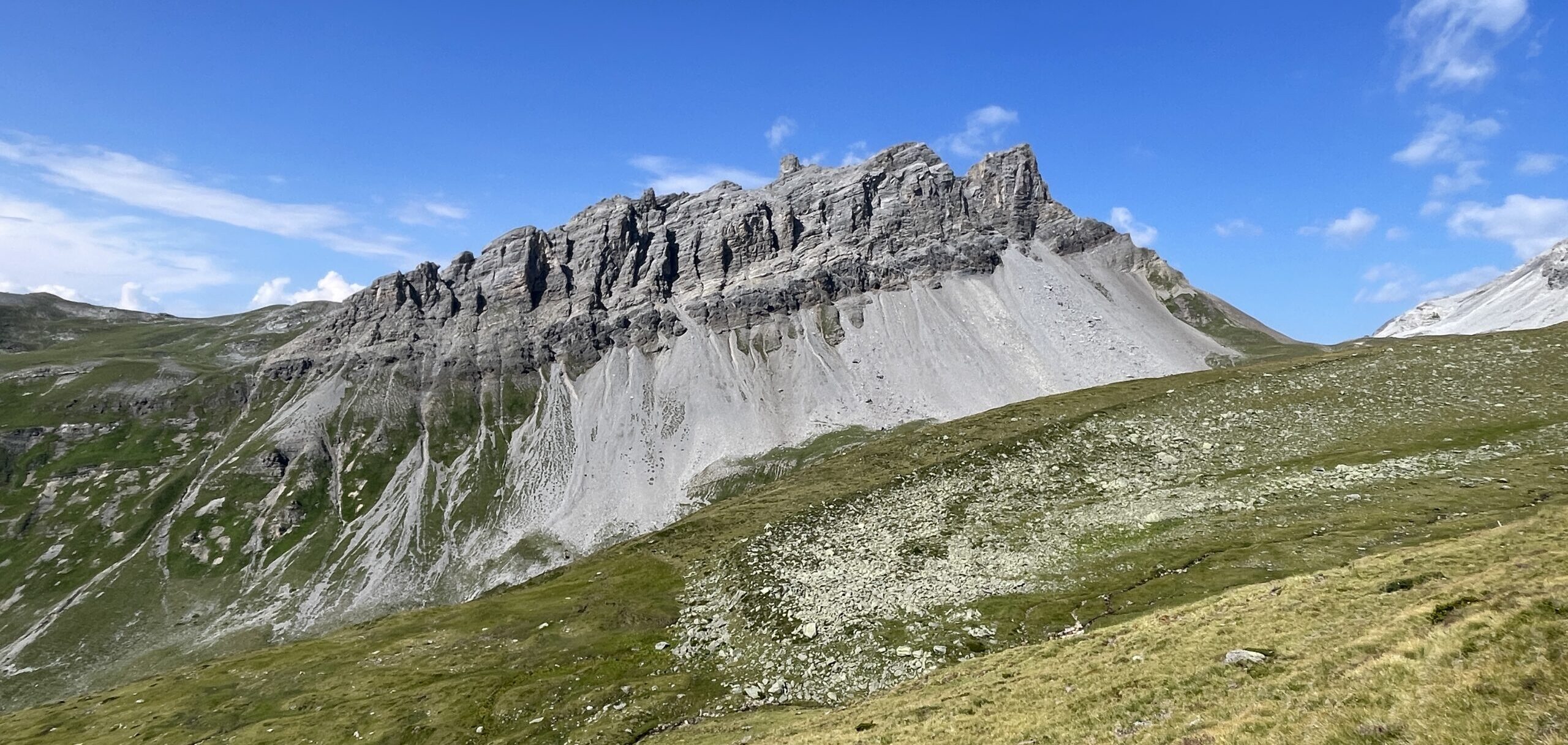
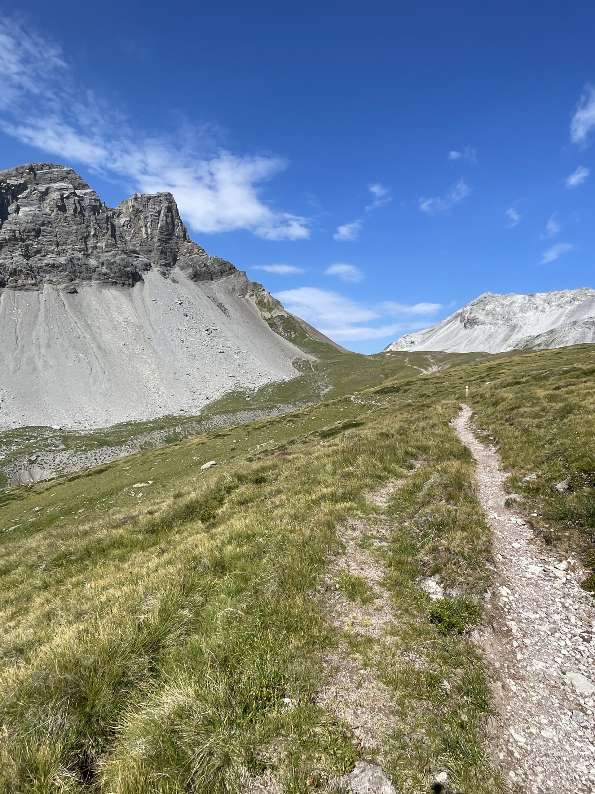
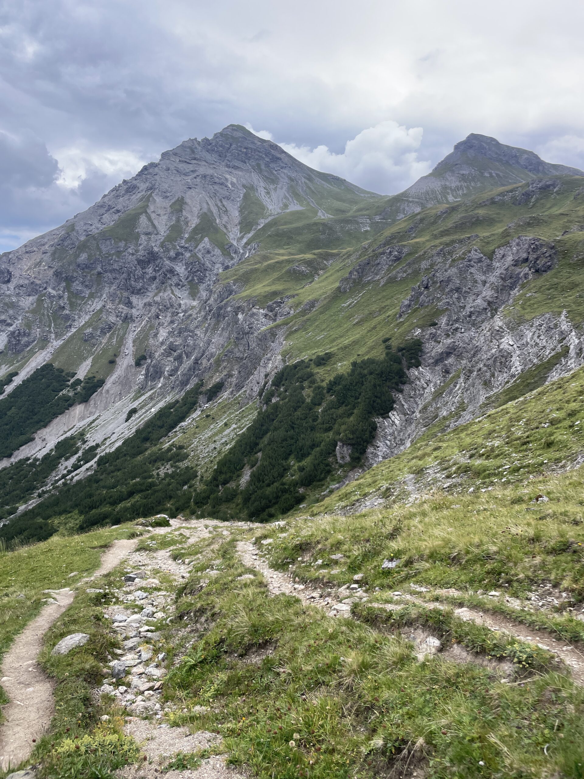
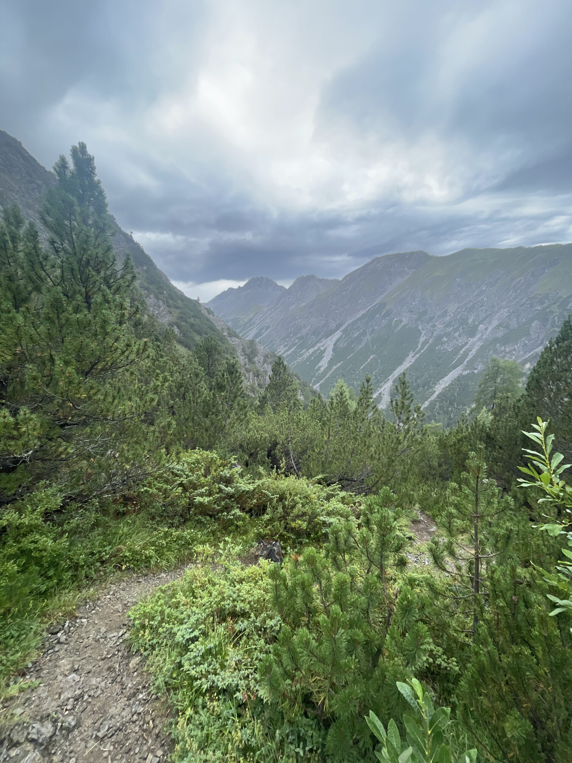
After a shorter but steep part, the trail flattened out and ran for a long while high up above the Chummertälli. From up here, I had even better views towards the mountains above Filisur and Thusis in the far back. The rock formations around Amselturm looked really impressive and you get to pass just beneath them on this trail.
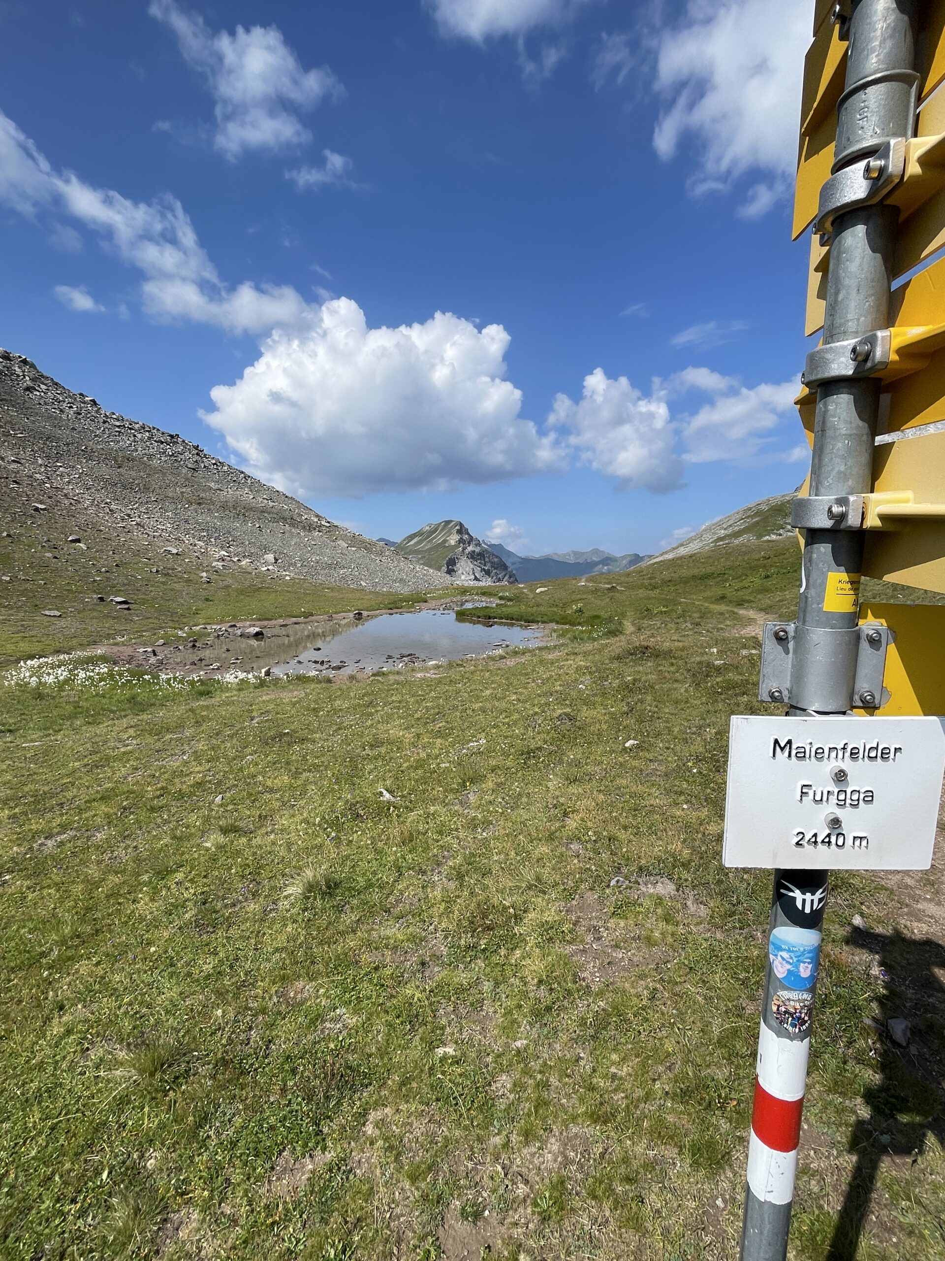
After the long, almost flat part of the trail, I reached Maienfelder Furgga at 2440 m. The views from the pass were great, both towards Arosa and back in direction Davos Frauenkirk. I took some time up here to enjoy the views and also had my lunch break before continuing.
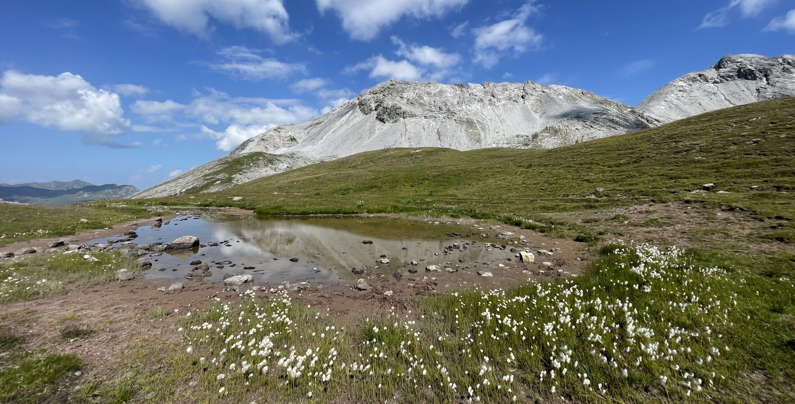
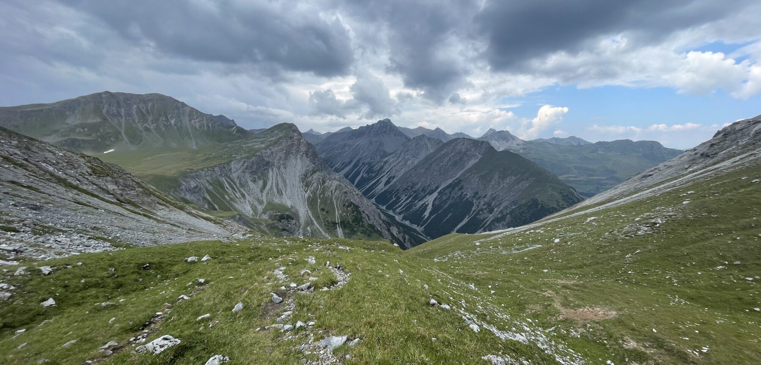
Continuing down from the pass, I got the first views of Arosa down in the valley. I have once before hiked from Arosa up to Parparner Rothorn and I really liked the area. The trail first goes down for about half an hour, before it turns around and continues back up, following the Schiesshorn-Weg. The views were really stunning as I passed by several lakes and the clouds slowly started filling up the sky.
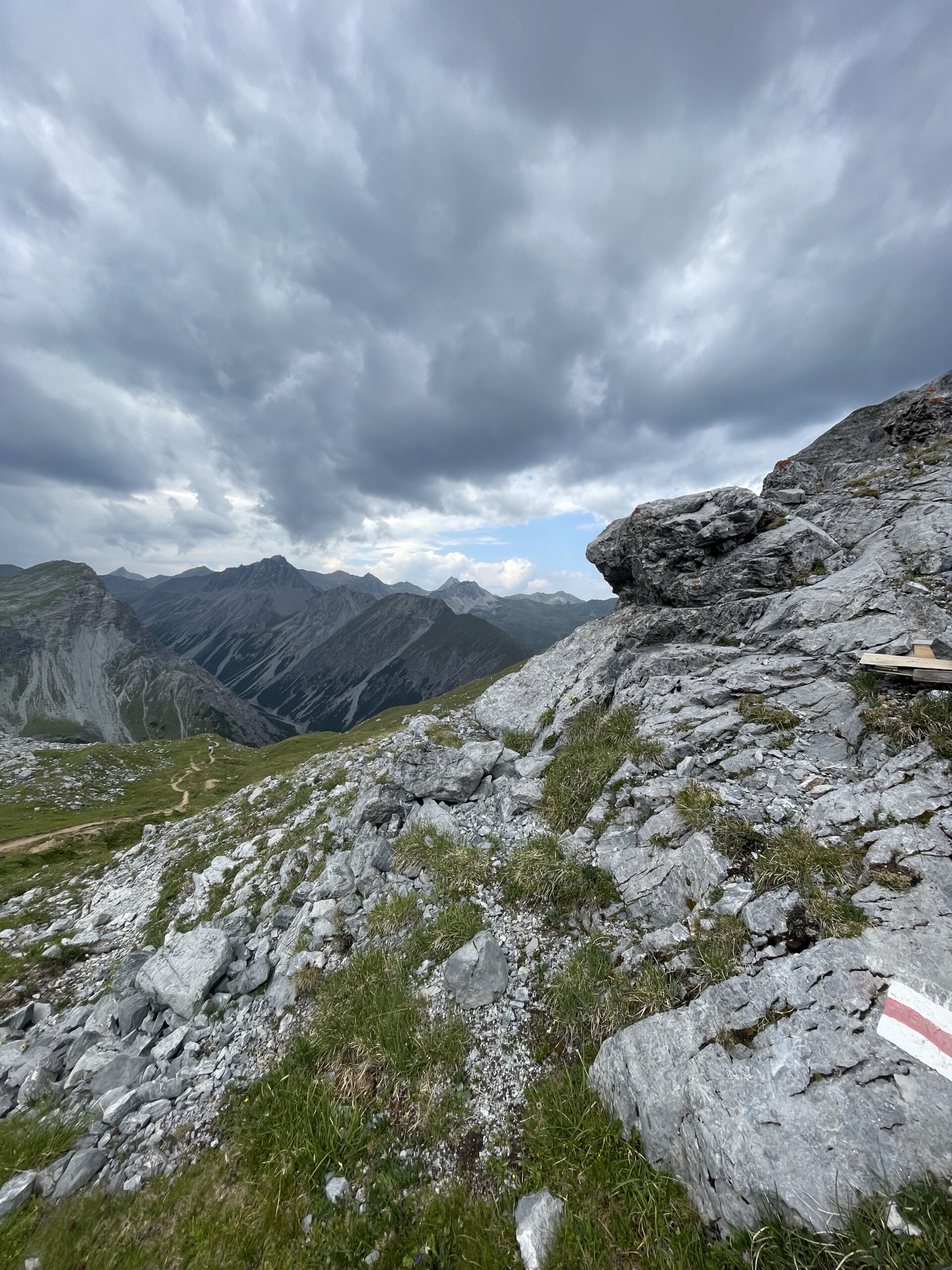
I knew there was a risk of an afternoon storm coming in, which was also the reason I had started as early as possible, and as I approached the next pass below Schiesshorn, the cloud cover got more dense and grey. The views into the valleys and to the mountains were though still amazing.
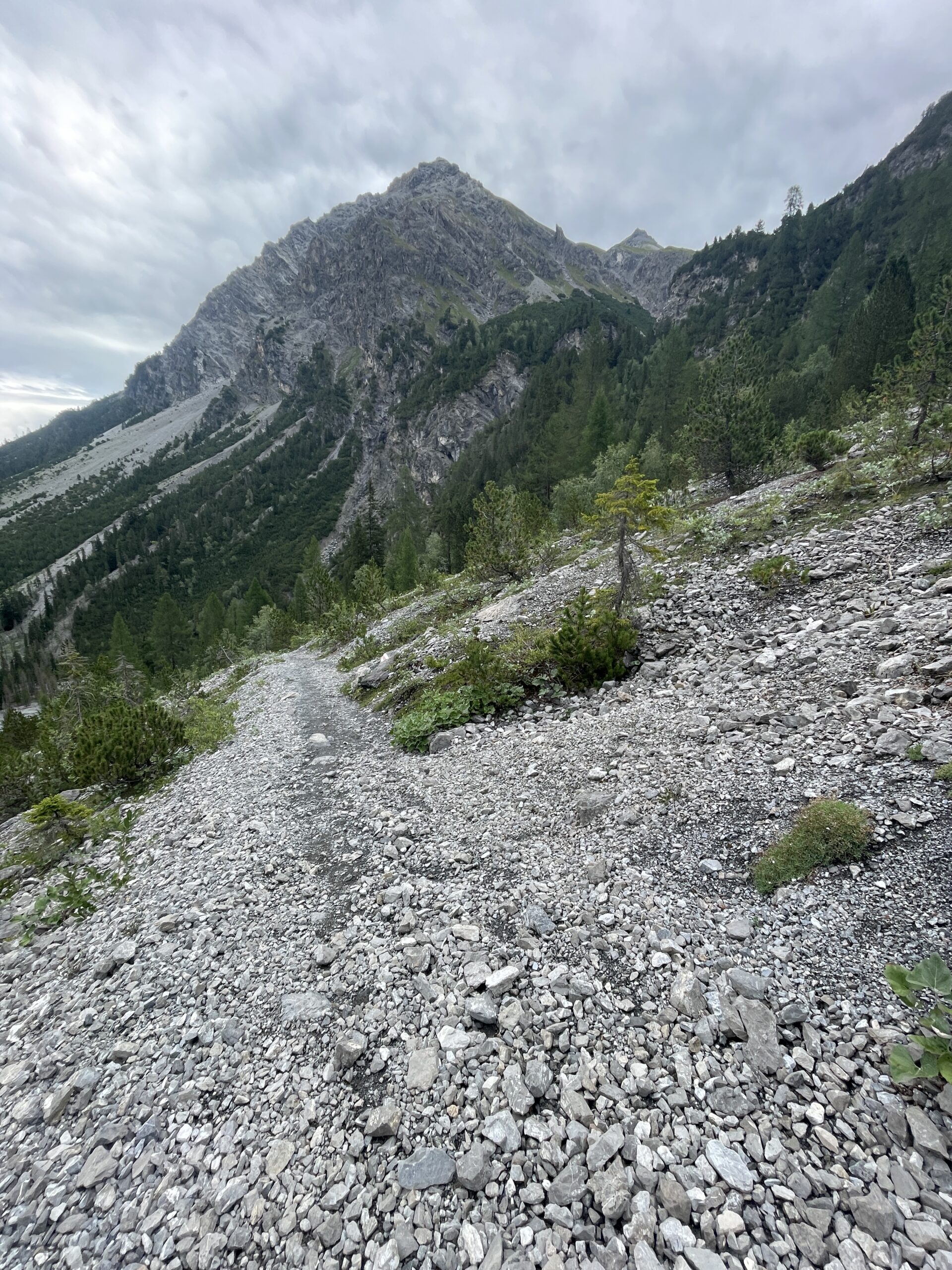
As I started the descent down to Arosa, I was hit by the first rain drops. It quickly turned into a real shower, but only for about half an hour and I was just happy to feel some rain and colder weather after the many heatwaves of the summer. The trail down was a mix of more easy hiking trail and parts filled with looser material, which required a bit more concentration, but still wasn’t difficult.
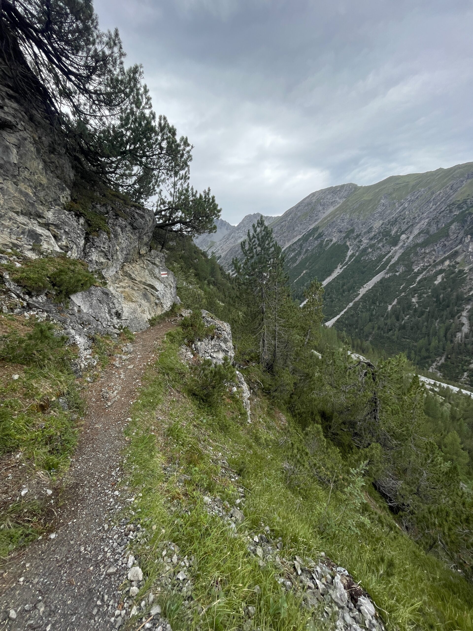
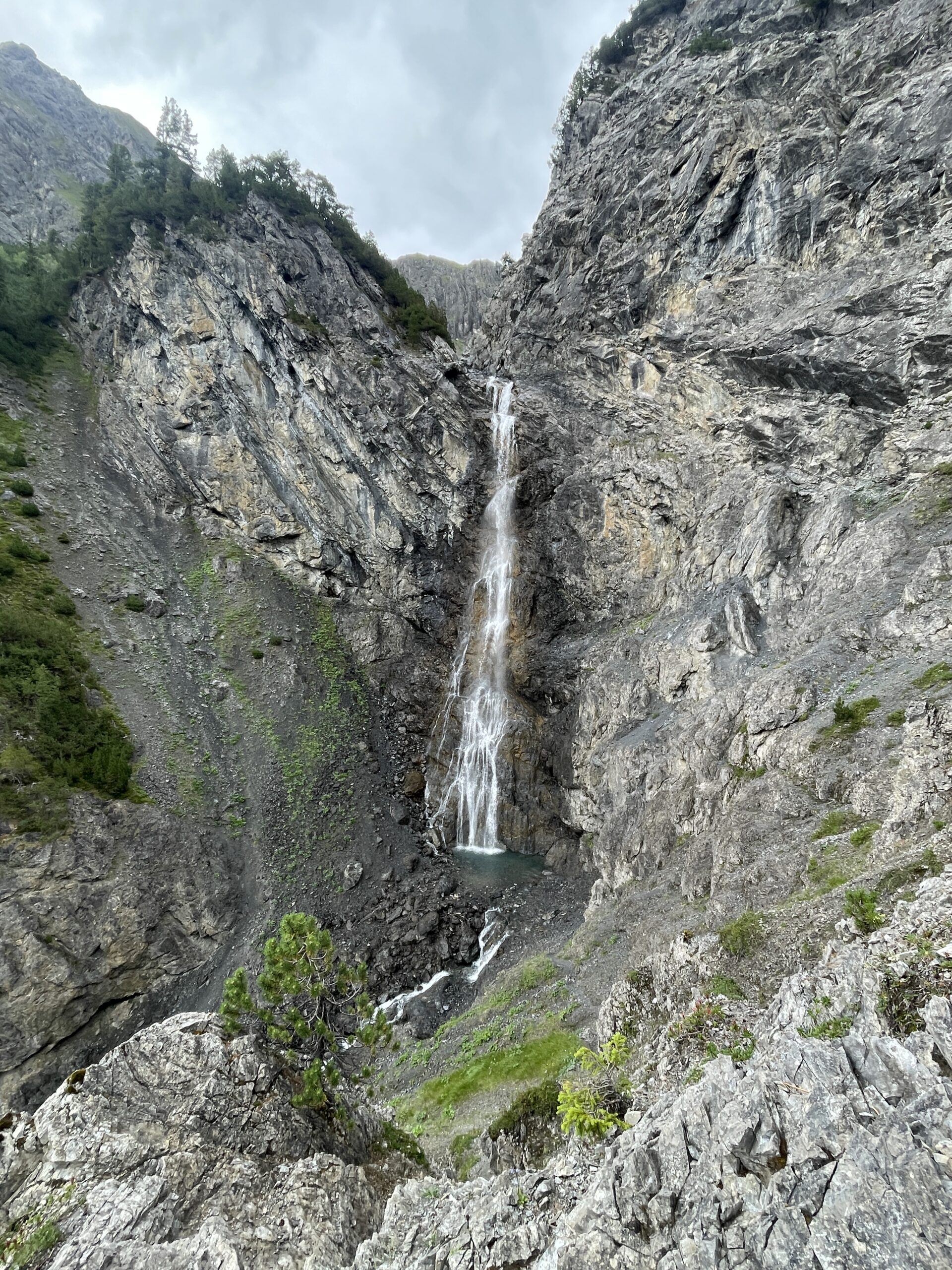
Planning the hike, I had seen a waterfall on the map, which I wanted to include. The trail to the waterfall viewpoint was just a 10 min detour, but a bit narrow and steep at times. At the viewpoint of the Alteiner Waterfall there is a bench and also a narrow trail you can follow to get closer to the waterfall. The waterfall is really beautiful and I was completely alone here, which was very nice.
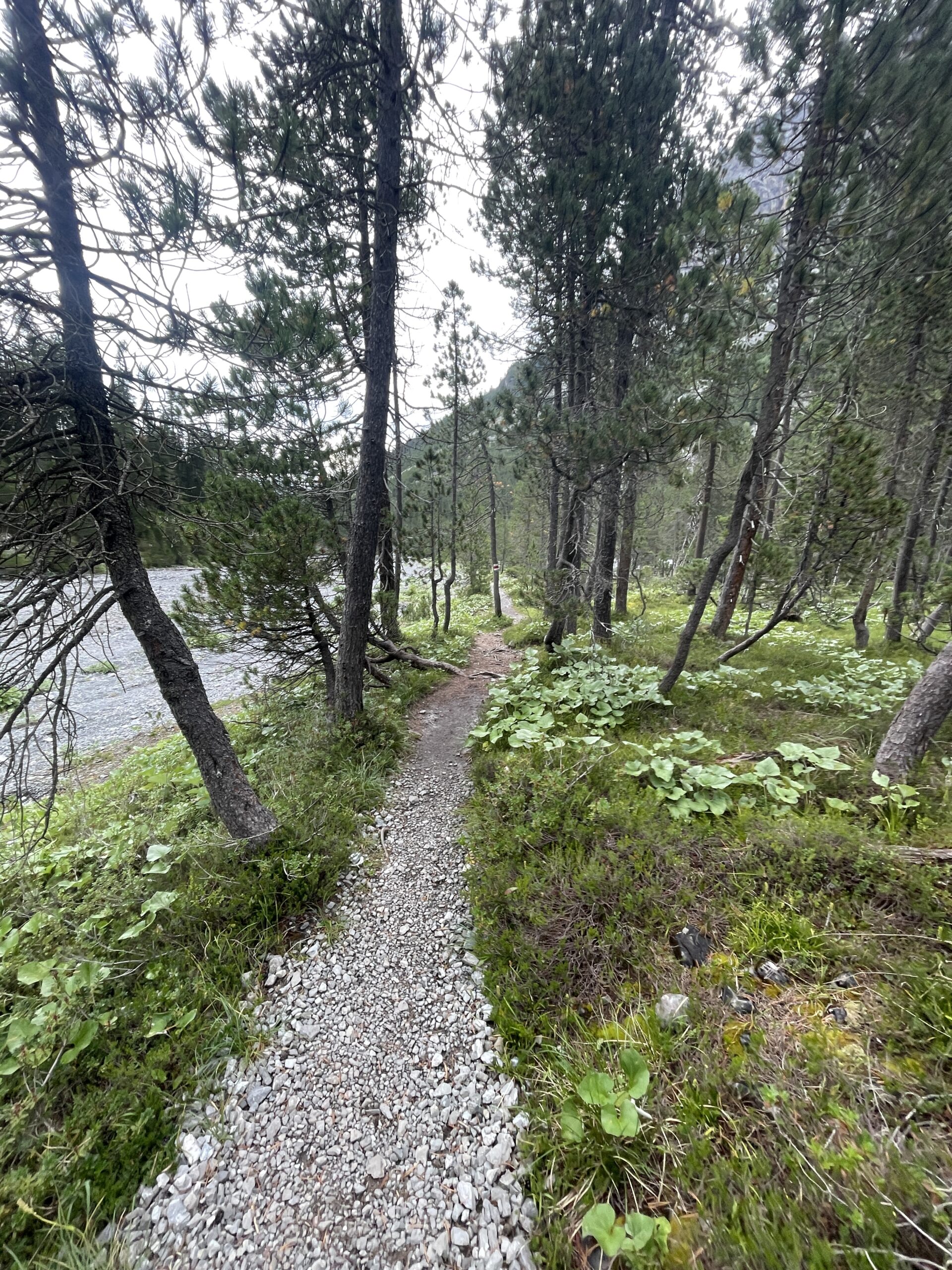
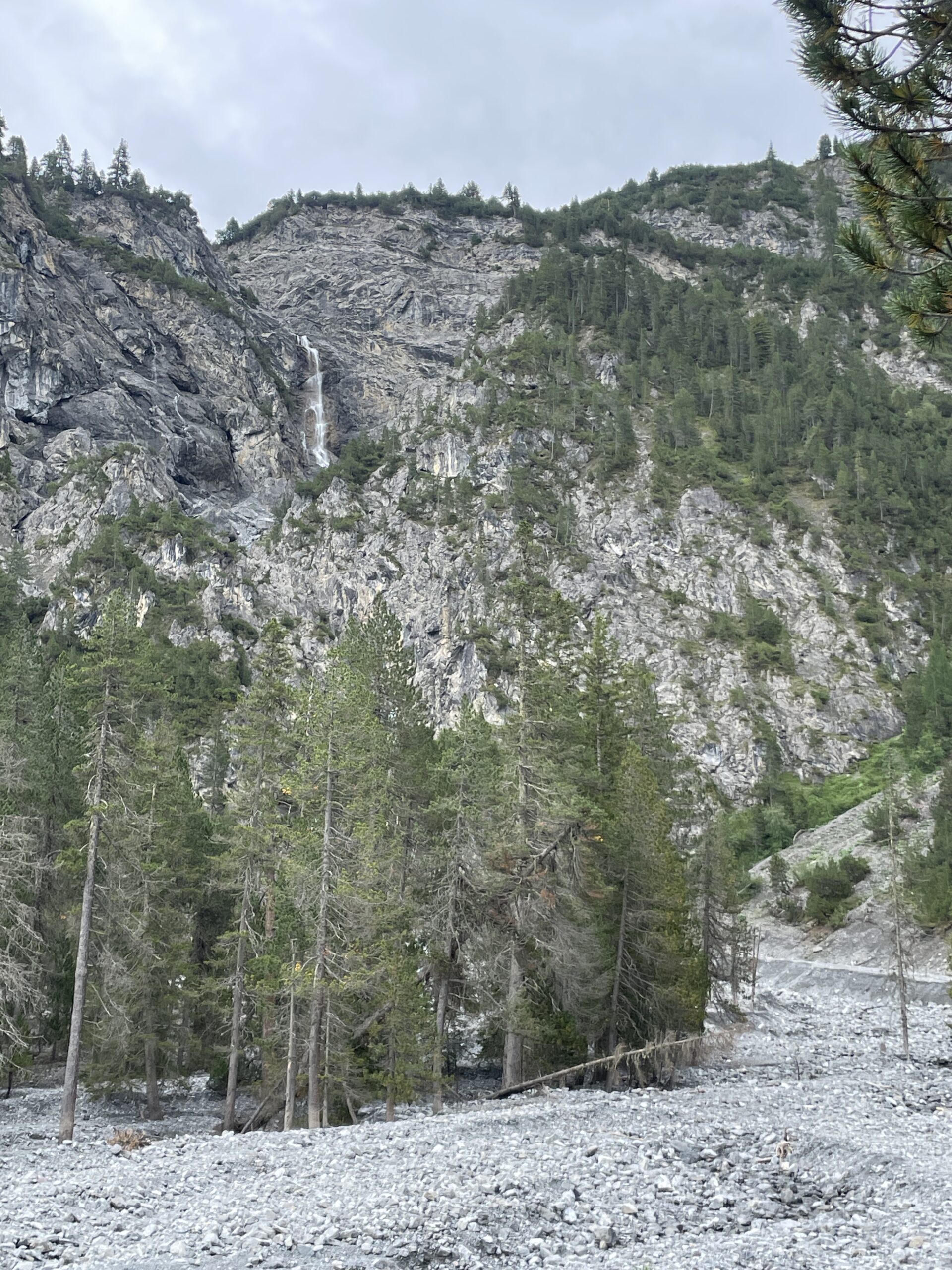
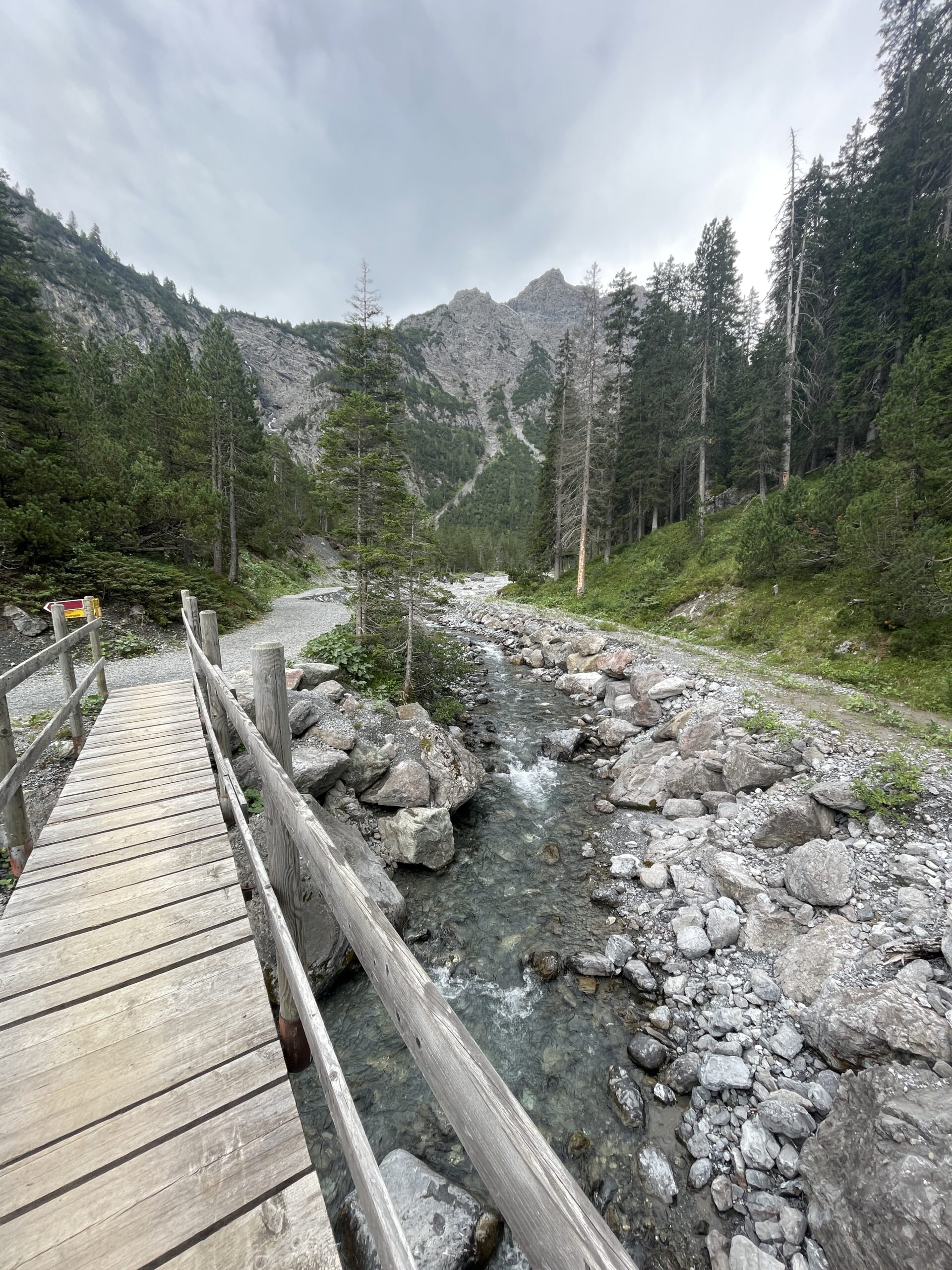
Leaving the waterfall, I continued the last part down to the valley floor, where the trail follows the river for a while. From down here, I could look back up to the Alteiner Waterfall I had just visited. Shortly after, I crossed the river and from here followed the trail back up to Arosa train station, where I took the train back to Chur and from there continued back home to Zurich.
All content and information provided on myswisstrails.com is for general information and entertainment purpose only, and does not constitute professional advice or recommendations of any kind. You are using all the provided information at your own risk. Maps used on this site are from the Federal Office of Topography swisstopo, unless otherwise indicated.